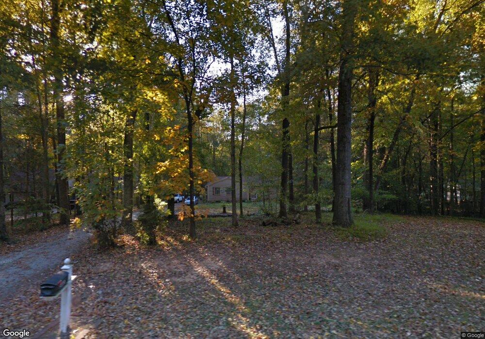
8401 Polaris Dr Bahama, NC 27503
Estimated Value: $334,388 - $358,000
3
Beds
2
Baths
1,500
Sq Ft
$233/Sq Ft
Est. Value
About This Home
This home is located at 8401 Polaris Dr, Bahama, NC 27503 and is currently estimated at $349,847, approximately $233 per square foot. 8401 Polaris Dr is a home located in Durham County with nearby schools including Mangum Elementary School, Lucas Middle School, and Northern High School.
Ownership History
Date
Name
Owned For
Owner Type
Purchase Details
Closed on
Aug 26, 2005
Sold by
Harris Mary P
Bought by
Neville Ymiel and Neville Jo Ann
Current Estimated Value
Home Financials for this Owner
Home Financials are based on the most recent Mortgage that was taken out on this home.
Original Mortgage
$107,000
Outstanding Balance
$63,571
Interest Rate
7.66%
Mortgage Type
Fannie Mae Freddie Mac
Estimated Equity
$286,276
Create a Home Valuation Report for This Property
The Home Valuation Report is an in-depth analysis detailing your home's value as well as a comparison with similar homes in the area
Home Values in the Area
Average Home Value in this Area
Purchase History
| Date | Buyer | Sale Price | Title Company |
|---|---|---|---|
| Neville Ymiel | $132,000 | -- |
Source: Public Records
Mortgage History
| Date | Status | Borrower | Loan Amount |
|---|---|---|---|
| Open | Neville Ymiel | $107,000 | |
| Closed | Neville Ymiel | $26,750 |
Source: Public Records
Tax History Compared to Growth
Tax History
| Year | Tax Paid | Tax Assessment Tax Assessment Total Assessment is a certain percentage of the fair market value that is determined by local assessors to be the total taxable value of land and additions on the property. | Land | Improvement |
|---|---|---|---|---|
| 2025 | $2,294 | $313,862 | $97,000 | $216,862 |
| 2024 | $1,638 | $154,755 | $48,425 | $106,330 |
| 2023 | $1,550 | $154,755 | $48,425 | $106,330 |
| 2022 | $1,483 | $154,755 | $48,425 | $106,330 |
| 2021 | $1,270 | $154,755 | $48,425 | $106,330 |
| 2020 | $1,255 | $154,755 | $48,425 | $106,330 |
| 2019 | $1,255 | $154,755 | $48,425 | $106,330 |
| 2018 | $991 | $113,030 | $28,935 | $84,095 |
| 2017 | $980 | $113,030 | $28,935 | $84,095 |
| 2016 | $948 | $113,030 | $28,935 | $84,095 |
| 2015 | $1,368 | $137,765 | $30,360 | $107,405 |
| 2014 | $1,368 | $137,765 | $30,360 | $107,405 |
Source: Public Records
Map
Nearby Homes
- 8313 Polaris Dr
- 9625 S Lowell Rd
- 8636 Johnson Mill Rd
- 0 Matthew Ln
- 921 Matthew Ln
- 8635 Johnson Mill Rd
- 2210 Harris Rd
- 8200 Bromley Rd
- 418 Quail Roost Farm Rd
- 309 Appaloosa Trail
- 404 Phar Lap Ln
- 10 Pony Ct
- 10620 N Roxboro Rd
- 7433 Guess Rd
- 7421 Guess Rd
- 7415 Guess Rd
- 7409 Guess Rd
- 10418 Stallion Way
- 673 Bill Poole Rd
- 0 Little River Dr Unit 10119715
- 8319 Polaris Dr
- 8407 Polaris Dr
- 8317 Polaris Dr
- 8413 Polaris Dr
- 8402 Polaris Dr
- 8320 Polaris Dr
- 8408 Polaris Dr
- 8318 Polaris Dr
- 8417 Polaris Dr
- 8414 Polaris Dr
- 8312 Polaris Dr
- 8418 Polaris Dr
- 8311 Polaris Dr
- 8503 Polaris Dr
- 8502 Polaris Dr
- 8305 Polaris Dr
- 8306 Polaris Dr
- 8504 Polaris Dr
- 8509 Polaris Dr
- 8303 Polaris Dr