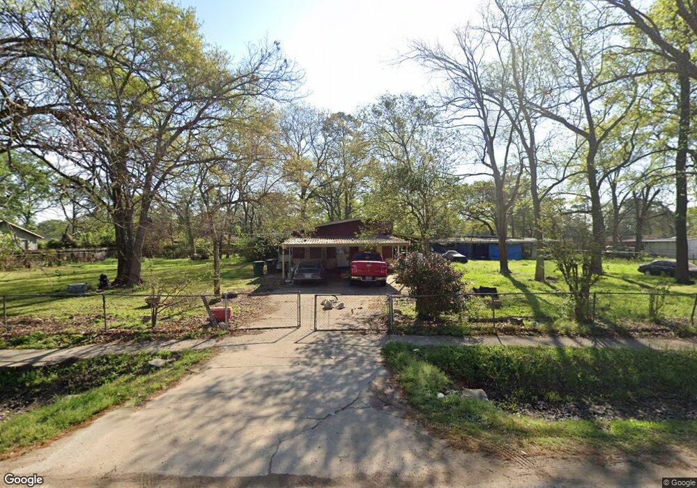
8402 Bertwood St Houston, TX 77016
Trinity-Houston Gardens NeighborhoodEstimated Value: $163,000 - $322,000
3
Beds
2
Baths
1,440
Sq Ft
$164/Sq Ft
Est. Value
About This Home
This home is located at 8402 Bertwood St, Houston, TX 77016 and is currently estimated at $236,681, approximately $164 per square foot. 8402 Bertwood St is a home located in Harris County with nearby schools including Felix Cook Jr. Elementary School, Key Middle, and Kashmere High School.
Ownership History
Date
Name
Owned For
Owner Type
Purchase Details
Closed on
Mar 15, 2007
Sold by
Bynum Georgia Ware
Bought by
Thompson Michael Dean
Current Estimated Value
Purchase Details
Closed on
Aug 29, 1996
Sold by
Bynum Georgia Lee
Bought by
Downey Donnis
Purchase Details
Closed on
Nov 17, 1994
Sold by
Inkley Luther Murden and Suzanne Inkley E
Bought by
Bynum Willie F and Bynum Georgia Lee
Create a Home Valuation Report for This Property
The Home Valuation Report is an in-depth analysis detailing your home's value as well as a comparison with similar homes in the area
Home Values in the Area
Average Home Value in this Area
Purchase History
| Date | Buyer | Sale Price | Title Company |
|---|---|---|---|
| Thompson Michael Dean | -- | None Available | |
| Downey Donnis | -- | -- | |
| Bynum Willie F | -- | -- |
Source: Public Records
Tax History Compared to Growth
Tax History
| Year | Tax Paid | Tax Assessment Tax Assessment Total Assessment is a certain percentage of the fair market value that is determined by local assessors to be the total taxable value of land and additions on the property. | Land | Improvement |
|---|---|---|---|---|
| 2025 | $2,022 | $377,992 | $189,000 | $188,992 |
| 2024 | $2,022 | $173,342 | $130,680 | $42,662 |
| 2023 | $2,022 | $165,520 | $118,800 | $46,720 |
| 2022 | $2,008 | $134,543 | $99,000 | $35,543 |
| 2021 | $1,933 | $82,924 | $49,500 | $33,424 |
| 2020 | $1,950 | $80,534 | $49,500 | $31,034 |
| 2019 | $1,880 | $80,534 | $49,500 | $31,034 |
| 2018 | $0 | $67,539 | $44,550 | $22,989 |
| 2017 | $3,416 | $67,539 | $44,550 | $22,989 |
| 2016 | $1,610 | $66,049 | $44,550 | $21,499 |
| 2015 | -- | $63,702 | $44,550 | $19,152 |
| 2014 | -- | $63,702 | $44,550 | $19,152 |
Source: Public Records
Map
Nearby Homes
- 8218 Bertwood St
- 8312 Lanewood Dr
- 8502 Shady Dr
- 8420 Lanewood Dr
- 7910 Allwood St
- 0 Shreveport Blvd
- 6606 Weaver Rd
- 6705 Roanoke St
- 8634 Allwood St
- 8598 Hoffman St
- 8602 Hoffman St
- 6719 Roanoke St
- 8121 Shotwell St
- 6908 S Hall St
- 8636 Allwood St
- 7904 Hoffman St
- 6838 Carothers St
- 6842 Carothers St
- 8514 Spaulding St
- 8716 Allwood St
- 8310 Bertwood St
- 8414 Bertwood St
- 8407 Shady Dr
- 8321 Shady Dr
- 8306 Bertwood St
- 8413 Bertwood St
- 8416 Bertwood St
- 8411 Shady Dr
- 8317 Bertwood St
- 8315 Bertwood St
- 8401 Bertwood St
- 8313 Bertwood St
- 8302 Bertwood St
- 8309 Bertwood St
- 8422 Bertwood St
- 8305 Bertwood St
- 8417 Bertwood St
- 8317 Shady Dr
- 8222 Bertwood St
- 8413 Shady Dr