8406 Mattie Rd Mulberry, AR 72947
Estimated Value: $160,000 - $304,000
--
Bed
2
Baths
2,158
Sq Ft
$101/Sq Ft
Est. Value
About This Home
This home is located at 8406 Mattie Rd, Mulberry, AR 72947 and is currently estimated at $218,986, approximately $101 per square foot. 8406 Mattie Rd is a home located in Franklin County with nearby schools including Marvin Primary School, Pleasant View Junior High School, and Mulberry High School.
Ownership History
Date
Name
Owned For
Owner Type
Purchase Details
Closed on
Oct 25, 1996
Bought by
Sisemore Fisher and Sisemore Sisemore
Current Estimated Value
Purchase Details
Closed on
Sep 6, 1996
Bought by
Fisher and Fisher
Purchase Details
Closed on
Oct 1, 1990
Bought by
Fisher and Fisher
Purchase Details
Closed on
Oct 24, 1984
Bought by
10 Ac and 10 10
Create a Home Valuation Report for This Property
The Home Valuation Report is an in-depth analysis detailing your home's value as well as a comparison with similar homes in the area
Home Values in the Area
Average Home Value in this Area
Purchase History
| Date | Buyer | Sale Price | Title Company |
|---|---|---|---|
| Sisemore Fisher | $61,000 | -- | |
| Fisher | -- | -- | |
| Fisher | -- | -- | |
| 10 Ac | -- | -- |
Source: Public Records
Tax History Compared to Growth
Tax History
| Year | Tax Paid | Tax Assessment Tax Assessment Total Assessment is a certain percentage of the fair market value that is determined by local assessors to be the total taxable value of land and additions on the property. | Land | Improvement |
|---|---|---|---|---|
| 2024 | $896 | $34,300 | $3,600 | $30,700 |
| 2023 | $913 | $34,300 | $3,600 | $30,700 |
| 2022 | $904 | $34,300 | $3,600 | $30,700 |
| 2021 | $759 | $34,300 | $3,600 | $30,700 |
| 2020 | $706 | $23,590 | $2,800 | $20,790 |
| 2019 | $705 | $23,590 | $2,800 | $20,790 |
| 2018 | $730 | $23,590 | $2,800 | $20,790 |
| 2017 | $730 | $23,590 | $2,800 | $20,790 |
| 2016 | $705 | $23,037 | $2,730 | $20,307 |
| 2015 | $655 | $21,940 | $2,600 | $19,340 |
| 2014 | -- | $21,940 | $2,600 | $19,340 |
| 2013 | -- | $21,940 | $2,600 | $19,340 |
Source: Public Records
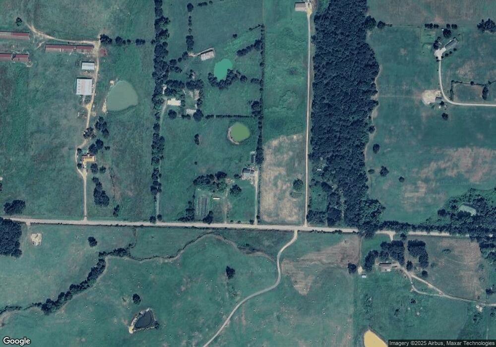
Map
Nearby Homes
- 7309 Hickory Ridge Rd
- 101 Reynolds St
- 210 W 2nd St
- 519 Church Ave
- 206 W 5th St
- 10117 Beth Lynn Rd
- 770 Church Ave
- 1046 Pleasant Hill Rd
- 9643 Wire Rd
- 5527 Wire Rd
- 000 N Highway 41
- 001 Gin Town Rd
- 206 & 216 W 5th St
- TBD Scenic View Rd
- TBD Duncan Rd
- 6621 Arkansas 215
- 0 Citadel Bluff Trail
- 918 Citadel Bluff Trail
- TBD (lot 30) Keystone Dr
- TBD (lot 29) Keystone Dr
- 8516 Mattie Rd
- 8610 Mattie Rd
- 8227 Mattie Rd
- 8336 Mattie Rd
- 7429 Sandy Branch Rd
- 8105 Mattie Rd
- 8738 Mattie Rd
- 7627 Sandy Branch Rd
- 8735 Mattie Rd
- 7941 Mattie Rd
- 7747 Sandy Branch Rd
- 7900 Mattie Rd
- 7811 Sandy Branch Rd
- 7811 Sandy Branch Rd
- 9011 Mattie Rd
- 8041 Ruby Rd
- 9250 Mattie Rd
- 7709 Mattie Rd
- 7900 Sandy Branch Rd
- 7900 Sandy Branch Rd