841 Grouse Creek Rd Driggs, ID 83422
Estimated Value: $1,807,000 - $2,140,000
3
Beds
4
Baths
4,660
Sq Ft
$423/Sq Ft
Est. Value
About This Home
This home is located at 841 Grouse Creek Rd, Driggs, ID 83422 and is currently estimated at $1,973,500, approximately $423 per square foot. 841 Grouse Creek Rd is a home with nearby schools including Teton High School.
Ownership History
Date
Name
Owned For
Owner Type
Purchase Details
Closed on
Jan 14, 2008
Sold by
Phillips Ray E and Phillips Debbiee
Bought by
Schoenberg Rich
Current Estimated Value
Purchase Details
Closed on
Jun 22, 2005
Sold by
Innercircle Llc
Bought by
Weatherbie Dan L and Weatherbie Cynthia
Create a Home Valuation Report for This Property
The Home Valuation Report is an in-depth analysis detailing your home's value as well as a comparison with similar homes in the area
Home Values in the Area
Average Home Value in this Area
Purchase History
| Date | Buyer | Sale Price | Title Company |
|---|---|---|---|
| Schoenberg Rich | -- | -- | |
| Weatherbie Dan L | -- | -- |
Source: Public Records
Tax History Compared to Growth
Tax History
| Year | Tax Paid | Tax Assessment Tax Assessment Total Assessment is a certain percentage of the fair market value that is determined by local assessors to be the total taxable value of land and additions on the property. | Land | Improvement |
|---|---|---|---|---|
| 2025 | $4,343 | $1,614,741 | $404,280 | $1,210,461 |
| 2024 | $4,343 | $1,479,981 | $269,520 | $1,210,461 |
| 2023 | $4,343 | $1,466,505 | $256,044 | $1,210,461 |
| 2022 | $4,639 | $1,242,726 | $188,664 | $1,054,062 |
| 2021 | $5,562 | $951,674 | $168,450 | $783,224 |
| 2020 | $5,892 | $823,872 | $168,450 | $655,422 |
| 2019 | $5,789 | $823,872 | $168,450 | $655,422 |
| 2018 | $4,676 | $637,419 | $26,469 | $610,950 |
| 2017 | $4,211 | $632,379 | $21,429 | $610,950 |
| 2016 | $4,142 | $581,112 | $23,334 | $557,778 |
| 2015 | $4,131 | $506,648 | $23,179 | $483,469 |
| 2011 | -- | $602,098 | $134,760 | $467,338 |
Source: Public Records
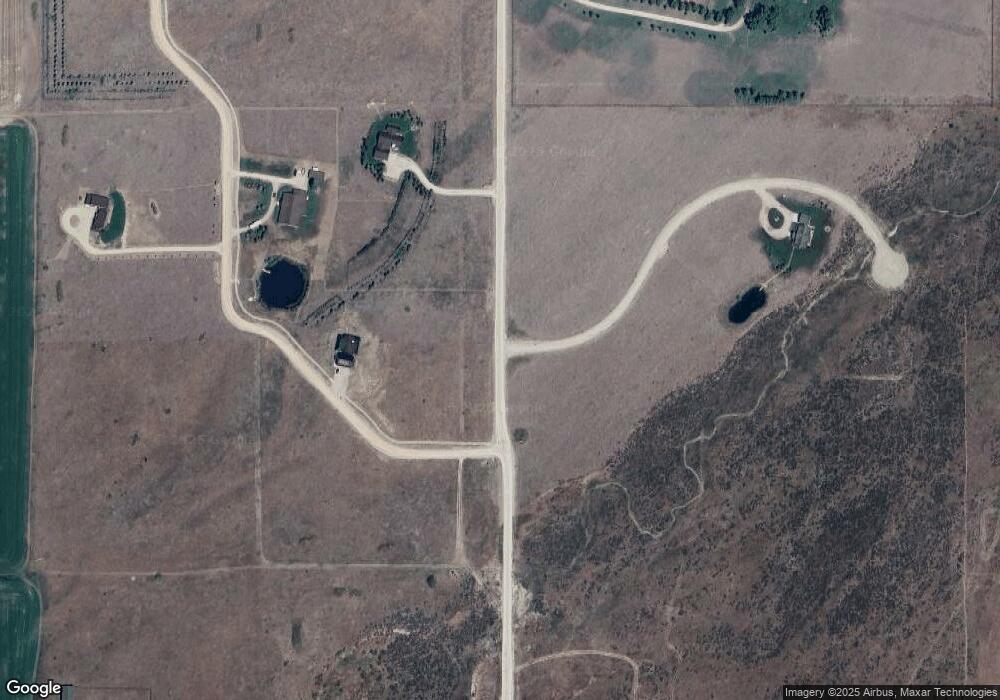
Map
Nearby Homes
- 358 Solitude Ln
- 517 Granite Basin Loop
- 0 Shady Grove Ln
- 64 W 7000 N
- 2217 Apsaroke Trail
- 2284 Apsaroke Trail
- 2435 Steelhead Dr
- 2386 N 6000 N
- 5775 N 500 W
- 5554 Rancheros Loop
- 1169 W 6500 N
- 5223 Rancheros Loop
- 4764 Wydaho Ranch Trail
- 4085 Leigh Ln
- 9370 Luster Ct
- 4705 N 1000 E
- 4660 Pale Morning Dr
- 1180 Stillwater Loop
- LOT 11 Grouse Run
- LOT 2 Grouse Run
- 751 Grouse Creek Rd
- 951 Grouse Creek Rd
- 350 Grouse Creek Rd
- 0 Tbd Grouse Creek Unit 19-2816
- 806 Arrow Head Rd
- 7151 Obsidian Dr
- 706 N 100 E
- 702 N 100 E
- 12 Grouse Creek Loop
- 788 Arrow Head Rd
- 641 Grouse Creek Rd
- 671 Grouse Creek Rd
- TBD Grouse Creek Rd
- 517 Fossil Loop
- LOT 9 Lot 9 Dry Ridge Estates
- 311 Grouse Creek Rd
- 754 Arrow Head Rd
- 7154 Obsidian Dr
- 10 Grouse Creek Meadows Dr
- 9 Grouse Creek Meadows Dr