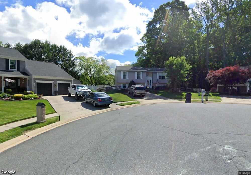
841 High Plain Dr Bel Air, MD 21014
Estimated Value: $349,000 - $485,000
--
Bed
1
Bath
1,191
Sq Ft
$346/Sq Ft
Est. Value
About This Home
This home is located at 841 High Plain Dr, Bel Air, MD 21014 and is currently estimated at $412,134, approximately $346 per square foot. 841 High Plain Dr is a home located in Harford County with nearby schools including Homestead-Wakefield Elementary School, Bel Air Middle School, and Bel Air High School.
Ownership History
Date
Name
Owned For
Owner Type
Purchase Details
Closed on
Nov 17, 1987
Sold by
Security Management Corp
Bought by
Ballard Robert A and Ballard Pamela J
Current Estimated Value
Home Financials for this Owner
Home Financials are based on the most recent Mortgage that was taken out on this home.
Original Mortgage
$97,300
Interest Rate
10.66%
Create a Home Valuation Report for This Property
The Home Valuation Report is an in-depth analysis detailing your home's value as well as a comparison with similar homes in the area
Home Values in the Area
Average Home Value in this Area
Purchase History
| Date | Buyer | Sale Price | Title Company |
|---|---|---|---|
| Ballard Robert A | $102,000 | -- |
Source: Public Records
Mortgage History
| Date | Status | Borrower | Loan Amount |
|---|---|---|---|
| Closed | Ballard Robert A | $97,300 |
Source: Public Records
Tax History Compared to Growth
Tax History
| Year | Tax Paid | Tax Assessment Tax Assessment Total Assessment is a certain percentage of the fair market value that is determined by local assessors to be the total taxable value of land and additions on the property. | Land | Improvement |
|---|---|---|---|---|
| 2025 | $2,696 | $336,100 | $94,200 | $241,900 |
| 2024 | $2,696 | $314,633 | $0 | $0 |
| 2023 | $2,560 | $293,167 | $0 | $0 |
| 2022 | $2,961 | $271,700 | $94,200 | $177,500 |
| 2021 | $3,068 | $268,767 | $0 | $0 |
| 2020 | $3,068 | $265,833 | $0 | $0 |
| 2019 | $3,034 | $262,900 | $112,500 | $150,400 |
| 2018 | $2,959 | $258,733 | $0 | $0 |
| 2017 | $2,911 | $262,900 | $0 | $0 |
| 2016 | -- | $250,400 | $0 | $0 |
| 2015 | $2,754 | $247,200 | $0 | $0 |
| 2014 | $2,754 | $244,000 | $0 | $0 |
Source: Public Records
Map
Nearby Homes
- 726 Iron Gate Rd
- 1055 Sansa Ct
- 804 Grady Ct
- 515 W Ring Factory Rd
- 719 Paige Cir
- 416 Salvia Ct
- 412 Viola Ct N
- 600 Harvest Ct
- 632 Camelot Dr
- 603 Bishop Ln
- 324 Old Joppa Rd
- 110 W Ring Factory Rd
- 1504 Houndslow Ct
- 0 Winter Park Rd
- 608 Squire Ln Unit B
- 403 Woodridge Ct
- 606 Squire Ln Unit 606-A
- 601 Thames Way Unit E
- 68 Crystal Ct
- 3 Forest Dr
- 843 High Plain Dr
- 804 Kilber Ct
- 839 High Plain Dr
- 806 Kilber Ct
- 802 Kilber Ct
- 837 High Plain Dr
- 845 High Plain Dr
- 807 Kilber Ct
- 821 Fairwind Dr
- 800 Kilber Ct
- 852 High Plain Dr
- 823 Fairwind Dr
- 835 High Plain Dr
- 805 Kilber Ct
- 825 Fairwind Dr
- 803 Kilber Ct
- 827 Fairwind Dr
- 801 Kilber Ct
- 848 High Plain Dr
- 850 High Plain Dr