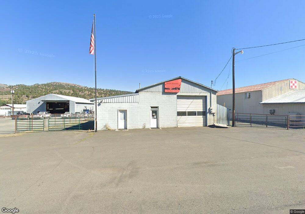
841 Highway 26 John Day, OR 97845
Estimated Value: $186,894
--
Bed
--
Bath
3,425
Sq Ft
$55/Sq Ft
Est. Value
About This Home
This home is located at 841 Highway 26, John Day, OR 97845 and is currently estimated at $186,894, approximately $54 per square foot. 841 Highway 26 is a home located in Grant County with nearby schools including Grant Union Junior/Senior High School.
Ownership History
Date
Name
Owned For
Owner Type
Purchase Details
Closed on
Apr 24, 2025
Sold by
Britton Bonnie
Bought by
Young Donald and Young Jana
Current Estimated Value
Purchase Details
Closed on
Oct 31, 2022
Sold by
Newton Hesley James
Bought by
Hesley Robert Merton and Hesley Mary Lee
Create a Home Valuation Report for This Property
The Home Valuation Report is an in-depth analysis detailing your home's value as well as a comparison with similar homes in the area
Home Values in the Area
Average Home Value in this Area
Purchase History
| Date | Buyer | Sale Price | Title Company |
|---|---|---|---|
| Young Donald | $117,847 | None Listed On Document | |
| Hesley Robert Merton | -- | -- |
Source: Public Records
Tax History Compared to Growth
Tax History
| Year | Tax Paid | Tax Assessment Tax Assessment Total Assessment is a certain percentage of the fair market value that is determined by local assessors to be the total taxable value of land and additions on the property. | Land | Improvement |
|---|---|---|---|---|
| 2024 | $2,466 | $163,181 | $53,744 | $109,437 |
| 2023 | $2,396 | $158,429 | $52,177 | $106,252 |
| 2022 | $2,328 | $153,815 | $50,658 | $103,157 |
| 2021 | $2,278 | $149,335 | $49,183 | $100,152 |
| 2020 | $2,388 | $144,986 | $47,751 | $97,235 |
| 2019 | $2,313 | $140,764 | $53,384 | $87,380 |
| 2018 | $4,849 | $136,665 | $51,829 | $84,836 |
| 2017 | $1,778 | $107,305 | $49,016 | $58,289 |
| 2016 | $1,682 | $101,442 | $47,589 | $53,853 |
| 2015 | $1,581 | $95,620 | $44,856 | $50,764 |
| 2014 | $1,581 | $95,620 | $44,856 | $50,764 |
| 2013 | $1,479 | $92,835 | $37,705 | $55,130 |
Source: Public Records
Map
Nearby Homes
- 0 E Side Ln Unit 201102803
- 0 County Rd 74b Unit 11554207
- 0 Industrial Park Rd Unit 24388826
- 0 Industrial Park Rd Unit 24404920
- 0 Industrial Park Rd Unit 220186207
- 0 Industrial Park Rd Unit 220186217
- 0 Industrial Park Rd Unit 220186224
- 111 Valley View Dr
- 229 Valley View Dr
- 27637 La Costa Ave
- 227 Valley View Dr
- 27637 La Costa Rd
- 219 Valley View Dr
- 0 W Seventh St
- 0 Industrial Park Unit 24683015
- 314 NW 3rd Ave
- 434 NW Charolais Heights
- 0 SW 4th Ave Unit 24562517
- 227 NW 2nd Ave
- 213 NW 4th Ave
- 841 Hwy 26
- 841 Highway 26
- 841 Hwy 26
- 60553 Highway 26
- 60561 Highway 26
- 60651 W Hwy 26
- 60561 W Hwy 26
- 60570 Highway 26
- 60570 U S 26
- 59831 Screech Alley Loop
- 59845 Screech Alley Loop
- 60530 Highway 26
- 59865 Screech Alley Loop
- 60596 Highway 26
- 0 Wilderness Rd Unit 220150339
- 0 Wilderness Rd Unit 22395261
- 0 Wilderness Rd
- 59877 Screech Alley Loop
- 401 Apple Rd
- 60598 Highway 26