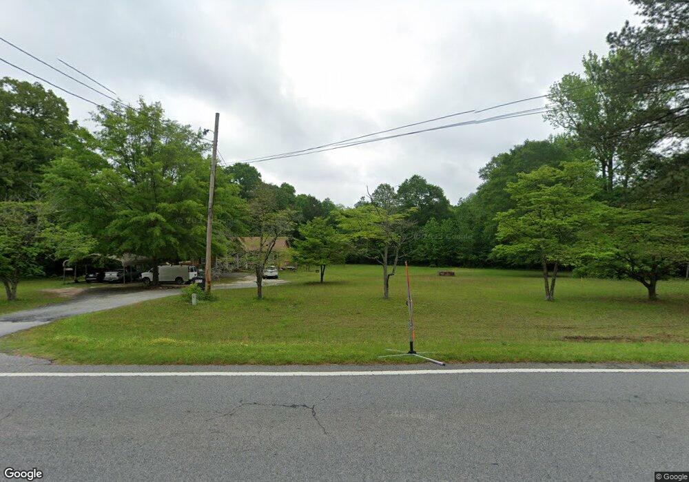
841 Highway 92 N Fayetteville, GA 30214
Estimated Value: $315,000 - $409,000
--
Bed
2
Baths
1,380
Sq Ft
$261/Sq Ft
Est. Value
About This Home
This home is located at 841 Highway 92 N, Fayetteville, GA 30214 and is currently estimated at $359,980, approximately $260 per square foot. 841 Highway 92 N is a home located in Fayette County with nearby schools including Bennett's Mill Middle School, Fayette County High School, and The Forest School: An Acton Academy.
Ownership History
Date
Name
Owned For
Owner Type
Purchase Details
Closed on
Jul 31, 2000
Sold by
Emmanuel Lewis Entertainment Ent
Bought by
Serrano Angel R and Serrano Moserate
Current Estimated Value
Home Financials for this Owner
Home Financials are based on the most recent Mortgage that was taken out on this home.
Original Mortgage
$109,785
Outstanding Balance
$39,526
Interest Rate
8.12%
Mortgage Type
New Conventional
Estimated Equity
$320,454
Create a Home Valuation Report for This Property
The Home Valuation Report is an in-depth analysis detailing your home's value as well as a comparison with similar homes in the area
Home Values in the Area
Average Home Value in this Area
Purchase History
| Date | Buyer | Sale Price | Title Company |
|---|---|---|---|
| Serrano Angel R | $110,700 | -- |
Source: Public Records
Mortgage History
| Date | Status | Borrower | Loan Amount |
|---|---|---|---|
| Open | Serrano Angel R | $109,785 |
Source: Public Records
Tax History Compared to Growth
Tax History
| Year | Tax Paid | Tax Assessment Tax Assessment Total Assessment is a certain percentage of the fair market value that is determined by local assessors to be the total taxable value of land and additions on the property. | Land | Improvement |
|---|---|---|---|---|
| 2024 | $2,195 | $122,680 | $45,816 | $76,864 |
| 2023 | $2,195 | $112,208 | $39,128 | $73,080 |
| 2022 | $2,054 | $102,876 | $33,556 | $69,320 |
| 2021 | $1,884 | $84,068 | $30,268 | $53,800 |
| 2020 | $2,116 | $77,428 | $30,268 | $47,160 |
| 2019 | $2,089 | $75,668 | $30,268 | $45,400 |
| 2018 | $1,871 | $67,320 | $26,320 | $41,000 |
| 2017 | $1,654 | $59,600 | $24,680 | $34,920 |
| 2016 | $1,563 | $55,320 | $24,680 | $30,640 |
| 2015 | $1,499 | $52,240 | $24,680 | $27,560 |
| 2014 | $1,420 | $48,800 | $24,680 | $24,120 |
| 2013 | -- | $46,920 | $0 | $0 |
Source: Public Records
Map
Nearby Homes
- 0 Highway 92 N Unit 10594507
- 0 Highway 92 N Unit 7570733
- 145 Woodsong Dr
- 671 Ginger Cake Rd
- 636 Ginger Cake Rd
- 220 Eastmark Way
- 550 Ginger Cake Rd
- 190 Rolison Way
- 615 New Hope Rd
- 615 New Hope Rd Unit NO SUBDIVISION
- 140 Rolison Way
- 150 Rolison Way
- 235 Rolison Way
- 170 Liberty Dr
- 150 Reese St
- 140 Bartow St Unit LOT 4
- 130 Bartow St Unit LOT 3
- 115 Westside Way
- 234 Stanley Rd
- E OF 118 Stanley Rd
- 821 Highway 92 N
- 834 Highway 92 N
- 852 Highway 92 N
- 0 Highway 92 N Unit 8395725
- 0 Highway 92 N Unit 8239054
- 0 Highway 92 N Unit 7170445
- 0 Highway 92 N Unit 7260777
- 0 Highway 92 N Unit 1 7451813
- 0 Highway 92 N Unit 1 7451796
- 0 Highway 92 N Unit 7593121
- 0 Highway 92 N Unit TRACT 2 7593043
- 0 Highway 92 N Unit TRACT 1 7592974
- 0 Highway 92 N Unit 50ac 8135360
- 0 N Highway 92 N Unit 8144628
- 0 Highway 92 N Unit 5551218
- 0 Highway 92 N Unit 10594504
- 0 Highway 92 N Unit 10515515
- 0 Highway 92 N Unit 10449831
- 0 Highway 92 N Unit 7513603
- 0 Highway 92 N Unit 10228183