841 Knight Rd Rockmart, GA 30153
Estimated Value: $359,000 - $461,828
3
Beds
2
Baths
2,178
Sq Ft
$190/Sq Ft
Est. Value
About This Home
This home is located at 841 Knight Rd, Rockmart, GA 30153 and is currently estimated at $412,943, approximately $189 per square foot. 841 Knight Rd is a home located in Polk County.
Ownership History
Date
Name
Owned For
Owner Type
Purchase Details
Closed on
Mar 7, 1995
Sold by
Evans James T and Evans Beverly G
Bought by
Morris Ralph C and Joint Laurie S
Current Estimated Value
Purchase Details
Closed on
May 15, 1992
Sold by
Cunningham M D
Bought by
Evans James T and Evans Beverly G
Purchase Details
Closed on
Oct 31, 1977
Sold by
Crabb Tommy R
Bought by
Cunningham M D
Purchase Details
Closed on
Dec 5, 1975
Bought by
Crabb Tommy R
Purchase Details
Closed on
Jan 15, 1972
Sold by
Atkins Wesley
Bought by
Crabb Tommy E
Purchase Details
Closed on
Jun 17, 1966
Sold by
Wright Jack Coleman
Bought by
Atkins Wesley
Purchase Details
Closed on
Sep 18, 1965
Sold by
Spinks Hugh R
Purchase Details
Closed on
Sep 3, 1963
Sold by
Moore Hugh J
Bought by
Spinks Hugh R
Purchase Details
Closed on
Aug 8, 1946
Bought by
Moore Hugh J
Create a Home Valuation Report for This Property
The Home Valuation Report is an in-depth analysis detailing your home's value as well as a comparison with similar homes in the area
Home Values in the Area
Average Home Value in this Area
Purchase History
| Date | Buyer | Sale Price | Title Company |
|---|---|---|---|
| Morris Ralph C | $171,000 | -- | |
| Evans James T | $114,000 | -- | |
| Cunningham M D | -- | -- | |
| Crabb Tommy R | -- | -- | |
| Crabb Tommy E | -- | -- | |
| Atkins Wesley | -- | -- | |
| -- | -- | -- | |
| Spinks Hugh R | -- | -- | |
| Moore Hugh J | -- | -- |
Source: Public Records
Tax History Compared to Growth
Tax History
| Year | Tax Paid | Tax Assessment Tax Assessment Total Assessment is a certain percentage of the fair market value that is determined by local assessors to be the total taxable value of land and additions on the property. | Land | Improvement |
|---|---|---|---|---|
| 2024 | $2,204 | $120,170 | $67,910 | $52,260 |
| 2023 | $2,127 | $103,018 | $67,910 | $35,108 |
| 2022 | $1,818 | $89,989 | $59,156 | $30,833 |
| 2021 | $1,841 | $89,989 | $59,156 | $30,833 |
| 2020 | $1,845 | $89,989 | $59,156 | $30,833 |
| 2019 | $2,000 | $87,787 | $53,430 | $34,357 |
| 2018 | $2,029 | $86,960 | $53,430 | $33,530 |
| 2017 | $2,312 | $86,960 | $53,430 | $33,530 |
| 2016 | $1,893 | $71,552 | $38,022 | $33,530 |
| 2015 | $1,177 | $71,439 | $38,022 | $33,417 |
| 2014 | $1,176 | $71,439 | $38,022 | $33,417 |
Source: Public Records
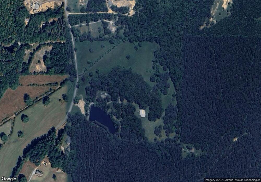
Map
Nearby Homes
- 394 Knight Rd
- 1195 Grady Rd
- 1504 Grady Rd
- 440 Mcbride Rd
- 0 Everett Mtn Rd
- 1157 Stringer Rd
- 600 Grady Rd
- 0 Runyon Loop Unit 7650113
- 0 Runyon Loop Unit 10606366
- 1168 Campbell Rd
- 1907 Old Cedartown Rd
- 3825 Rockmart Hwy
- 2020 Old Cedartown Rd
- 0 Hightower Rd Unit 7633002
- 0 Hightower Rd Unit 10584778
- 0 Hightower Rd Unit 7632982
- 0 Hightower Rd Unit 10584768
- 94 Wimberly Hill Loop
- 332 Stringer Rd
- 1039 Old Cedartown Rd