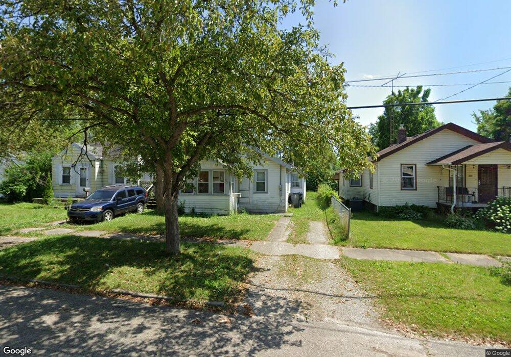
841 Major St Flint, MI 48507
South Side NeighborhoodEstimated Value: $39,000 - $50,000
2
Beds
1
Bath
702
Sq Ft
$65/Sq Ft
Est. Value
About This Home
This home is located at 841 Major St, Flint, MI 48507 and is currently estimated at $45,476, approximately $64 per square foot. 841 Major St is a home located in Genesee County with nearby schools including Neithercut Elementary School, Flint Southwestern Classical Academy, and International Academy of Flint (K-12).
Ownership History
Date
Name
Owned For
Owner Type
Purchase Details
Closed on
Jun 3, 2022
Sold by
Mccarley James D and Mccarley Darby E
Bought by
Rr 841 Major Llc
Current Estimated Value
Purchase Details
Closed on
Dec 18, 2017
Sold by
Mccarley James D and Maynard Linda J
Bought by
Mccarley James D and Mccarley Darby E
Purchase Details
Closed on
Oct 23, 2013
Sold by
Mccarley William A and Mccarley James D
Bought by
Mccarley William A and Mccarley James D
Purchase Details
Closed on
Mar 1, 2011
Sold by
Mccarley William A
Bought by
Mccarley William A and Mccarley James D
Create a Home Valuation Report for This Property
The Home Valuation Report is an in-depth analysis detailing your home's value as well as a comparison with similar homes in the area
Home Values in the Area
Average Home Value in this Area
Purchase History
| Date | Buyer | Sale Price | Title Company |
|---|---|---|---|
| Rr 841 Major Llc | $20,000 | Sargents Title | |
| Mccarley James D | -- | None Available | |
| Mccarley William A | -- | None Available | |
| Mccarley William A | -- | None Available |
Source: Public Records
Tax History Compared to Growth
Tax History
| Year | Tax Paid | Tax Assessment Tax Assessment Total Assessment is a certain percentage of the fair market value that is determined by local assessors to be the total taxable value of land and additions on the property. | Land | Improvement |
|---|---|---|---|---|
| 2025 | $1,143 | $17,200 | $0 | $0 |
| 2024 | $1,059 | $14,900 | $0 | $0 |
| 2023 | $1,035 | $11,700 | $0 | $0 |
| 2022 | $0 | $10,900 | $0 | $0 |
| 2021 | $704 | $9,400 | $0 | $0 |
| 2020 | $657 | $7,600 | $0 | $0 |
| 2019 | $649 | $6,900 | $0 | $0 |
| 2018 | $619 | $5,700 | $0 | $0 |
| 2017 | $625 | $0 | $0 | $0 |
| 2016 | $621 | $0 | $0 | $0 |
| 2015 | -- | $0 | $0 | $0 |
| 2014 | -- | $0 | $0 | $0 |
| 2012 | -- | $7,800 | $0 | $0 |
Source: Public Records
Map
Nearby Homes
- 829 Clinton St
- 4418 Brunswick Ave
- 805 Alvord Ave
- 845 Alvord Ave
- 818 Alvord Ave
- 652 Huron St
- 647 Crawford St
- 1015 Alvord Ave
- 1031 Ingleside Ave
- 1186 E Decamp St
- 1183 Norton St
- 1039 Markham St
- 1230 E Decamp St
- 1122 Markham St
- 1219 Norton St
- 1151 Wells St
- 3322 Fenton Rd
- 822 Campbell St
- 631 Campbell St
- 627 Campbell St