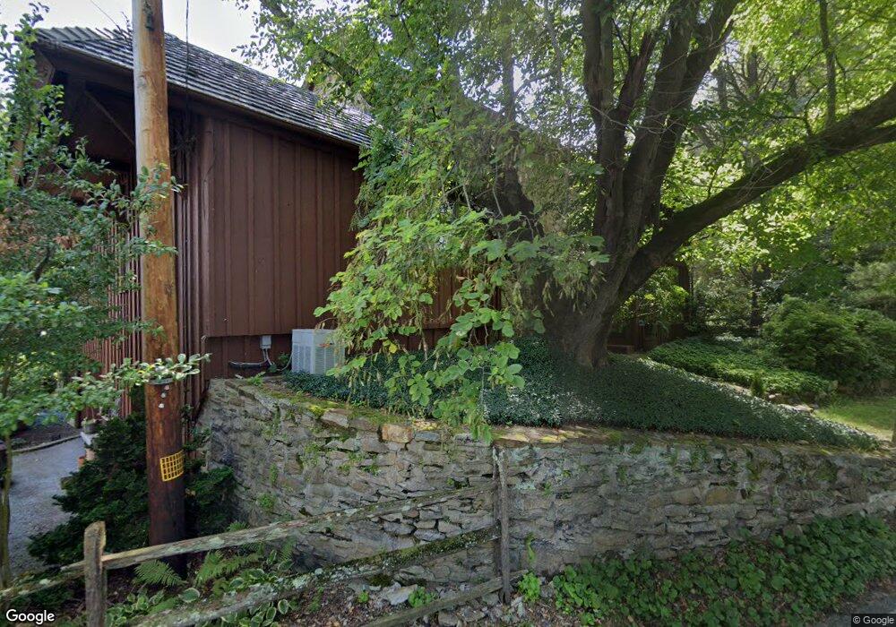
841 N Milford Rd Downingtown, PA 19335
Eagleview NeighborhoodEstimated Value: $1,131,000 - $1,384,540
4
Beds
5
Baths
6,360
Sq Ft
$195/Sq Ft
Est. Value
About This Home
This home is located at 841 N Milford Rd, Downingtown, PA 19335 and is currently estimated at $1,237,385, approximately $194 per square foot. 841 N Milford Rd is a home located in Chester County with nearby schools including Uwchlan Hills El School, Lionville Middle School, and Downingtown High School East.
Ownership History
Date
Name
Owned For
Owner Type
Purchase Details
Closed on
Jan 21, 2011
Sold by
Buckley C Barry and Grant Walter W
Bought by
Leandri David J and Leandri Susan L
Current Estimated Value
Home Financials for this Owner
Home Financials are based on the most recent Mortgage that was taken out on this home.
Original Mortgage
$210,000
Outstanding Balance
$143,854
Interest Rate
4.88%
Mortgage Type
New Conventional
Estimated Equity
$1,093,531
Create a Home Valuation Report for This Property
The Home Valuation Report is an in-depth analysis detailing your home's value as well as a comparison with similar homes in the area
Home Values in the Area
Average Home Value in this Area
Purchase History
| Date | Buyer | Sale Price | Title Company |
|---|---|---|---|
| Leandri David J | $590,000 | Security Search & Abstract C |
Source: Public Records
Mortgage History
| Date | Status | Borrower | Loan Amount |
|---|---|---|---|
| Open | Leandri David J | $210,000 |
Source: Public Records
Tax History Compared to Growth
Tax History
| Year | Tax Paid | Tax Assessment Tax Assessment Total Assessment is a certain percentage of the fair market value that is determined by local assessors to be the total taxable value of land and additions on the property. | Land | Improvement |
|---|---|---|---|---|
| 2025 | $11,309 | $330,400 | $130,150 | $200,250 |
| 2024 | $11,309 | $330,400 | $130,150 | $200,250 |
| 2023 | $10,979 | $330,400 | $130,150 | $200,250 |
| 2022 | $10,704 | $330,400 | $130,150 | $200,250 |
| 2021 | $10,524 | $330,400 | $130,150 | $200,250 |
| 2020 | $10,464 | $330,400 | $130,150 | $200,250 |
| 2019 | $10,464 | $330,400 | $130,150 | $200,250 |
| 2018 | $10,464 | $330,400 | $130,150 | $200,250 |
| 2017 | $10,464 | $330,400 | $130,150 | $200,250 |
| 2016 | $15,461 | $330,400 | $130,150 | $200,250 |
| 2015 | $15,461 | $330,400 | $130,150 | $200,250 |
| 2014 | $15,461 | $330,400 | $130,150 | $200,250 |
Source: Public Records
Map
Nearby Homes
- 800 Dowlin Forge Rd
- 602 Wexford Ave
- 1506 Cricket Ln
- 574 Gramercy Ln Unit 32
- 637 Huntington Dr
- 509 Ferncastle Dr
- 502 Langford Dr
- 104 Bill of Rights Ln
- 111 Conreys Way
- 223 Warren Ct
- 475 Shelmire Rd
- 3 Dowlin Forge Rd
- 281 Woodland Dr
- 109 Driftwood Ln
- 75 Pottstown Pike
- 526 Larkins Bridge Dr
- 406 Harbour Ridge Ln
- 59 Lila Ln
- 530 Park Rd
- 164 Byers Rd
- 840 N Milford Rd
- 624 Perimeter Dr
- 622 Perimeter Dr
- 626 Perimeter Dr
- 620 Perimeter Dr
- 618 Perimeter Dr
- 628 Perimeter Dr
- 623 Perimeter Dr
- 627 Perimeter Dr
- 619 Perimeter Dr
- 616 Perimeter Dr
- 630 Perimeter Dr
- 602 Oneida Ln
- 614 Perimeter Dr
- 631 Perimeter Dr
- 604 Oneida Ln
- 825 N Milford Rd
- 615 Portland Dr
- 632 Perimeter Dr
- 600 Oneida Ln