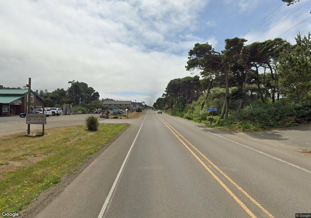
841 N Slow Rd Seal Rock, OR 97376
Estimated Value: $471,000 - $578,000
2
Beds
1
Bath
1,512
Sq Ft
$343/Sq Ft
Est. Value
About This Home
This home is located at 841 N Slow Rd, Seal Rock, OR 97376 and is currently estimated at $518,696, approximately $343 per square foot. 841 N Slow Rd is a home located in Lincoln County with nearby schools including Crestview Heights School and Waldport High and Middle School.
Ownership History
Date
Name
Owned For
Owner Type
Purchase Details
Closed on
Jan 13, 2025
Sold by
Boone Ogden
Bought by
Montoya Elizabeth
Current Estimated Value
Purchase Details
Closed on
Nov 9, 2020
Sold by
Montoya Elizabeth D and Ogden Boone V
Bought by
Ogden Boone V and Ogden Elizabeth D
Home Financials for this Owner
Home Financials are based on the most recent Mortgage that was taken out on this home.
Original Mortgage
$205,400
Interest Rate
2.8%
Mortgage Type
New Conventional
Purchase Details
Closed on
Nov 12, 2013
Sold by
Snyder David E and Marshall Melita E
Bought by
Ogden Boone and Montoya Elizabeth D
Home Financials for this Owner
Home Financials are based on the most recent Mortgage that was taken out on this home.
Original Mortgage
$205,000
Interest Rate
4.18%
Mortgage Type
Seller Take Back
Create a Home Valuation Report for This Property
The Home Valuation Report is an in-depth analysis detailing your home's value as well as a comparison with similar homes in the area
Home Values in the Area
Average Home Value in this Area
Purchase History
| Date | Buyer | Sale Price | Title Company |
|---|---|---|---|
| Montoya Elizabeth | -- | None Listed On Document | |
| Ogden Boone V | -- | Western Title | |
| Ogden Boone | $225,000 | Stewart Title |
Source: Public Records
Mortgage History
| Date | Status | Borrower | Loan Amount |
|---|---|---|---|
| Previous Owner | Ogden Boone V | $205,400 | |
| Previous Owner | Ogden Boone | $205,000 |
Source: Public Records
Tax History Compared to Growth
Tax History
| Year | Tax Paid | Tax Assessment Tax Assessment Total Assessment is a certain percentage of the fair market value that is determined by local assessors to be the total taxable value of land and additions on the property. | Land | Improvement |
|---|---|---|---|---|
| 2024 | $3,270 | $262,080 | -- | -- |
| 2023 | $3,175 | $254,450 | $0 | $0 |
| 2022 | $3,087 | $247,040 | $0 | $0 |
| 2021 | $3,020 | $239,850 | $0 | $0 |
| 2020 | $2,912 | $232,870 | $0 | $0 |
| 2019 | $2,846 | $226,090 | $0 | $0 |
| 2018 | $2,766 | $219,510 | $0 | $0 |
| 2017 | $2,755 | $213,120 | $0 | $0 |
| 2016 | $2,596 | $206,920 | $0 | $0 |
| 2015 | $2,343 | $200,900 | $0 | $0 |
| 2014 | $2,264 | $195,050 | $0 | $0 |
| 2013 | -- | $189,370 | $0 | $0 |
Source: Public Records
Map
Nearby Homes
- 000121129 S Beaver Creek Rd
- TL 400 N Spruceway Dr
- 0 S Beaver Creek Rd Unit 531933850
- 626 N Bayview Loop
- 590 NW Terrace St
- 5055 NW Terrace Ct
- 8790 NW Kinglet Ln
- 1092 NW Camrose Dr
- 9100 NW Jay St
- 5326 N Beaver Creek Rd
- 7088 NW Pacific Coast Hwy
- 6296 NW Pacific Coast Hwy
- 5837 N Beaver Creek Rd
- 0 N Beaver Creek Rd
- 8243 NW Coast Rd
- 32 NW Legion Rd
- 1511 NW Powe Dr
- 9166 NW Seagull Way
- 9255 NW Pacific Coast Hwy
- TL 3800 NW Sandy Dr
- 841 N South Low Rd
- 931 N S Low Rd Unit N
- 861 N S-Low Rd
- 833 N S Low Rd
- 859 N South Low Rd
- 861 N South Low Rd
- 839 N S-Low Rd
- 867 N Slow Rd
- 732 N S-Low Rd
- 732 N S Low Rd Unit N
- 745 N S Low Rd Unit N
- 837 N South Low Rd
- 837 N S-Low Rd
- 839 N South Low Rd
- 817 N South Low Rd
- 000 N South Low Rd
- 750 N S Low Rd Unit N
- 809 N S Low Rd
- 809 N S Low Rd
- 415 N S-Low Rd
