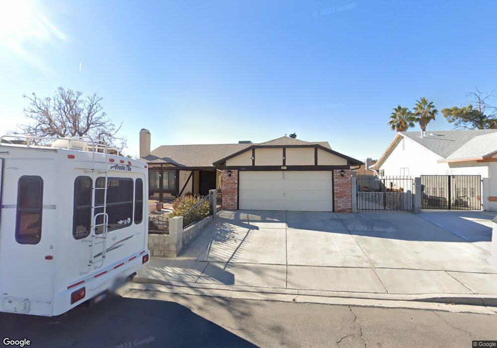
841 River Point Dr Las Vegas, NV 89110
Estimated Value: $366,000 - $454,000
4
Beds
2
Baths
1,569
Sq Ft
$264/Sq Ft
Est. Value
About This Home
This home is located at 841 River Point Dr, Las Vegas, NV 89110 and is currently estimated at $414,024, approximately $263 per square foot. 841 River Point Dr is a home located in Clark County with nearby schools including Eileen Brookman Elementary School, Dr. William H. Bailey Middle School, and Eldorado High School.
Ownership History
Date
Name
Owned For
Owner Type
Purchase Details
Closed on
Nov 26, 2010
Sold by
Carpenter Rick L and Kennedy Yvonne A
Bought by
Carpenter Rick L and Kennedy Yvonne A
Current Estimated Value
Create a Home Valuation Report for This Property
The Home Valuation Report is an in-depth analysis detailing your home's value as well as a comparison with similar homes in the area
Home Values in the Area
Average Home Value in this Area
Purchase History
| Date | Buyer | Sale Price | Title Company |
|---|---|---|---|
| Carpenter Rick L | -- | None Available |
Source: Public Records
Tax History Compared to Growth
Tax History
| Year | Tax Paid | Tax Assessment Tax Assessment Total Assessment is a certain percentage of the fair market value that is determined by local assessors to be the total taxable value of land and additions on the property. | Land | Improvement |
|---|---|---|---|---|
| 2025 | $957 | $74,440 | $30,800 | $43,640 |
| 2024 | $1,021 | $74,440 | $30,800 | $43,640 |
| 2023 | $1,021 | $80,454 | $38,150 | $42,304 |
| 2022 | $992 | $64,663 | $25,550 | $39,113 |
| 2021 | $963 | $60,666 | $23,100 | $37,566 |
| 2020 | $932 | $60,556 | $23,100 | $37,456 |
| 2019 | $905 | $56,236 | $18,900 | $37,336 |
| 2018 | $878 | $51,023 | $14,700 | $36,323 |
| 2017 | $1,539 | $52,469 | $15,400 | $37,069 |
| 2016 | $833 | $48,334 | $10,500 | $37,834 |
| 2015 | $830 | $42,653 | $8,750 | $33,903 |
| 2014 | $806 | $27,776 | $7,000 | $20,776 |
Source: Public Records
Map
Nearby Homes
- 740 Santree Cir
- 6218 Sapporo Cir
- 796 Ringwood Ln
- 6235 Sapporo Cir
- 910 N Sloan Ln Unit 201
- 6030 Halehaven Dr
- 5923 Halehaven Dr
- 1083 Devon Lake St
- 563 Moon Chase St
- 6209 Exquisite Ave
- 741 Round Table Dr
- 6449 Elizabethtown Ave
- 5802 Queenstown Way
- 5717 Christchurch Ave
- 6165 Stanley Park Ave
- 1325 Fairchild St
- 1251 Los Meadows Dr
- 1286 N Sloan Ln
- 6538 Astorville Ct
- 6440 Spanish Garden Ct
- 851 River Point Dr
- 831 River Point Dr
- 842 Havencrest Dr
- 852 Havencrest Dr
- 832 Havencrest Dr
- 840 River Point Dr
- 861 River Point Dr
- 850 River Point Dr
- 830 River Point Dr
- 862 Havencrest Dr
- 860 River Point Dr
- 6089 Bridgewood Way
- 6079 Bridgewood Way
- 871 River Point Dr
- 820 River Point Dr
- 870 River Point Dr
- 6099 Bridgewood Way
- 6069 Bridgewood Way Unit 3
- 849 Cohasset St
- 839 Cohasset St