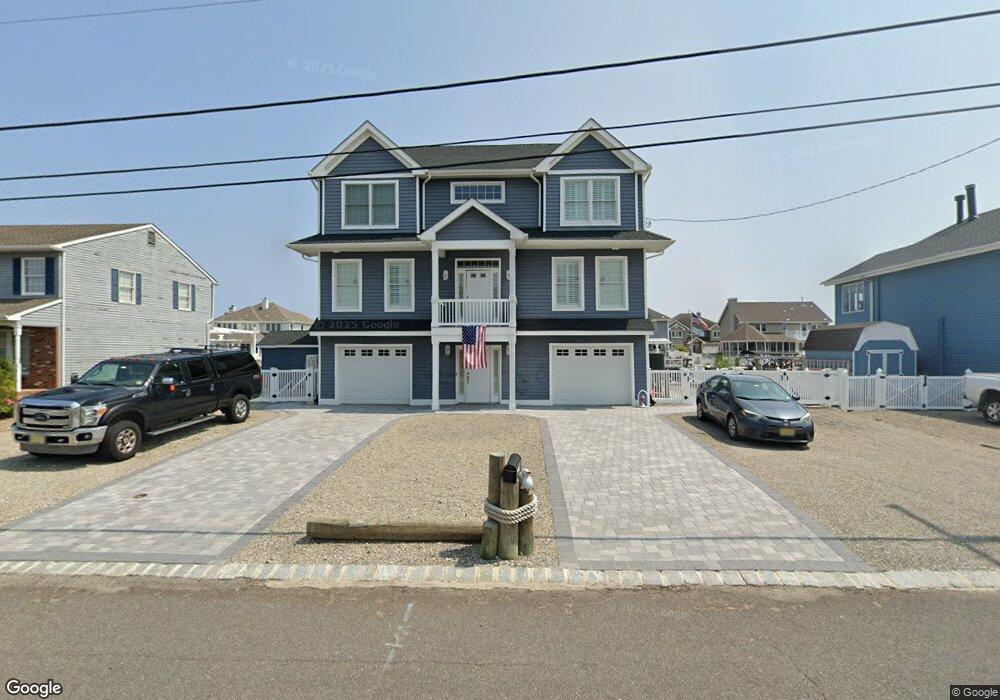
841 Spar Dr Forked River, NJ 08731
Estimated Value: $937,444 - $1,152,000
5
Beds
4
Baths
2,652
Sq Ft
$392/Sq Ft
Est. Value
About This Home
This home is located at 841 Spar Dr, Forked River, NJ 08731 and is currently estimated at $1,038,861, approximately $391 per square foot. 841 Spar Dr is a home with nearby schools including Lacey Township High School.
Ownership History
Date
Name
Owned For
Owner Type
Purchase Details
Closed on
Mar 30, 2018
Sold by
Furchak Andrew
Bought by
Exner David and Exner Cris Ann
Current Estimated Value
Purchase Details
Closed on
Feb 5, 2014
Sold by
Furchak Andrew and Furchak Arlene
Bought by
The Andrew Furchak Jr And Arlene J Furch and Furchak Arlene J
Purchase Details
Closed on
Mar 25, 2010
Sold by
Oceanfirst Bank
Bought by
Furchak Andrew and Furchak Arlene J
Purchase Details
Closed on
Feb 16, 2010
Sold by
Grogan Kenneth Sean and Grogan Staci
Bought by
Ocean First Bank
Purchase Details
Closed on
Dec 23, 2005
Sold by
Mcsherry James T and Mcsherry Susan
Bought by
Grogan Kenneth Sean
Home Financials for this Owner
Home Financials are based on the most recent Mortgage that was taken out on this home.
Original Mortgage
$375,000
Interest Rate
7.5%
Mortgage Type
Fannie Mae Freddie Mac
Create a Home Valuation Report for This Property
The Home Valuation Report is an in-depth analysis detailing your home's value as well as a comparison with similar homes in the area
Home Values in the Area
Average Home Value in this Area
Purchase History
| Date | Buyer | Sale Price | Title Company |
|---|---|---|---|
| Exner David | $260,000 | None Available | |
| The Andrew Furchak Jr And Arlene J Furch | -- | None Available | |
| Furchak Andrew | $300,000 | Ocean Title Service Inc | |
| Ocean First Bank | $140,100 | None Available | |
| Grogan Kenneth Sean | $500,000 | Transnation Title Ins Co Inc |
Source: Public Records
Mortgage History
| Date | Status | Borrower | Loan Amount |
|---|---|---|---|
| Previous Owner | Grogan Kenneth Sean | $375,000 |
Source: Public Records
Tax History
| Year | Tax Paid | Tax Assessment Tax Assessment Total Assessment is a certain percentage of the fair market value that is determined by local assessors to be the total taxable value of land and additions on the property. | Land | Improvement |
|---|---|---|---|---|
| 2025 | $13,785 | $544,000 | $260,000 | $284,000 |
| 2024 | $12,887 | $544,000 | $260,000 | $284,000 |
Source: Public Records
Map
Nearby Homes
- 814 Ensign Dr
- 986 Capstan Dr
- 1025 Capstan Dr
- 0 Windward Dr Unit NJOC2039288
- 0 Windward Dr Unit 22601526
- 915 Shenandoah Dr
- 715 Richmond Dr
- 709 Richmond Dr
- 510 Conifer Dr
- 1407 Hilo Bay Dr
- 1600 Beach Blvd
- 330 Riviera Dr
- 1609 Tamiami Rd
- 207 Sunset Dr
- 0 Union Ct Unit 22605987
- 1615 Tamiami Rd
- 1205 Niihau Dr
- 201 Nautilus Blvd
- 1029 Bowsprit Point
- 502 Teakwood Dr
Your Personal Tour Guide
Ask me questions while you tour the home.