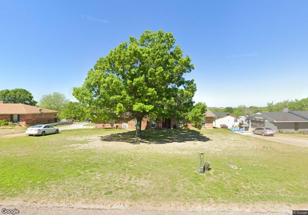
841 Tate Cir Sherman, TX 75090
Estimated Value: $432,000
Studio
2
Baths
1,741
Sq Ft
$248/Sq Ft
Est. Value
About This Home
This home is located at 841 Tate Cir, Sherman, TX 75090 and is currently estimated at $432,000, approximately $248 per square foot. 841 Tate Cir is a home located in Grayson County with nearby schools including Summit Hill Elementary School, Howe Middle School, and Howe High School.
Ownership History
Date
Name
Owned For
Owner Type
Purchase Details
Closed on
Feb 16, 2005
Sold by
Biggerstaff Jerry P and Biggerstaff Mary C
Bought by
Roper Weldon Chad and Roper Theresa Dayle
Current Estimated Value
Home Financials for this Owner
Home Financials are based on the most recent Mortgage that was taken out on this home.
Original Mortgage
$97,600
Outstanding Balance
$49,837
Interest Rate
5.82%
Mortgage Type
Purchase Money Mortgage
Estimated Equity
$382,163
Purchase Details
Closed on
May 3, 2004
Sold by
Messina Jennifer
Bought by
Biggerstaff Jerry P and Biggerstaff Mary C
Create a Home Valuation Report for This Property
The Home Valuation Report is an in-depth analysis detailing your home's value as well as a comparison with similar homes in the area
Home Values in the Area
Average Home Value in this Area
Purchase History
| Date | Buyer | Sale Price | Title Company |
|---|---|---|---|
| Roper Weldon Chad | -- | -- | |
| Biggerstaff Jerry P | -- | -- |
Source: Public Records
Mortgage History
| Date | Status | Borrower | Loan Amount |
|---|---|---|---|
| Open | Roper Weldon Chad | $97,600 | |
| Closed | Roper Weldon Chad | $12,200 |
Source: Public Records
Tax History
| Year | Tax Paid | Tax Assessment Tax Assessment Total Assessment is a certain percentage of the fair market value that is determined by local assessors to be the total taxable value of land and additions on the property. | Land | Improvement |
|---|---|---|---|---|
| 2025 | $2,565 | $279,101 | -- | -- |
| 2024 | $3,805 | $253,728 | $0 | $0 |
| 2023 | $2,221 | $230,662 | $0 | $0 |
| 2022 | $3,619 | $209,693 | $0 | $0 |
| 2021 | $3,703 | $196,694 | $33,432 | $163,262 |
| 2020 | $3,520 | $192,813 | $33,432 | $159,381 |
| 2019 | $3,426 | $188,483 | $18,480 | $170,003 |
| 2018 | $3,007 | $147,254 | $13,440 | $133,814 |
| 2017 | $2,690 | $130,203 | $13,978 | $116,225 |
| 2016 | $2,740 | $132,624 | $13,978 | $118,646 |
| 2015 | $2,197 | $103,224 | $9,912 | $93,312 |
| 2014 | $2,145 | $100,527 | $8,400 | $92,127 |
Source: Public Records
Map
Nearby Homes
- 320 Tate Cir
- TBD Lot 3 Bennett Rd
- 2554 Bennett Rd
- 57 Lonesome Dove Dr
- 341 Stark Ln
- 137 Stark Ln
- Tbd Bennett Rd
- 992 Bennett Rd
- 942 Bennett Rd
- 90 Williams Trail
- Tbd Bennett Rd
- Lot 3 TBD Harrell Rd
- 3243 Harrell Rd
- TBD Harrell Road Harrell Rd
- 00 Akers Rd
- 1187 Harrell Rd
- 502 Ponderosa Rd
- 1265 Harrell Rd
- 3028 Harrell Rd
- Tract One Ponderosa Rd
Your Personal Tour Guide
Ask me questions while you tour the home.