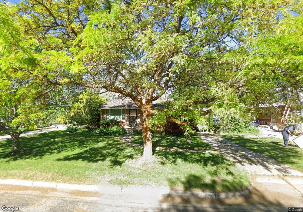
841 Taylor Ave Ogden, UT 84404
Horace Mann NeighborhoodEstimated Value: $344,912 - $367,000
About This Home
This home is located at 841 Taylor Ave, Ogden, UT 84404 and is currently estimated at $357,728, approximately $412 per square foot. 841 Taylor Ave is a home located in Weber County with nearby schools including Mound Fort Junior High School and Ben Lomond High School.
Ownership History
We collect this data history from publicly available records. To have your information removed, we recommend requesting removal directly through your county’s website.
Purchase Details
Home Financials for this Owner
Home Financials are based on the most recent Mortgage that was taken out on this home.Purchase Details
Home Values in the Area
Average Home Value in this Area
Purchase History
We collect this data history from publicly available records. To have your information removed, we recommend requesting removal directly through your county’s website.
| Date | Buyer | Sale Price | Title Company |
|---|---|---|---|
| -- | Bonneville Superior Title Co | ||
| -- | -- |
Mortgage History
We collect this data history from publicly available records. To have your information removed, we recommend requesting removal directly through your county’s website.
| Date | Status | Borrower | Loan Amount |
|---|---|---|---|
| Closed | $211,500 |
Tax History
We collect this data history from publicly available records. To have your information removed, we recommend requesting removal directly through your county’s website.
| Year | Tax Paid | Tax Assessment Tax Assessment Total Assessment is a certain percentage of the fair market value that is determined by local assessors to be the total taxable value of land and additions on the property. | Land | Improvement |
|---|---|---|---|---|
| 2025 | $2,461 | $324,742 | $125,000 | $199,742 |
| 2024 | $2,422 | $174,899 | $68,757 | $106,142 |
| 2023 | $2,382 | $174,351 | $60,418 | $113,933 |
| 2022 | $2,250 | $165,550 | $52,252 | $113,298 |
| 2021 | $2,037 | $247,000 | $60,023 | $186,977 |
| 2020 | $1,828 | $203,000 | $44,978 | $158,022 |
| 2019 | $1,779 | $185,000 | $40,055 | $144,945 |
| 2018 | $1,542 | $157,000 | $35,065 | $121,935 |
| 2017 | $1,356 | $127,000 | $32,052 | $94,948 |
| 2016 | $1,276 | $64,292 | $17,391 | $46,901 |
| 2015 | $1,191 | $58,907 | $17,391 | $41,516 |
| 2014 | $1,028 | $49,158 | $15,241 | $33,917 |
Map
- 1433 8th St
- 793 Simoron Dr
- 837 Polk Ave
- 930 Taylor Ave
- 718 Robins Ave
- 1565 E 775 S Unit 7
- 1565 E 775 S Unit 16
- 1358 Cross St
- 1348 Cross St
- 1342 Cross St
- 907 Tyler Ave
- 1473 Hudson St
- 1330 7th St
- 1568 Hudson St Unit 1
- 571 Elena Ln
- 1579 Maddies Cove
- 1578 Maddies Cove Unit 18
- 1350 Hudson St
- 1484 E 1250 S
- 1590 Maddies Cove
Ask me questions while you tour the home.