8410 Cedar Point Rd Oregon, OH 43616
Estimated Value: $179,474 - $262,000
2
Beds
1
Bath
876
Sq Ft
$271/Sq Ft
Est. Value
About This Home
This home is located at 8410 Cedar Point Rd, Oregon, OH 43616 and is currently estimated at $237,369, approximately $270 per square foot. 8410 Cedar Point Rd is a home located in Lucas County.
Ownership History
Date
Name
Owned For
Owner Type
Purchase Details
Closed on
Jul 24, 2019
Sold by
Hallowell Cindy S
Bought by
Hallowell Blake E
Current Estimated Value
Purchase Details
Closed on
Mar 10, 2010
Sold by
Hallowell Blake E and Hallowell Cindy Sue
Bought by
Hallowell Blake E and Hallowell Cindy Sue
Purchase Details
Closed on
Apr 26, 2007
Sold by
Skiver Connie Marie and Skiver Paul
Bought by
Hallowell Blake E
Home Financials for this Owner
Home Financials are based on the most recent Mortgage that was taken out on this home.
Original Mortgage
$147,250
Interest Rate
6.2%
Mortgage Type
Purchase Money Mortgage
Create a Home Valuation Report for This Property
The Home Valuation Report is an in-depth analysis detailing your home's value as well as a comparison with similar homes in the area
Purchase History
| Date | Buyer | Sale Price | Title Company |
|---|---|---|---|
| Hallowell Blake E | -- | None Listed On Document | |
| Hallowell Blake E | -- | Attorney | |
| Hallowell Blake E | $155,000 | Attorney |
Source: Public Records
Mortgage History
| Date | Status | Borrower | Loan Amount |
|---|---|---|---|
| Previous Owner | Hallowell Blake E | $147,250 |
Source: Public Records
Tax History
| Year | Tax Paid | Tax Assessment Tax Assessment Total Assessment is a certain percentage of the fair market value that is determined by local assessors to be the total taxable value of land and additions on the property. | Land | Improvement |
|---|---|---|---|---|
| 2025 | -- | $49,070 | $15,505 | $33,565 |
| 2024 | $1,425 | $49,070 | $15,505 | $33,565 |
| 2023 | $3,332 | $50,120 | $14,245 | $35,875 |
| 2022 | $3,322 | $50,120 | $14,245 | $35,875 |
| 2021 | $3,341 | $50,120 | $14,245 | $35,875 |
| 2020 | $3,032 | $41,825 | $11,795 | $30,030 |
| 2019 | $2,892 | $41,825 | $11,795 | $30,030 |
| 2018 | $2,783 | $41,825 | $11,795 | $30,030 |
| 2017 | $2,732 | $37,380 | $5,845 | $31,535 |
| 2016 | $2,700 | $106,800 | $16,700 | $90,100 |
| 2015 | $2,684 | $106,800 | $16,700 | $90,100 |
| 2014 | $2,494 | $37,390 | $5,850 | $31,540 |
| 2013 | $2,494 | $37,390 | $5,850 | $31,540 |
Source: Public Records
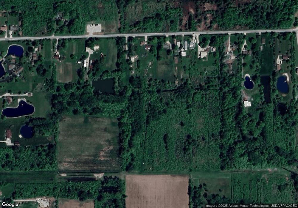
Map
Nearby Homes
- 8246 Cedar Point Rd
- 1031 N Cousino Rd
- 9015 Seaman Rd
- 7330 Jerusalem Rd
- 6028 Bayshore Rd
- 1944 Ashcroft Dr
- 5914 Kacy Ln
- 5882 Kacy Ln
- 1561 N Stadium Rd
- 455 Cody
- 454 Cody Dr
- 5560 Eagles Landing Dr
- 5524 Eagles Landing Dr
- 5281 Eagles Landing Dr
- 5313 Eagles Landing Dr
- 5548 Eagles Landing Dr
- 5514 Eagles Landing Dr
- 549 Beachview Rd
- 645 Clubhouse Rd
- 5415 Seaman Rd
- 8430 Cedar Point Rd
- 8534 Cedar Point Rd
- 8404 Cedar Point Rd
- 8614 Cedar Point Rd
- 8456 Cedar Point Rd
- 8620 Cedar Point Rd
- 8504 Cedar Point Rd
- 8344 Cedar Point Rd
- 8520 Cedar Point Rd
- 8330 Cedar Point Rd
- 8542 Cedar Point Rd
- 8321 Cedar Point Rd
- 8304 Cedar Point Rd
- 8570 Cedar Point Rd
- 8720 Cedar Point Rd
- 8640 Cedar Point Rd
- 8230 Cedar Point Rd
- 8223 Cedar Point Rd
- 8750 Cedar Point Rd
- 8219 Cedar Point Rd
Your Personal Tour Guide
Ask me questions while you tour the home.