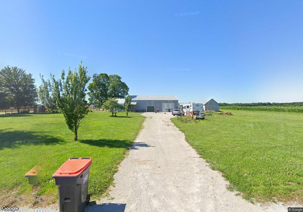
8416 Locust Rd Carthage, MO 64836
Estimated Value: $121,000 - $199,000
Studio
--
Bath
1,476
Sq Ft
$104/Sq Ft
Est. Value
About This Home
This home is located at 8416 Locust Rd, Carthage, MO 64836 and is currently estimated at $153,230, approximately $103 per square foot. 8416 Locust Rd is a home with nearby schools including Avilla Elementary School.
Ownership History
Date
Name
Owned For
Owner Type
Purchase Details
Closed on
Sep 20, 2019
Sold by
Evans Lonnie D and Evans Sherry L
Bought by
J Hal Andrews T
Current Estimated Value
Purchase Details
Closed on
Jun 15, 2009
Sold by
Andrews J Hal
Bought by
Evans Lonnie Dale and Evans Sherry Lynn
Home Financials for this Owner
Home Financials are based on the most recent Mortgage that was taken out on this home.
Original Mortgage
$80,000
Interest Rate
4.7%
Mortgage Type
Seller Take Back
Create a Home Valuation Report for This Property
The Home Valuation Report is an in-depth analysis detailing your home's value as well as a comparison with similar homes in the area
Purchase History
| Date | Buyer | Sale Price | Title Company |
|---|---|---|---|
| J Hal Andrews T | -- | -- | |
| Evans Lonnie Dale | -- | Abbey |
Source: Public Records
Mortgage History
| Date | Status | Borrower | Loan Amount |
|---|---|---|---|
| Previous Owner | Evans Lonnie Dale | $80,000 |
Source: Public Records
Tax History
| Year | Tax Paid | Tax Assessment Tax Assessment Total Assessment is a certain percentage of the fair market value that is determined by local assessors to be the total taxable value of land and additions on the property. | Land | Improvement |
|---|---|---|---|---|
| 2025 | $593 | $14,750 | $1,910 | $12,840 |
| 2024 | $593 | $13,690 | $1,910 | $11,780 |
| 2023 | $593 | $13,690 | $1,910 | $11,780 |
| 2022 | $476 | $11,280 | $1,910 | $9,370 |
| 2021 | $475 | $11,280 | $1,910 | $9,370 |
| 2020 | $466 | $10,650 | $1,910 | $8,740 |
| 2019 | $210 | $4,780 | $1,400 | $3,380 |
| 2018 | $610 | $13,940 | $0 | $0 |
| 2017 | $612 | $13,940 | $0 | $0 |
| 2016 | $610 | $13,940 | $0 | $0 |
Source: Public Records
Map
Nearby Homes
- 13397 County Road 70
- 10450 County Road 100
- 7686 State Highway 96
- 9895 County Lane 93
- TBD County Road 60 Unit 10601400000001000
- TBD County Road 60
- 10573 County Road 110
- 9625 Ivy Rd
- 7433 Oak Rd
- 15785 Maple Rd
- 9853 County Road 118
- 10327 County Road 120
- 9599 County Road 118
- TBD Harmony Rd
- 15322 Cr-90
- 9609 Base Line Blvd
- 10855 County Ln 133
- 7777 Cr-110
- 13374 Kafir Rd
- 13825 Jasmine Loop
Your Personal Tour Guide
Ask me questions while you tour the home.