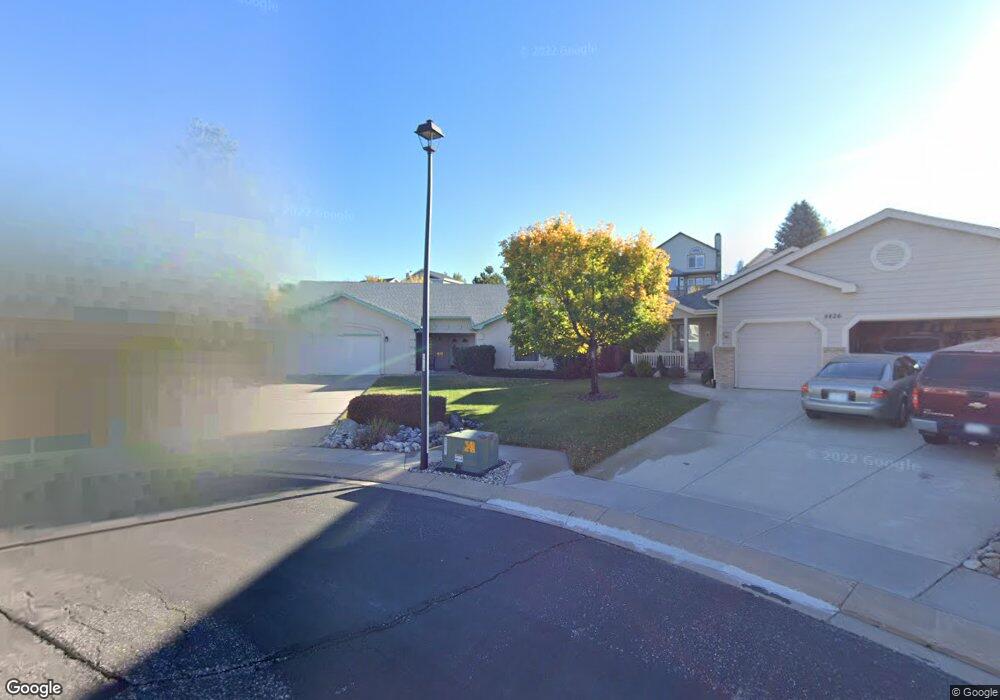
8418 Winncrest Ln Colorado Springs, CO 80920
Briargate NeighborhoodEstimated Value: $515,794 - $573,000
3
Beds
2
Baths
1,894
Sq Ft
$287/Sq Ft
Est. Value
About This Home
This home is located at 8418 Winncrest Ln, Colorado Springs, CO 80920 and is currently estimated at $542,949, approximately $286 per square foot. 8418 Winncrest Ln is a home located in El Paso County with nearby schools including Explorer Elementary School, Timberview Middle School, and Liberty High School.
Ownership History
Date
Name
Owned For
Owner Type
Purchase Details
Closed on
Dec 21, 1996
Sold by
Sunnyslope Development Co
Bought by
Shepherd Mark E and Shepherd Patricia I
Current Estimated Value
Home Financials for this Owner
Home Financials are based on the most recent Mortgage that was taken out on this home.
Original Mortgage
$156,580
Interest Rate
7.6%
Purchase Details
Closed on
Jul 24, 1996
Sold by
Lp47 Llc
Bought by
Sunnyslope Development Co
Home Financials for this Owner
Home Financials are based on the most recent Mortgage that was taken out on this home.
Original Mortgage
$156,800
Interest Rate
8.41%
Mortgage Type
Construction
Purchase Details
Closed on
Sep 24, 1992
Bought by
Shepherd Mark E and Shepherd Patricia I
Create a Home Valuation Report for This Property
The Home Valuation Report is an in-depth analysis detailing your home's value as well as a comparison with similar homes in the area
Home Values in the Area
Average Home Value in this Area
Purchase History
| Date | Buyer | Sale Price | Title Company |
|---|---|---|---|
| Shepherd Mark E | $195,725 | Commonwealth Land Title | |
| Sunnyslope Development Co | $31,000 | Land Title | |
| Shepherd Mark E | -- | -- |
Source: Public Records
Mortgage History
| Date | Status | Borrower | Loan Amount |
|---|---|---|---|
| Closed | Shepherd Mark E | $156,580 | |
| Previous Owner | Sunnyslope Development Co | $156,800 |
Source: Public Records
Tax History Compared to Growth
Tax History
| Year | Tax Paid | Tax Assessment Tax Assessment Total Assessment is a certain percentage of the fair market value that is determined by local assessors to be the total taxable value of land and additions on the property. | Land | Improvement |
|---|---|---|---|---|
| 2025 | $2,132 | $35,850 | -- | -- |
| 2024 | $2,096 | $36,970 | $6,700 | $30,270 |
| 2023 | $2,096 | $36,970 | $6,700 | $30,270 |
| 2022 | $1,797 | $25,460 | $5,420 | $20,040 |
| 2021 | $1,988 | $26,200 | $5,580 | $20,620 |
| 2020 | $1,940 | $23,840 | $4,650 | $19,190 |
| 2019 | $1,921 | $23,840 | $4,650 | $19,190 |
| 2018 | $1,526 | $18,630 | $3,600 | $15,030 |
| 2017 | $1,521 | $18,630 | $3,600 | $15,030 |
| 2016 | $1,531 | $18,730 | $3,660 | $15,070 |
| 2015 | $1,528 | $18,730 | $3,660 | $15,070 |
| 2014 | $1,443 | $17,670 | $3,660 | $14,010 |
Source: Public Records
Map
Nearby Homes
- 8112 Old Exchange Dr
- 3746 St Simons Ct
- 3471 Plantation Grove
- 3830 Cottage Dr
- 9045 Aldersgate Ct
- 8735 Quail Glen Dr
- 9075 Bellcove Cir
- 3690 Amelia Island St
- 8213 Caravel Dr
- 8845 Nantucket Ct
- 8935 Coberdale Ct
- 4030 Thundercloud Dr
- 8674 Bellcove Cir
- 4145 Thundercloud Dr
- 3925 Zurich Dr
- 8118 Ravenel Dr
- 8184 Brigantine Dr
- 8261 Cooper River Dr
- 8020 Cooper River Dr
- 3279 Greenmoor Ct
- 8410 Winncrest Ln
- 8426 Winncrest Ln
- 3367 Birnamwood Dr
- 3361 Birnamwood Dr
- 3355 Birnamwood Dr
- 3415 Brompton Ct
- 3373 Birnamwood Dr
- 8434 Winncrest Ln
- 8402 Winncrest Ln
- 3349 Birnamwood Dr
- 3425 Brompton Ct
- 3343 Birnamwood Dr
- 8442 Winncrest Ln
- 3405 Brompton Ct
- 3379 Birnamwood Dr
- 3337 Birnamwood Dr
- 8450 Winncrest Ln
- 3350 Birnamwood Dr
- 3385 Birnamwood Dr
- 3430 Brompton Ct