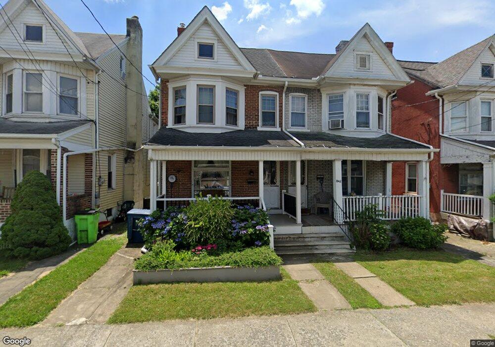
842 Chestnut St Emmaus, PA 18049
Estimated Value: $238,000 - $259,000
3
Beds
1
Bath
1,558
Sq Ft
$160/Sq Ft
Est. Value
About This Home
This home is located at 842 Chestnut St, Emmaus, PA 18049 and is currently estimated at $248,834, approximately $159 per square foot. 842 Chestnut St is a home located in Lehigh County with nearby schools including Jefferson Elementary School, Lower Macungie Middle School, and Emmaus High School.
Ownership History
Date
Name
Owned For
Owner Type
Purchase Details
Closed on
May 31, 2002
Sold by
Pudliner Kelly Y
Bought by
Catalini Joseph A and Catalini Kenda P
Current Estimated Value
Home Financials for this Owner
Home Financials are based on the most recent Mortgage that was taken out on this home.
Original Mortgage
$70,948
Outstanding Balance
$30,401
Interest Rate
7%
Mortgage Type
FHA
Estimated Equity
$218,433
Purchase Details
Closed on
Apr 8, 1993
Sold by
Stratz Rosa
Bought by
Pudliner Brian G and Pudliner Kelly Y
Create a Home Valuation Report for This Property
The Home Valuation Report is an in-depth analysis detailing your home's value as well as a comparison with similar homes in the area
Home Values in the Area
Average Home Value in this Area
Purchase History
| Date | Buyer | Sale Price | Title Company |
|---|---|---|---|
| Catalini Joseph A | $79,900 | -- | |
| Pudliner Brian G | $74,500 | -- |
Source: Public Records
Mortgage History
| Date | Status | Borrower | Loan Amount |
|---|---|---|---|
| Open | Catalini Joseph A | $70,948 |
Source: Public Records
Tax History Compared to Growth
Tax History
| Year | Tax Paid | Tax Assessment Tax Assessment Total Assessment is a certain percentage of the fair market value that is determined by local assessors to be the total taxable value of land and additions on the property. | Land | Improvement |
|---|---|---|---|---|
| 2025 | $4,255 | $120,800 | $10,900 | $109,900 |
| 2024 | $3,898 | $120,800 | $10,900 | $109,900 |
| 2023 | $3,822 | $120,800 | $10,900 | $109,900 |
| 2022 | $3,696 | $120,800 | $109,900 | $10,900 |
| 2021 | $3,603 | $120,800 | $10,900 | $109,900 |
| 2020 | $3,572 | $120,800 | $10,900 | $109,900 |
| 2019 | $3,477 | $120,800 | $10,900 | $109,900 |
| 2018 | $3,346 | $120,800 | $10,900 | $109,900 |
| 2017 | $3,243 | $120,800 | $10,900 | $109,900 |
| 2016 | -- | $120,800 | $10,900 | $109,900 |
| 2015 | -- | $120,800 | $10,900 | $109,900 |
| 2014 | -- | $120,800 | $10,900 | $109,900 |
Source: Public Records
Map
Nearby Homes
- 657 Walnut St
- 659 Broad St
- 618 Broad St
- 4109 Eveningstar Rd
- 3430 Gentlewind Way Unit IC 109
- 569 Chestnut St Unit 571
- 339 Delong Ave Unit 343
- 543 Long St
- 4088 Eveningstar Rd
- 521 Wood St
- 97 Chestnut Hill Rd
- 3623 Daylily Dr
- 120 N 2nd St
- 118 N 2nd St
- 3810 Allen St
- 3186 Overlook Dr
- 4160 Newport Dr
- 3703 Samantha Ln Unit Lot 70
- 3736 Samantha Ln Unit Lot 7
- 3748 Samantha Ln
- 840 Chestnut St
- 844 Chestnut St
- 838 Chestnut St
- 846 Chestnut St Unit 850
- 834 Chestnut St Unit 836
- 830 Chestnut St Unit 832
- 828 Chestnut St
- 826 Chestnut St
- 902 Chestnut St Unit 904
- 824 Chestnut St
- 841 Chestnut St
- 839 Chestnut St
- 843 Chestnut St
- 822 Chestnut St
- 837 Chestnut St
- 845 Chestnut St
- 847 Chestnut St
- 906 Chestnut St
- 833 Chestnut St Unit 835
- 849 Chestnut St