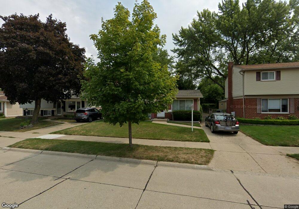
842 Curtis Ave Clawson, MI 48017
Estimated Value: $323,533 - $346,000
3
Beds
2
Baths
1,465
Sq Ft
$229/Sq Ft
Est. Value
About This Home
This home is located at 842 Curtis Ave, Clawson, MI 48017 and is currently estimated at $334,883, approximately $228 per square foot. 842 Curtis Ave is a home located in Oakland County with nearby schools including Clawson Middle School, Clawson High School, and Japhet School.
Ownership History
Date
Name
Owned For
Owner Type
Purchase Details
Closed on
May 6, 1999
Sold by
Rinehart Thomas M
Bought by
Thomas M Rinehart Tr
Current Estimated Value
Purchase Details
Closed on
Sep 27, 1996
Sold by
Huls Steven L
Bought by
Rinehart Thomas M
Home Financials for this Owner
Home Financials are based on the most recent Mortgage that was taken out on this home.
Original Mortgage
$60,000
Interest Rate
7.71%
Create a Home Valuation Report for This Property
The Home Valuation Report is an in-depth analysis detailing your home's value as well as a comparison with similar homes in the area
Home Values in the Area
Average Home Value in this Area
Purchase History
| Date | Buyer | Sale Price | Title Company |
|---|---|---|---|
| Thomas M Rinehart Tr | -- | -- | |
| Rinehart Thomas M | $133,500 | -- |
Source: Public Records
Mortgage History
| Date | Status | Borrower | Loan Amount |
|---|---|---|---|
| Previous Owner | Rinehart Thomas M | $60,000 |
Source: Public Records
Tax History
| Year | Tax Paid | Tax Assessment Tax Assessment Total Assessment is a certain percentage of the fair market value that is determined by local assessors to be the total taxable value of land and additions on the property. | Land | Improvement |
|---|---|---|---|---|
| 2025 | $3,358 | $144,530 | $0 | $0 |
| 2024 | $3,209 | $137,070 | $0 | $0 |
| 2023 | $3,076 | $126,190 | $0 | $0 |
| 2022 | $3,100 | $116,870 | $0 | $0 |
| 2021 | $3,037 | $109,470 | $0 | $0 |
| 2020 | $2,942 | $103,160 | $0 | $0 |
| 2019 | $3,040 | $97,140 | $0 | $0 |
| 2018 | $3,019 | $88,390 | $0 | $0 |
| 2017 | $3,001 | $85,260 | $0 | $0 |
| 2016 | $3,039 | $79,920 | $0 | $0 |
| 2015 | -- | $72,940 | $0 | $0 |
| 2014 | -- | $63,310 | $0 | $0 |
| 2011 | -- | $58,290 | $0 | $0 |
Source: Public Records
Map
Nearby Homes
- 5065 Crooks Rd Unit 49
- 2130 Wickham St Unit 4
- 4905 Coventry St
- 1109 Kenilworth Place
- 4921 N Crooks Rd Unit N-10
- 816 W Baker Ave
- 822 Phillips Ave
- 930 Elmsford Dr
- 4909 Crooks Rd Unit D6
- 4909 Crooks Rd Unit 4
- 4921 Crooks Rd Unit N 3
- 4921 Crooks Rd Unit M-10
- 4905 Crooks A2 Rd
- 1087 N Stephen Ave
- 1451 Kenilworth Place
- 503 W Elmwood Ave
- 609 John M Ave
- 2405 Torquay Ave Unit 108
- 2405 Torquay Ave Unit 206
- 2230 W 14 Mile Rd Unit 31
- 830 Curtis Ave
- 852 Curtis Ave
- 862 Curtis Ave
- 841 N Webik Ave
- 549 Langley Blvd
- 535 Langley Blvd
- 831 N Webik Ave
- 561 Langley Blvd
- 573 Langley Blvd
- 1341 W Elmwood Ave
- 1329 W Elmwood Ave
- 515 Langley Blvd
- 839 Curtis Ave
- 849 Curtis Ave
- 829 Curtis Ave
- 1405 W Elmwood Ave
- 1319 W Elmwood Ave
- 859 Curtis Ave
- 585 Langley Blvd Unit Bldg-Unit
- 585 Langley Blvd
Your Personal Tour Guide
Ask me questions while you tour the home.