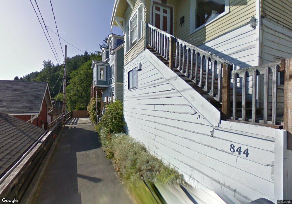
842 Harding St Unit 844 Ketchikan, AK 99901
Estimated Value: $402,108 - $429,000
3
Beds
3
Baths
1,785
Sq Ft
$231/Sq Ft
Est. Value
About This Home
This home is located at 842 Harding St Unit 844, Ketchikan, AK 99901 and is currently estimated at $412,703, approximately $231 per square foot. 842 Harding St Unit 844 is a home located in Ketchikan Gateway Borough with nearby schools including Ketchikan High School, Tongass School of Arts & Sciences Charter School, and Ketchikan Charter School.
Ownership History
Date
Name
Owned For
Owner Type
Purchase Details
Closed on
Jun 25, 2001
Sold by
The Freer Family Trust
Bought by
George Michael A and George Marsha D
Current Estimated Value
Home Financials for this Owner
Home Financials are based on the most recent Mortgage that was taken out on this home.
Original Mortgage
$155,000
Outstanding Balance
$59,776
Interest Rate
7.15%
Mortgage Type
Seller Take Back
Estimated Equity
$352,927
Create a Home Valuation Report for This Property
The Home Valuation Report is an in-depth analysis detailing your home's value as well as a comparison with similar homes in the area
Home Values in the Area
Average Home Value in this Area
Purchase History
| Date | Buyer | Sale Price | Title Company |
|---|---|---|---|
| George Michael A | -- | -- |
Source: Public Records
Mortgage History
| Date | Status | Borrower | Loan Amount |
|---|---|---|---|
| Open | George Michael A | $155,000 |
Source: Public Records
Tax History Compared to Growth
Tax History
| Year | Tax Paid | Tax Assessment Tax Assessment Total Assessment is a certain percentage of the fair market value that is determined by local assessors to be the total taxable value of land and additions on the property. | Land | Improvement |
|---|---|---|---|---|
| 2025 | $1,966 | $321,700 | $74,900 | $246,800 |
| 2024 | $1,821 | $310,400 | $72,200 | $238,200 |
| 2023 | $1,630 | $288,100 | $64,400 | $223,700 |
| 2022 | $1,512 | $128,100 | $128,100 | $0 |
| 2021 | $1,396 | $118,300 | $118,300 | $0 |
| 2020 | $2,263 | $195,100 | $52,500 | $142,600 |
| 2019 | $2,330 | $200,900 | $52,500 | $148,400 |
| 2018 | $2,299 | $198,200 | $52,500 | $145,700 |
| 2017 | $2,258 | $193,000 | $0 | $0 |
| 2016 | $2,289 | $195,600 | $0 | $0 |
| 2015 | -- | $190,100 | $0 | $0 |
| 2014 | -- | $190,100 | $0 | $0 |
Source: Public Records
Map
Nearby Homes
- 636 Water St
- 1254-1256 Water St
- 764-766 Forest Ave
- 1227 Black Bear Rd Unit 1229
- L8 B2 Gravina Island
- 320 Bawden St Unit 613-614
- 320 Bawden St
- 320 Bawden St Unit 718
- 320 Bawden St Unit 509
- 118 Elliot St
- 800 BLK Miller Ridge Rd
- 1 Creek St
- 772 Amundsen Way
- 1350 Woodside Dr
- 835 Harris St
- 647 Park Ave
- 1770-1772 2nd Ave
- 1770 2nd Ave
- 930 Freeman St
- 930 & 936 Freeman St
- 838 Harding St
- 830 Harding St
- 838 Warren St
- 846 Warren St
- 824 Harding St
- 875 Front St
- 830 Warren St Unit 832
- 852 Warren St
- 822 Warren St
- 852 Harding St
- 852 Harding St Unit Lower
- 818 Harding St
- 826 Hopkins St
- 816 Warren St
- 860 Warren St
- 312 Young St
- 808 Harding St
- 808 Warren St
- 816 Hopkins Alley
- 325 Young St