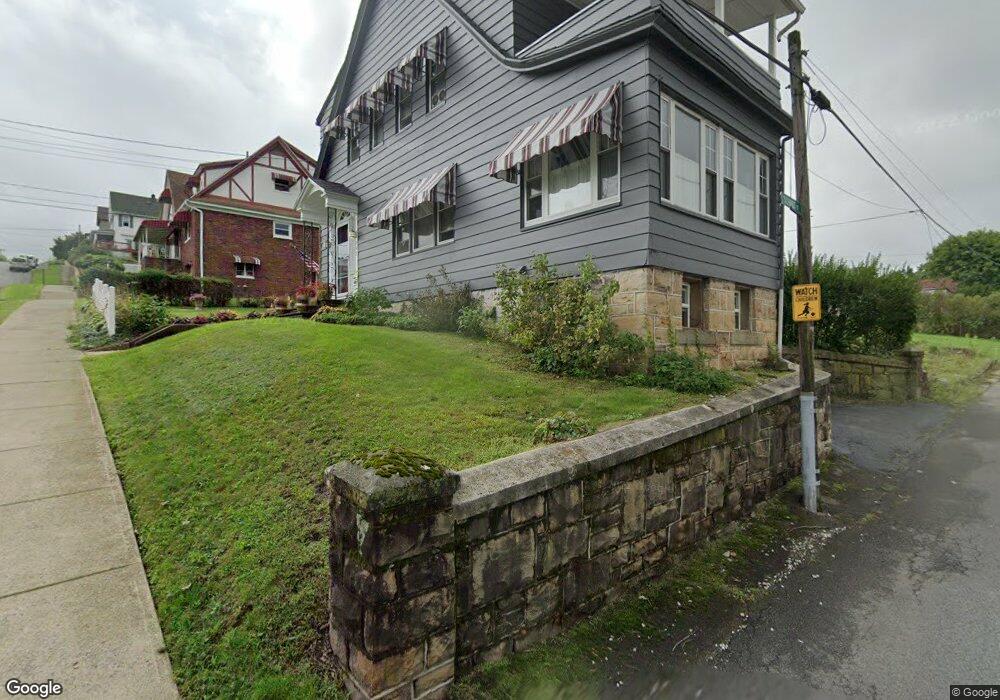
842 Orchard St Scranton, PA 18505
South Side NeighborhoodEstimated Value: $148,783 - $245,000
--
Bed
--
Bath
--
Sq Ft
3,790
Sq Ft Lot
About This Home
This home is located at 842 Orchard St, Scranton, PA 18505 and is currently estimated at $198,946. 842 Orchard St is a home located in Lackawanna County with nearby schools including Jackson Davis Elementary School, Longdale Elementary School, and Pinchbeck Elementary School.
Ownership History
Date
Name
Owned For
Owner Type
Purchase Details
Closed on
Jun 27, 2007
Sold by
Statuto Joseph and Statuto Reisa
Bought by
Petroski Karen M
Current Estimated Value
Home Financials for this Owner
Home Financials are based on the most recent Mortgage that was taken out on this home.
Original Mortgage
$82,400
Outstanding Balance
$51,206
Interest Rate
6.39%
Mortgage Type
New Conventional
Estimated Equity
$147,740
Create a Home Valuation Report for This Property
The Home Valuation Report is an in-depth analysis detailing your home's value as well as a comparison with similar homes in the area
Home Values in the Area
Average Home Value in this Area
Purchase History
| Date | Buyer | Sale Price | Title Company |
|---|---|---|---|
| Petroski Karen M | $82,400 | None Available |
Source: Public Records
Mortgage History
| Date | Status | Borrower | Loan Amount |
|---|---|---|---|
| Open | Petroski Karen M | $82,400 |
Source: Public Records
Tax History Compared to Growth
Tax History
| Year | Tax Paid | Tax Assessment Tax Assessment Total Assessment is a certain percentage of the fair market value that is determined by local assessors to be the total taxable value of land and additions on the property. | Land | Improvement |
|---|---|---|---|---|
| 2025 | $4,789 | $15,000 | $2,200 | $12,800 |
| 2024 | $4,374 | $15,000 | $2,200 | $12,800 |
| 2023 | $4,374 | $15,000 | $2,200 | $12,800 |
| 2022 | $4,278 | $15,000 | $2,200 | $12,800 |
| 2021 | $4,278 | $15,000 | $2,200 | $12,800 |
| 2020 | $4,197 | $15,000 | $2,200 | $12,800 |
| 2019 | $3,947 | $15,000 | $2,200 | $12,800 |
| 2018 | $3,947 | $15,000 | $2,200 | $12,800 |
| 2017 | $3,877 | $15,000 | $2,200 | $12,800 |
| 2016 | $1,159 | $15,000 | $2,200 | $12,800 |
| 2015 | $2,902 | $15,000 | $2,200 | $12,800 |
| 2014 | -- | $15,000 | $2,200 | $12,800 |
Source: Public Records
Map
Nearby Homes
- 307 Crown Ave
- 910 Orchard St
- 824 Hemlock St
- 933 Hickory St
- 741 River St
- 917 Willow St
- 728 Alder St
- 24 Stafford Ave
- 1025 Willow St
- 321 Prospect Ave
- 409 Prospect Ave
- 618 Alder St
- 610 Moosic St
- 506 Prospect Ave
- 538 Orchard St
- 522 524 River St
- 228 Prescott Ave
- 903 Stafford Ave
- 832 S Webster Ave
- 414 Wintermantle Ave
- 308 Crown Ave
- 844 Orchard St
- 312 Crown Ave
- 841 Orchard St
- 845 Orchard St
- 838 Orchard St
- 316 Crown Ave
- 330 Crown Ave
- 230 Crown Ave Unit 232
- 226 Crown Ave Unit L27
- 830 Orchard St
- 318 Crown Ave
- 839 Orchard St
- 224 Crown Ave
- 826 Orchard St
- 837 Orchard St
- 301 Crown Ave
- 835 Orchard St
- 218 Crown Ave
- 901 Orchard St