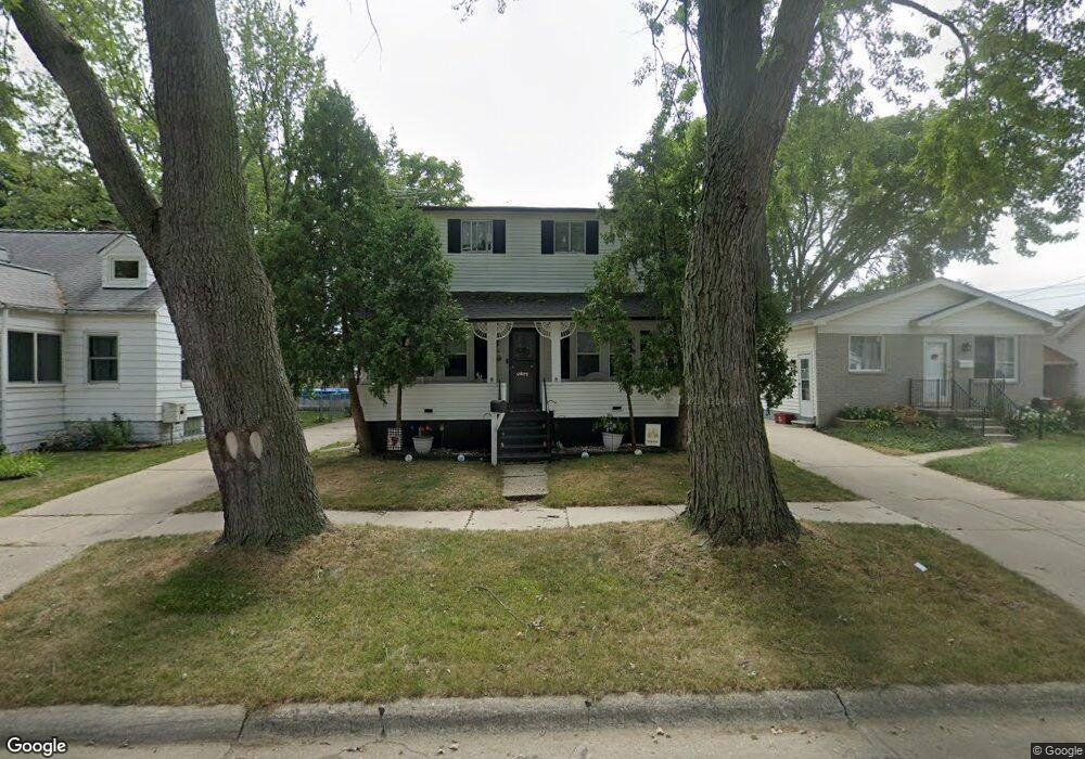
8422 Central Unit Bldg-Unit Center Line, MI 48015
Estimated Value: $156,000 - $190,241
3
Beds
2
Baths
1,448
Sq Ft
$123/Sq Ft
Est. Value
About This Home
This home is located at 8422 Central Unit Bldg-Unit, Center Line, MI 48015 and is currently estimated at $178,310, approximately $123 per square foot. 8422 Central Unit Bldg-Unit is a home located in Macomb County with nearby schools including May V. Peck Elementary School, Center Line High School, and Wolfe Middle School.
Ownership History
Date
Name
Owned For
Owner Type
Purchase Details
Closed on
Jul 3, 2018
Sold by
Baker John G and Baker Linda A
Bought by
Robinson Carol and Robinson Delbert
Current Estimated Value
Home Financials for this Owner
Home Financials are based on the most recent Mortgage that was taken out on this home.
Original Mortgage
$112,917
Outstanding Balance
$98,076
Interest Rate
4.6%
Mortgage Type
FHA
Estimated Equity
$80,234
Purchase Details
Closed on
Aug 28, 1998
Sold by
Pellegrini Frank D
Bought by
Baker John G
Create a Home Valuation Report for This Property
The Home Valuation Report is an in-depth analysis detailing your home's value as well as a comparison with similar homes in the area
Home Values in the Area
Average Home Value in this Area
Purchase History
| Date | Buyer | Sale Price | Title Company |
|---|---|---|---|
| Robinson Carol | $115,000 | Title One Inc | |
| Baker John G | $95,000 | -- |
Source: Public Records
Mortgage History
| Date | Status | Borrower | Loan Amount |
|---|---|---|---|
| Open | Robinson Carol | $112,917 |
Source: Public Records
Tax History
| Year | Tax Paid | Tax Assessment Tax Assessment Total Assessment is a certain percentage of the fair market value that is determined by local assessors to be the total taxable value of land and additions on the property. | Land | Improvement |
|---|---|---|---|---|
| 2025 | $3,058 | $84,000 | $0 | $0 |
| 2024 | $30 | $78,000 | $0 | $0 |
| 2023 | $2,828 | $70,600 | $0 | $0 |
| 2022 | $3,345 | $61,900 | $0 | $0 |
| 2021 | $3,482 | $56,900 | $0 | $0 |
| 2020 | $2,840 | $52,500 | $0 | $0 |
| 2019 | $1,924 | $46,600 | $0 | $0 |
| 2018 | $2,247 | $35,370 | $0 | $0 |
| 2017 | $2,085 | $31,540 | $4,720 | $26,820 |
| 2016 | $1,924 | $31,540 | $0 | $0 |
| 2015 | -- | $28,160 | $0 | $0 |
| 2011 | -- | $33,980 | $4,590 | $29,390 |
Source: Public Records
Map
Nearby Homes
Your Personal Tour Guide
Ask me questions while you tour the home.