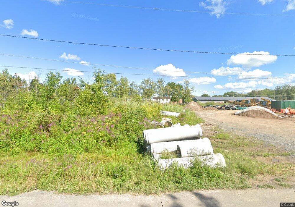
8424 Damon Rd Cicero, NY 13039
Estimated Value: $552,789
--
Bed
--
Bath
7,000
Sq Ft
$79/Sq Ft
Est. Value
About This Home
This home is located at 8424 Damon Rd, Cicero, NY 13039 and is currently estimated at $552,789, approximately $78 per square foot. 8424 Damon Rd is a home located in Onondaga County with nearby schools including North Syracuse Junior High School, Cicero North Syracuse High School, and Little Lamb Christian School.
Ownership History
Date
Name
Owned For
Owner Type
Purchase Details
Closed on
Aug 28, 2015
Sold by
Damon David
Bought by
Bukoba Inc
Current Estimated Value
Purchase Details
Closed on
Jul 3, 2006
Sold by
Damon Gary R
Bought by
Damon David A
Purchase Details
Closed on
Jun 20, 1997
Sold by
Damon Dnaiel L
Bought by
Damon David A
Purchase Details
Closed on
Jun 6, 1997
Sold by
Damon Ronald W
Bought by
Damon David A and Geloff Diane M
Purchase Details
Closed on
Feb 3, 1997
Sold by
Northdale Lo Dge
Bought by
Damon David A and Estate Damon Sr David A
Create a Home Valuation Report for This Property
The Home Valuation Report is an in-depth analysis detailing your home's value as well as a comparison with similar homes in the area
Home Values in the Area
Average Home Value in this Area
Purchase History
| Date | Buyer | Sale Price | Title Company |
|---|---|---|---|
| Bukoba Inc | $262,500 | Kevin Pole | |
| Damon David A | $20,000 | Philip Tripolone | |
| Damon David A | $30,000 | -- | |
| Damon David A | $15,000 | -- | |
| Damon David A | -- | -- |
Source: Public Records
Tax History Compared to Growth
Tax History
| Year | Tax Paid | Tax Assessment Tax Assessment Total Assessment is a certain percentage of the fair market value that is determined by local assessors to be the total taxable value of land and additions on the property. | Land | Improvement |
|---|---|---|---|---|
| 2024 | $2,576 | $207,500 | $207,500 | $0 |
| 2023 | $7,901 | $207,500 | $207,500 | $0 |
| 2022 | $8,064 | $207,500 | $207,500 | $0 |
| 2021 | $7,897 | $207,500 | $207,500 | $0 |
| 2020 | $7,846 | $207,500 | $207,500 | $0 |
| 2019 | $2,923 | $207,500 | $207,500 | $0 |
| 2018 | $7,862 | $207,500 | $207,500 | $0 |
| 2017 | $3,798 | $207,500 | $207,500 | $0 |
| 2016 | $9,504 | $261,000 | $207,500 | $53,500 |
| 2015 | -- | $300,000 | $207,500 | $92,500 |
| 2014 | -- | $315,000 | $207,500 | $107,500 |
Source: Public Records
Map
Nearby Homes
- 8467 Torchwood Ln
- 8452 Rollercoaster Dr
- 6239 Wynmoor Dr
- 6185 Stone Arabia Rd
- 6130 Palisades Dr
- 6118 Owlwood Dr
- 6299 Tanker Trail
- 6302 Jane Ln
- 6303 Tanker Trail
- 6063 Owlwood Dr
- 6090 Owlwood Dr
- 6123 Dawns Ridge
- 6317 Asa Eastwood
- 6055 Jerusalem Dr
- 6200 S Bay Rd
- 6038 Haifa Ln
- 6427 State Route 31
- 8417 Boyko Farm
- 6467 Electric Railway
- 8732 Honeycomb Path
- 8440 Damon Rd
- 8423 Torchwood Ln
- 8419 Torchwood Ln
- 8427 Torchwood Ln
- 8431 Torchwood Ln
- 8435 Torchwood Ln
- 8439 Torchwood Ln
- 22 Loso Dr
- 8422 Torchwood Ln
- 8426 Torchwood Ln
- 8430 Torchwood Ln
- 8443 Torchwood Ln
- 6154 Wynmoor Dr
- 8447 Torchwood Ln
- 6163 Monitor Way
- 6165 Monitor Way
- 6161 Monitor Way
- 6167 Monitor Way
- 6169 Monitor Way
- 6158 Wynmoor Dr
