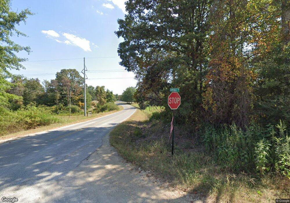
8425 Highway 81 Phil Campbell, AL 35581
Estimated Value: $216,000 - $262,000
--
Bed
--
Bath
2,300
Sq Ft
$105/Sq Ft
Est. Value
About This Home
This home is located at 8425 Highway 81, Phil Campbell, AL 35581 and is currently estimated at $242,623, approximately $105 per square foot. 8425 Highway 81 is a home.
Ownership History
Date
Name
Owned For
Owner Type
Purchase Details
Closed on
Aug 30, 2023
Sold by
Horton Thomas and Horton Autumn
Bought by
Frost Bryton
Current Estimated Value
Home Financials for this Owner
Home Financials are based on the most recent Mortgage that was taken out on this home.
Original Mortgage
$211,000
Outstanding Balance
$206,372
Interest Rate
6.78%
Mortgage Type
New Conventional
Estimated Equity
$36,251
Purchase Details
Closed on
Sep 23, 2019
Sold by
Brooks Varnell
Bought by
Horton Thomas and Horton Autumn
Create a Home Valuation Report for This Property
The Home Valuation Report is an in-depth analysis detailing your home's value as well as a comparison with similar homes in the area
Home Values in the Area
Average Home Value in this Area
Purchase History
| Date | Buyer | Sale Price | Title Company |
|---|---|---|---|
| Frost Bryton | $231,000 | None Listed On Document | |
| Horton Thomas | $165,000 | None Available |
Source: Public Records
Mortgage History
| Date | Status | Borrower | Loan Amount |
|---|---|---|---|
| Open | Frost Bryton | $211,000 |
Source: Public Records
Tax History Compared to Growth
Tax History
| Year | Tax Paid | Tax Assessment Tax Assessment Total Assessment is a certain percentage of the fair market value that is determined by local assessors to be the total taxable value of land and additions on the property. | Land | Improvement |
|---|---|---|---|---|
| 2024 | $711 | $20,420 | $1,540 | $18,880 |
| 2023 | $711 | $18,680 | $1,460 | $17,220 |
| 2022 | $540 | $17,000 | $1,300 | $15,700 |
| 2021 | $487 | $15,400 | $1,300 | $14,100 |
| 2020 | $546 | $15,400 | $1,300 | $14,100 |
| 2019 | $1 | $15,610 | $1,260 | $14,350 |
| 2018 | $1 | $15,300 | $1,300 | $14,000 |
| 2017 | $1 | $13,600 | $1,200 | $12,400 |
| 2016 | $1 | $13,600 | $1,200 | $12,400 |
| 2015 | $1 | $13,600 | $1,200 | $12,400 |
| 2014 | $1 | $13,600 | $1,200 | $12,400 |
| 2013 | $1 | $13,200 | $1,100 | $12,100 |
Source: Public Records
Map
Nearby Homes
- 000 Alabama 243
- 482 Shelnutt Loop
- 0 Highway 81
- 0 Alabama 243
- 7331 County Highway 79
- 2210 County Highway 38
- 12 Dover Rd
- 5390 County Hwy 81
- 73 Meadow Dr
- 1537 County Road 81
- 3000 County Highway 93
- 1190 Rail Splitter Rd
- 571 Cothrum Rd
- 0 Hyde Rd Unit LotWP001 23713578
- 0 Hyde Rd
- 364 Steele St
- County Road 6
- 251 Johnson Dr
- 2206 Highway 63
- 1601 Kelley Rd
- 81 Cohwy
- 8094 Highway 81
- 8094 Highway 81
- 1509 Shelnutt Loop
- 1284 Highway 82
- 1441 Highway 82
- 1321 Shelnutt Loop
- 665 Highway 82
- 7838 Highway 81
- 82 Co Highway 82 Ln
- 1201 Shelnutt Loop
- 1285 Highway 82
- 4470 Highway 243
- 0 Shelnutt Lp Unit 507262
- 940 Shelnutt Loop
- 9180 Highway 81
- 9281 Highway 81
- 9896 Highway 81
- 7672 Highway 81
- 1007 Shelnutt Loop
