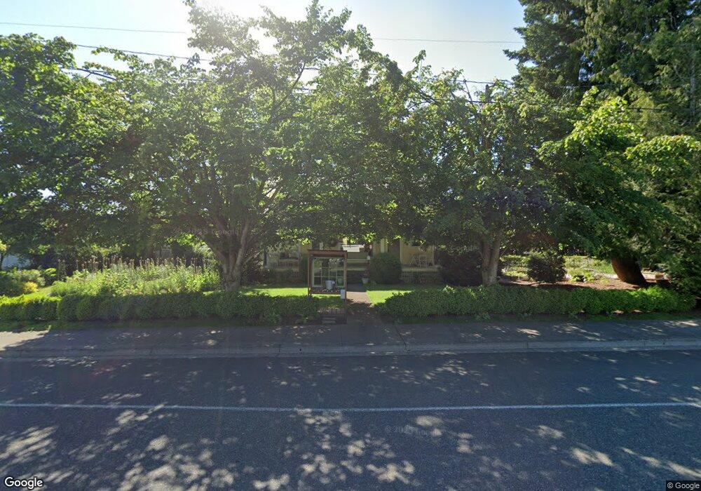
8427 Benson Rd Lynden, WA 98264
Estimated Value: $523,055 - $644,000
4
Beds
1
Bath
1,504
Sq Ft
$383/Sq Ft
Est. Value
About This Home
This home is located at 8427 Benson Rd, Lynden, WA 98264 and is currently estimated at $575,764, approximately $382 per square foot. 8427 Benson Rd is a home located in Whatcom County with nearby schools including Lynden High School, Lynden Christian School, and Lynden Christian Schools: Administration.
Ownership History
Date
Name
Owned For
Owner Type
Purchase Details
Closed on
Feb 1, 2000
Sold by
Group Four Lynden Llc
Bought by
Brink Chad W and Brink Trisha L
Current Estimated Value
Home Financials for this Owner
Home Financials are based on the most recent Mortgage that was taken out on this home.
Original Mortgage
$130,726
Outstanding Balance
$42,583
Interest Rate
7.96%
Estimated Equity
$533,181
Create a Home Valuation Report for This Property
The Home Valuation Report is an in-depth analysis detailing your home's value as well as a comparison with similar homes in the area
Home Values in the Area
Average Home Value in this Area
Purchase History
| Date | Buyer | Sale Price | Title Company |
|---|---|---|---|
| Brink Chad W | -- | First American Title Ins |
Source: Public Records
Mortgage History
| Date | Status | Borrower | Loan Amount |
|---|---|---|---|
| Open | Brink Chad W | $130,726 |
Source: Public Records
Tax History Compared to Growth
Tax History
| Year | Tax Paid | Tax Assessment Tax Assessment Total Assessment is a certain percentage of the fair market value that is determined by local assessors to be the total taxable value of land and additions on the property. | Land | Improvement |
|---|---|---|---|---|
| 2024 | $3,568 | $497,220 | $266,750 | $230,470 |
| 2023 | $3,568 | $496,606 | $275,000 | $221,606 |
| 2022 | $2,470 | $324,490 | $127,711 | $196,779 |
| 2021 | $2,423 | $268,171 | $105,545 | $162,626 |
| 2020 | $2,123 | $239,444 | $94,239 | $145,205 |
| 2019 | $1,888 | $219,632 | $86,527 | $133,105 |
| 2018 | $2,064 | $200,274 | $78,823 | $121,451 |
| 2017 | $1,952 | $179,763 | $70,750 | $109,013 |
| 2016 | $1,846 | $180,836 | $66,000 | $114,836 |
| 2015 | $1,636 | $170,124 | $63,480 | $106,644 |
| 2014 | -- | $164,358 | $61,320 | $103,038 |
| 2013 | -- | $163,038 | $60,000 | $103,038 |
Source: Public Records
Map
Nearby Homes
- 1584 Main St
- 410 10th St
- 735 Ivy St
- 908 Liberty St
- 515 17th St
- 0 Guide Meridian Unit NWM2369980
- 518 Edson St
- 403 17th St
- 805 Cedar Dr
- 1218 Front St
- 915 Front St
- 301 S Park St
- 706 Judson St Unit B
- 706 Judson St Unit A
- 1510 E St
- 1809 Pine Cir
- 106 Fairside Dr Unit D
- 1717 E St
- 885 Sunrise Dr
- 761 Sunrise Dr