8427 N 444 Strang, OK 74367
Estimated Value: $417,000 - $551,330
3
Beds
2
Baths
2,308
Sq Ft
$202/Sq Ft
Est. Value
About This Home
This home is located at 8427 N 444, Strang, OK 74367 and is currently estimated at $465,443, approximately $201 per square foot. 8427 N 444 is a home with nearby schools including Bernita Hughes Elementary School, Adair Middle School, and Adair High School.
Ownership History
Date
Name
Owned For
Owner Type
Purchase Details
Closed on
Nov 30, 2016
Sold by
Garrett David M and Garrett Joyce E
Bought by
Rickard James B and Rickard Cindy L
Current Estimated Value
Purchase Details
Closed on
Mar 5, 2013
Sold by
Wilhelm Jsaon R and Wilhelm Jsaon
Bought by
Garrett David M and Garrett Joyce E
Home Financials for this Owner
Home Financials are based on the most recent Mortgage that was taken out on this home.
Original Mortgage
$46,000
Interest Rate
3.44%
Mortgage Type
New Conventional
Create a Home Valuation Report for This Property
The Home Valuation Report is an in-depth analysis detailing your home's value as well as a comparison with similar homes in the area
Home Values in the Area
Average Home Value in this Area
Purchase History
| Date | Buyer | Sale Price | Title Company |
|---|---|---|---|
| Rickard James B | $69,000 | None Available | |
| Garrett David M | $57,500 | None Available |
Source: Public Records
Mortgage History
| Date | Status | Borrower | Loan Amount |
|---|---|---|---|
| Previous Owner | Garrett David M | $46,000 |
Source: Public Records
Tax History Compared to Growth
Tax History
| Year | Tax Paid | Tax Assessment Tax Assessment Total Assessment is a certain percentage of the fair market value that is determined by local assessors to be the total taxable value of land and additions on the property. | Land | Improvement |
|---|---|---|---|---|
| 2025 | $3,873 | $41,736 | $7,141 | $34,595 |
| 2024 | $3,873 | $39,748 | $6,801 | $32,947 |
| 2023 | $3,873 | $37,856 | $6,801 | $31,055 |
| 2022 | $3,167 | $36,053 | $12,003 | $24,050 |
| 2021 | $727 | $8,215 | $5,061 | $3,154 |
| 2020 | $701 | $7,824 | $5,002 | $2,822 |
| 2019 | $675 | $7,451 | $4,946 | $2,505 |
| 2018 | $640 | $7,097 | $4,946 | $2,151 |
| 2017 | $674 | $7,728 | $3,258 | $4,470 |
| 2016 | $477 | $6,445 | $3,258 | $3,187 |
| 2015 | $480 | $6,445 | $3,258 | $3,187 |
| 2014 | $480 | $6,445 | $3,258 | $3,187 |
Source: Public Records
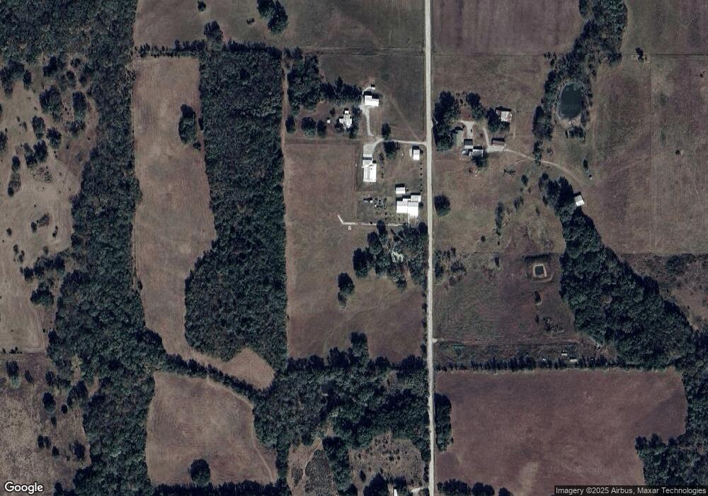
Map
Nearby Homes
- 8234 E 400
- 440 Murray Ln
- 10080 E 420
- 10010 N Highway 82
- 304 Flood Ave
- 116 Hudson Dr
- TBD Mocking Bird Ln
- TBD Broadway
- 444561 Robin Dr
- 00000 N Woodford
- 15152 N Hwy 82
- 444596 E Cardinal Ln
- 107 Spring St
- 0 Lakeview Dr Unit 2544578
- TBD Kay Ave
- 101 Front St
- 0 Tbd Blue Bird Ln
- 55 Lakewood Estate Dr
- 9212 N 447 Rd
- 9207 N 447 Rd
- 8903 E 410
- 8446 N 444
- 0 4440 Rd Unit 5-2372
- 0 4440 Rd Unit 4-1752
- 0 4440 Rd Unit 12-357
- N State Highway 82
- 8683 E 410
- 0 N 444 Rd
- 8453 E 410
- 8453 E 410
- 0 E W 410 Rd Unit 22-1713
- TBE E 410 Rd
- 8755 N 444
- 0 E0400 Rd
- 8327 E 410
- 8249 E 410
- 440 Murray Ln Unit 4
- 0 To Be Established Unit 14-2307
- E 400 Rd
- 8753 E 400