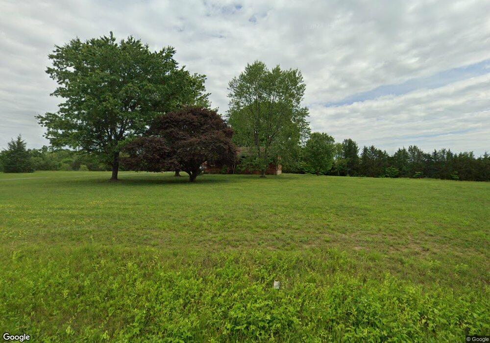
8429 Brock Rd Spotsylvania, VA 22553
Spotsylvania Courthouse NeighborhoodEstimated Value: $223,000 - $360,525
3
Beds
2
Baths
1,440
Sq Ft
$221/Sq Ft
Est. Value
About This Home
This home is located at 8429 Brock Rd, Spotsylvania, VA 22553 and is currently estimated at $317,631, approximately $220 per square foot. 8429 Brock Rd is a home located in Spotsylvania County with nearby schools including Spotsylvania Elementary School, Post Oak Middle School, and Spotsylvania High School.
Ownership History
Date
Name
Owned For
Owner Type
Purchase Details
Closed on
Mar 4, 2002
Sold by
Hairfield Ricky L
Bought by
Spitler Robert C
Current Estimated Value
Home Financials for this Owner
Home Financials are based on the most recent Mortgage that was taken out on this home.
Original Mortgage
$124,800
Outstanding Balance
$51,361
Interest Rate
6.85%
Mortgage Type
New Conventional
Estimated Equity
$266,270
Purchase Details
Closed on
Apr 10, 2000
Sold by
Leonard Jerry W
Bought by
Hairfield Ricky
Create a Home Valuation Report for This Property
The Home Valuation Report is an in-depth analysis detailing your home's value as well as a comparison with similar homes in the area
Home Values in the Area
Average Home Value in this Area
Purchase History
| Date | Buyer | Sale Price | Title Company |
|---|---|---|---|
| Spitler Robert C | $119,000 | -- | |
| Hairfield Ricky | $55,000 | -- |
Source: Public Records
Mortgage History
| Date | Status | Borrower | Loan Amount |
|---|---|---|---|
| Open | Spitler Robert C | $124,800 |
Source: Public Records
Tax History Compared to Growth
Tax History
| Year | Tax Paid | Tax Assessment Tax Assessment Total Assessment is a certain percentage of the fair market value that is determined by local assessors to be the total taxable value of land and additions on the property. | Land | Improvement |
|---|---|---|---|---|
| 2025 | $1,648 | $224,400 | $94,100 | $130,300 |
| 2024 | $1,648 | $224,400 | $94,100 | $130,300 |
| 2023 | $1,529 | $198,100 | $83,100 | $115,000 |
| 2022 | $1,461 | $198,100 | $83,100 | $115,000 |
| 2021 | $1,352 | $167,000 | $61,100 | $105,900 |
| 2020 | $1,352 | $167,000 | $61,100 | $105,900 |
| 2019 | $1,349 | $159,200 | $55,600 | $103,600 |
| 2018 | $1,326 | $159,200 | $55,600 | $103,600 |
| 2017 | $1,386 | $163,000 | $55,600 | $107,400 |
| 2016 | $1,386 | $163,000 | $55,600 | $107,400 |
| 2015 | -- | $165,500 | $55,600 | $109,900 |
| 2014 | -- | $165,500 | $55,600 | $109,900 |
Source: Public Records
Map
Nearby Homes
- 8508 Brock Rd
- 8112 Battle Trace Ln
- 8309 Hancock Rd
- 8100 Battle Trace Ln
- 8625 Brock Rd
- 10201 Shawnee Ln
- 9212 Isle of Laurels
- 7802 Lyndhurst Ct
- 10318 Shaw Dr
- 9872 Red Hill Rd
- 8205 Colise Ln
- 10415 Shaw Dr
- 10108 Willow Ridge Ln
- 10416 Ni River Dr
- 8012 Pembroke Cir
- 7931 E Robert e Lee Ct
- 8812 Selby Ct
- 8816 Selby Ct
- 7863 Harlow Cir
- 8800 Millwood Dr
