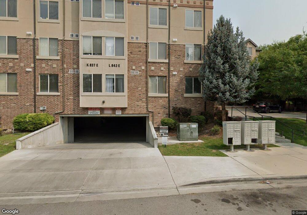
843 E 620 N Unit L2 Provo, UT 84606
Joaquin NeighborhoodEstimated Value: $423,859 - $500,000
4
Beds
2
Baths
1,098
Sq Ft
$423/Sq Ft
Est. Value
About This Home
This home is located at 843 E 620 N Unit L2, Provo, UT 84606 and is currently estimated at $464,465, approximately $423 per square foot. 843 E 620 N Unit L2 is a home located in Utah County with nearby schools including Provo Peaks School, Centennial Middle School, and Timpview High School.
Ownership History
Date
Name
Owned For
Owner Type
Purchase Details
Closed on
Apr 6, 2022
Sold by
Lew Edmund H and Lew Sophie
Bought by
Edmund Anf Sophie Lew Family Trust
Current Estimated Value
Purchase Details
Closed on
Mar 29, 2007
Sold by
Kimball Kirt M and Hatch Brandon Jay
Bought by
Lew Edmund H and Lew Sophie
Home Financials for this Owner
Home Financials are based on the most recent Mortgage that was taken out on this home.
Original Mortgage
$187,500
Interest Rate
6.13%
Mortgage Type
Purchase Money Mortgage
Purchase Details
Closed on
Jan 18, 2006
Sold by
Urban Development Group Llc
Bought by
Kimball Kirt M and Hatch Brandon Jay
Home Financials for this Owner
Home Financials are based on the most recent Mortgage that was taken out on this home.
Original Mortgage
$175,200
Interest Rate
2.5%
Mortgage Type
Fannie Mae Freddie Mac
Purchase Details
Closed on
Dec 12, 2005
Sold by
Cabanilla Development Llc
Bought by
Urban Development Group Llc
Home Financials for this Owner
Home Financials are based on the most recent Mortgage that was taken out on this home.
Original Mortgage
$175,200
Interest Rate
2.5%
Mortgage Type
Fannie Mae Freddie Mac
Create a Home Valuation Report for This Property
The Home Valuation Report is an in-depth analysis detailing your home's value as well as a comparison with similar homes in the area
Home Values in the Area
Average Home Value in this Area
Purchase History
| Date | Buyer | Sale Price | Title Company |
|---|---|---|---|
| Edmund Anf Sophie Lew Family Trust | -- | None Listed On Document | |
| Lew Edmund H | -- | Title West Title Company | |
| Kimball Kirt M | -- | Title West Title Company | |
| Urban Development Group Llc | -- | Title West Title Company |
Source: Public Records
Mortgage History
| Date | Status | Borrower | Loan Amount |
|---|---|---|---|
| Previous Owner | Lew Edmund H | $187,500 | |
| Previous Owner | Kimball Kirt M | $175,200 | |
| Previous Owner | Urban Development Group Llc | $21,900 |
Source: Public Records
Tax History
| Year | Tax Paid | Tax Assessment Tax Assessment Total Assessment is a certain percentage of the fair market value that is determined by local assessors to be the total taxable value of land and additions on the property. | Land | Improvement |
|---|---|---|---|---|
| 2025 | $2,207 | $220,880 | -- | -- |
| 2024 | $2,207 | $217,250 | $0 | $0 |
| 2023 | $2,299 | $223,080 | $0 | $0 |
| 2022 | $2,295 | $224,565 | $0 | $0 |
| 2021 | $1,930 | $329,300 | $39,500 | $289,800 |
| 2020 | $1,903 | $304,500 | $36,500 | $268,000 |
| 2019 | $1,656 | $275,600 | $33,000 | $242,600 |
| 2018 | $1,633 | $275,600 | $33,000 | $242,600 |
| 2017 | $1,530 | $141,900 | $0 | $0 |
| 2016 | $1,464 | $126,500 | $0 | $0 |
| 2015 | $1,354 | $118,250 | $0 | $0 |
| 2014 | $1,299 | $118,250 | $0 | $0 |
Source: Public Records
Map
Nearby Homes
- 843 E 620 N Unit L4
- 843 E 620 N Unit L3
- 843 E 620 N Unit L1
- 843 E 620 N Unit 39
- 843 E 620 N Unit 38
- 859 E 620 N Unit H4
- 859 E 620 N Unit H3
- 859 E 620 N Unit H2
- 837 E 620 N Unit K3
- 837 E 620 N Unit K2
- 837 E 620 N Unit K1
- 837 E 620 N Unit 35
- 837 E 620 N Unit 34
- 871 E 620 N Unit J4
- 871 E 620 N Unit J3
- 871 E 620 N Unit J2
- 825 E 620 N
- 866 E 700 N Unit C4
- 866 E 700 N Unit C3
- 866 E 700 N Unit C2
Your Personal Tour Guide
Ask me questions while you tour the home.