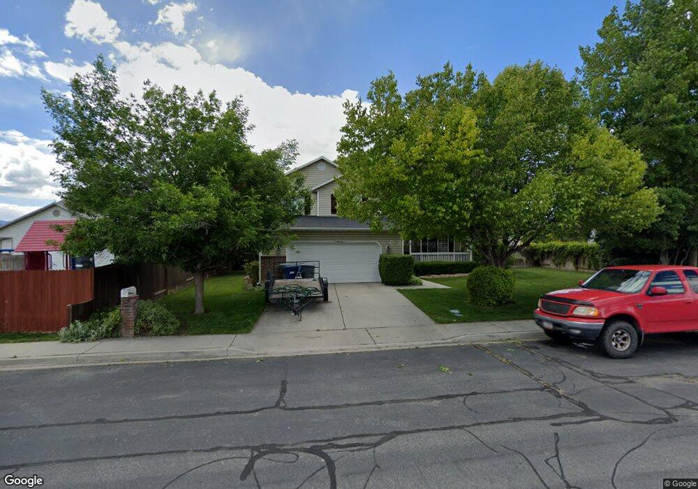
843 N 880 W Pleasant Grove, UT 84062
Estimated Value: $505,441 - $554,000
3
Beds
2
Baths
1,712
Sq Ft
$303/Sq Ft
Est. Value
About This Home
This home is located at 843 N 880 W, Pleasant Grove, UT 84062 and is currently estimated at $518,860, approximately $303 per square foot. 843 N 880 W is a home located in Utah County with nearby schools including Mount Mahogany School, Pleasant Grove Junior High School, and Pleasant Grove High School.
Ownership History
Date
Name
Owned For
Owner Type
Purchase Details
Closed on
Apr 26, 2000
Sold by
Morrill Michael S and Morrill Jeneil
Bought by
Deason Michael C and Deason Dawn J
Current Estimated Value
Home Financials for this Owner
Home Financials are based on the most recent Mortgage that was taken out on this home.
Original Mortgage
$152,245
Outstanding Balance
$52,975
Interest Rate
8.24%
Mortgage Type
FHA
Estimated Equity
$465,885
Purchase Details
Closed on
Jul 23, 1998
Sold by
Morrill Michael S and Morrill Jeneil
Bought by
Morrill Michael S and Morrill Jeneil
Home Financials for this Owner
Home Financials are based on the most recent Mortgage that was taken out on this home.
Original Mortgage
$123,553
Interest Rate
6.9%
Purchase Details
Closed on
Apr 2, 1997
Sold by
Valley Crest L C
Bought by
Morrill Michael S and Morrill Jeneil
Home Financials for this Owner
Home Financials are based on the most recent Mortgage that was taken out on this home.
Original Mortgage
$124,877
Interest Rate
7.66%
Mortgage Type
FHA
Create a Home Valuation Report for This Property
The Home Valuation Report is an in-depth analysis detailing your home's value as well as a comparison with similar homes in the area
Home Values in the Area
Average Home Value in this Area
Purchase History
| Date | Buyer | Sale Price | Title Company |
|---|---|---|---|
| Deason Michael C | -- | First American Title Co | |
| Morrill Michael S | -- | -- | |
| Morrill Michael S | -- | -- |
Source: Public Records
Mortgage History
| Date | Status | Borrower | Loan Amount |
|---|---|---|---|
| Open | Deason Michael C | $152,245 | |
| Previous Owner | Morrill Michael S | $123,553 | |
| Previous Owner | Morrill Michael S | $124,877 |
Source: Public Records
Tax History Compared to Growth
Tax History
| Year | Tax Paid | Tax Assessment Tax Assessment Total Assessment is a certain percentage of the fair market value that is determined by local assessors to be the total taxable value of land and additions on the property. | Land | Improvement |
|---|---|---|---|---|
| 2025 | $1,920 | $240,680 | $197,800 | $239,800 |
| 2024 | $1,920 | $229,240 | $0 | $0 |
| 2023 | $1,916 | $234,080 | $0 | $0 |
| 2022 | $1,890 | $229,735 | $0 | $0 |
| 2021 | $1,654 | $306,200 | $132,500 | $173,700 |
| 2020 | $1,514 | $274,800 | $118,300 | $156,500 |
| 2019 | $1,445 | $271,200 | $114,700 | $156,500 |
| 2018 | $1,373 | $243,600 | $107,500 | $136,100 |
| 2017 | $1,349 | $127,435 | $0 | $0 |
| 2016 | $1,291 | $117,755 | $0 | $0 |
| 2015 | $1,264 | $109,120 | $0 | $0 |
| 2014 | $1,239 | $105,985 | $0 | $0 |
Source: Public Records
Map
Nearby Homes
- 685 W 1000 N
- 909 W 1180 N
- 1130 W State Rd
- 1443 W 1010 N
- 1096 N 1420 St W Unit 27
- 1065 N 1420 W
- 1491 W 1010 N
- 1051 N 600 W
- 1031 N 600 W
- 1041 N 600 W
- 1515 W 1010 St N
- 1498 W 1060 N Unit 5
- Lytham Plan at Grove Acres
- 1171 N 1430 W
- Konlee Plan at Makin Dreams
- Alexa Plan at Makin Dreams
- Callahan Plan at Makin Dreams
- Hailey Plan at Makin Dreams
- Alydia Plan at Makin Dreams
- Addison Plan at Makin Dreams