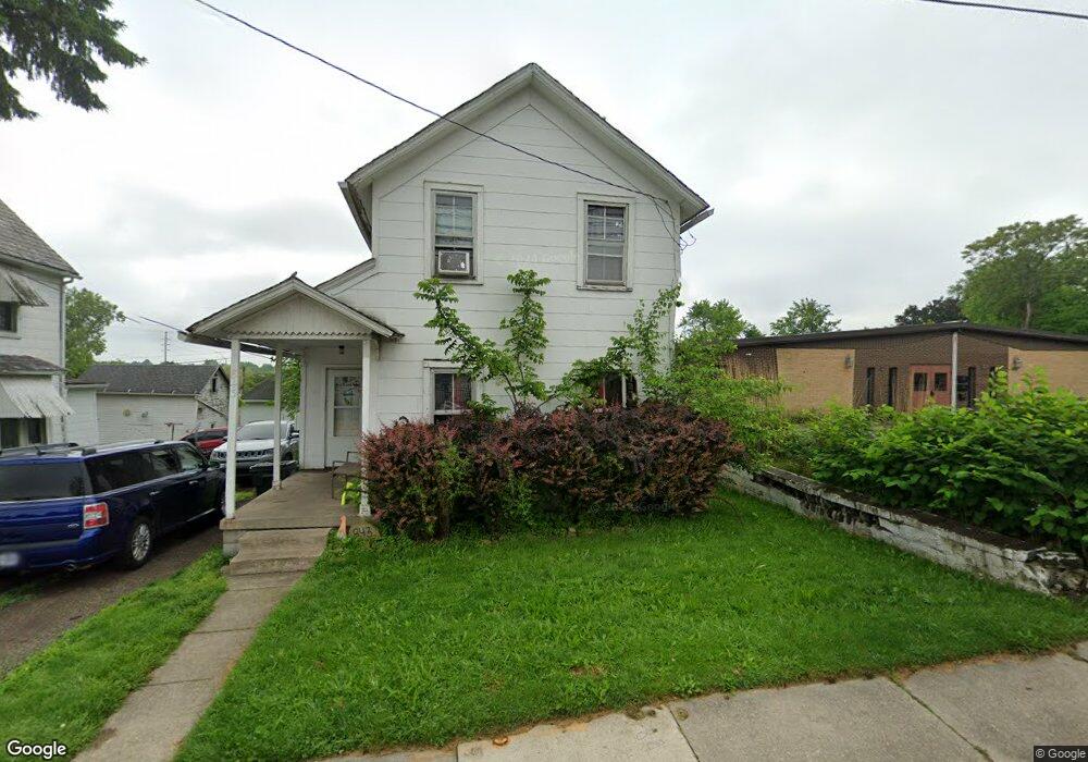
843 Wooster Rd N Barberton, OH 44203
North Barberton NeighborhoodEstimated Value: $139,000 - $211,000
3
Beds
1
Bath
1,200
Sq Ft
$137/Sq Ft
Est. Value
About This Home
This home is located at 843 Wooster Rd N, Barberton, OH 44203 and is currently estimated at $164,042, approximately $136 per square foot. 843 Wooster Rd N is a home located in Summit County with nearby schools including Barberton Middle School, Barberton Intermediate School 3-5, and Barberton High School.
Ownership History
Date
Name
Owned For
Owner Type
Purchase Details
Closed on
Oct 3, 2018
Sold by
Treadway Linda M and Taylor Linda M
Bought by
Hickory North Llc and North Llc
Current Estimated Value
Home Financials for this Owner
Home Financials are based on the most recent Mortgage that was taken out on this home.
Original Mortgage
$50,000
Outstanding Balance
$43,603
Interest Rate
4.5%
Mortgage Type
Commercial
Estimated Equity
$120,439
Create a Home Valuation Report for This Property
The Home Valuation Report is an in-depth analysis detailing your home's value as well as a comparison with similar homes in the area
Home Values in the Area
Average Home Value in this Area
Purchase History
| Date | Buyer | Sale Price | Title Company |
|---|---|---|---|
| Hickory North Llc | $50,000 | First American Title |
Source: Public Records
Mortgage History
| Date | Status | Borrower | Loan Amount |
|---|---|---|---|
| Open | Hickory North Llc | $50,000 |
Source: Public Records
Tax History Compared to Growth
Tax History
| Year | Tax Paid | Tax Assessment Tax Assessment Total Assessment is a certain percentage of the fair market value that is determined by local assessors to be the total taxable value of land and additions on the property. | Land | Improvement |
|---|---|---|---|---|
| 2025 | $2,868 | $52,452 | $10,987 | $41,465 |
| 2024 | $2,868 | $52,452 | $10,987 | $41,465 |
| 2023 | $2,040 | $52,452 | $10,987 | $41,465 |
| 2022 | $2,040 | $34,465 | $7,182 | $27,283 |
| 2021 | $2,252 | $34,465 | $7,182 | $27,283 |
| 2020 | $1,723 | $34,460 | $7,180 | $27,280 |
| 2019 | $1,639 | $24,390 | $4,420 | $19,970 |
| 2018 | $1,536 | $24,390 | $4,420 | $19,970 |
| 2017 | $1,556 | $24,390 | $4,420 | $19,970 |
| 2016 | $1,556 | $24,390 | $4,420 | $19,970 |
| 2015 | $1,556 | $24,390 | $4,420 | $19,970 |
| 2014 | $1,548 | $24,390 | $4,420 | $19,970 |
| 2013 | $1,563 | $25,540 | $4,420 | $21,120 |
Source: Public Records
Map
Nearby Homes
- 44 W Summit St
- 30 W Hiram St
- 103 Mitchell St
- 690 Saint Clair Ave
- 818 N Summit St
- 0 Wooster Rd N
- 143 Glenn St
- 277 Glenn St
- 0 Romig Ave
- 613 Wooster Rd N
- 76 Hazelwood Ave
- 412 Grandview Ave
- 146 Hermann St
- 645 Madison Ave
- 137 Hermann St
- 117 Fernwood Ave
- 103 & 103 1/2 Fernwood Ave
- 261 E State St
- 1150 Wooster Rd N
- 213 Hermann St
- 843 Wooster Rd N
- 853 Wooster Rd N
- 842 Ashland Ct
- 823 Wooster Rd N
- 0 Ashland Ct Unit 4072924
- 830 Ashland Ct
- 821 Wooster Rd N
- 826 Ashland Ct
- 846 Coventry Rd
- 18 W State St
- 818 Ashland Ct
- 0 Coventry Rd
- 594 Portage St
- 37 New St
- 27 New St
- 793 Wooster Rd N
- 610 Portage St
- 790 Coventry Rd
- 791 Wooster Rd N
- 901 Wooster Rd N