8430 N Sunset Rd Reading, MI 49274
Estimated Value: $282,000 - $387,000
3
Beds
2
Baths
1,696
Sq Ft
$206/Sq Ft
Est. Value
About This Home
This home is located at 8430 N Sunset Rd, Reading, MI 49274 and is currently estimated at $349,492, approximately $206 per square foot. 8430 N Sunset Rd is a home located in Hillsdale County with nearby schools including Reynolds Elementary School and Reading High School.
Ownership History
Date
Name
Owned For
Owner Type
Purchase Details
Closed on
Aug 21, 2019
Sold by
Davenport Paul A and Davenport Martha C
Bought by
Crites Chad and Memmer Crites Paula
Current Estimated Value
Home Financials for this Owner
Home Financials are based on the most recent Mortgage that was taken out on this home.
Original Mortgage
$192,000
Outstanding Balance
$168,157
Interest Rate
3.7%
Mortgage Type
New Conventional
Estimated Equity
$181,335
Purchase Details
Closed on
Jul 12, 2002
Sold by
Vanvliet Leonard A and Vanvliet Ogalee
Bought by
Davenport Paul A and Davenport Martha C
Create a Home Valuation Report for This Property
The Home Valuation Report is an in-depth analysis detailing your home's value as well as a comparison with similar homes in the area
Purchase History
| Date | Buyer | Sale Price | Title Company |
|---|---|---|---|
| Crites Chad | $240,000 | Mutual Title Agency | |
| Davenport Paul A | $192,500 | -- |
Source: Public Records
Mortgage History
| Date | Status | Borrower | Loan Amount |
|---|---|---|---|
| Open | Crites Chad | $192,000 |
Source: Public Records
Tax History
| Year | Tax Paid | Tax Assessment Tax Assessment Total Assessment is a certain percentage of the fair market value that is determined by local assessors to be the total taxable value of land and additions on the property. | Land | Improvement |
|---|---|---|---|---|
| 2025 | $1,655 | $170,500 | $0 | $0 |
| 2024 | $16 | $165,600 | $0 | $0 |
| 2023 | $1,536 | $171,100 | $0 | $0 |
| 2022 | $3,444 | $136,300 | $0 | $0 |
| 2021 | $3,349 | $129,100 | $0 | $0 |
| 2020 | $4,945 | $112,000 | $0 | $0 |
| 2019 | $2,644 | $112,900 | $0 | $0 |
| 2018 | $2,521 | $105,500 | $0 | $0 |
| 2017 | $2,434 | $105,400 | $0 | $0 |
| 2016 | $2,413 | $105,800 | $0 | $0 |
| 2015 | $1,070 | $105,800 | $0 | $0 |
| 2013 | $1,036 | $107,290 | $0 | $0 |
| 2012 | $1,012 | $106,750 | $0 | $0 |
Source: Public Records
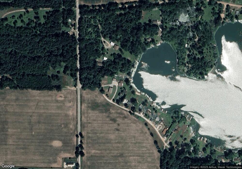
Map
Nearby Homes
- 8941 Kellogg Dr
- 9055 Kellogg Dr
- 9059 Kellogg Dr
- 8875 Kellogg Dr
- 9180 Arkansaw Rd
- 3870 Rus Dic Dr
- 5160 Quackenbush Rd
- 4111 Blair Rd
- 6331 Bacon Rd
- 5100 Long Lake Rd
- 2520 S Sand Lake Rd
- 2201 S Sand Lake Rd
- 123 N Main St
- 0 W Silver St Unit 25044322
- 108 Lynn St
- 4048 Bankers Rd
- 309 S Main St
- V L Long Lake Rd
- V/L Long Lake Rd
- 4300 W Bacon Rd
- 8430 Sunset Rd
- 8420 Sunset Rd
- 8388 Sunset Rd
- 8425 Lake Rd
- 8376 Sunset Rd
- 8455 Lake Rd
- 8376 Sunset Dr
- 8370 Sunset Rd
- 8366 Sunset Rd
- 1933 S Allen Rd Unit S
- 8360 Sunset Rd
- 8350 Sunset Rd
- 8332 Sunset Rd
- 1421 N Sunset Rd
- 8340 Sunset Rd
- 8340 N Sunset Rd
- 8320 Sunset Rd
- 1381 N Sunset Rd
- 8300 N Sunset Rd
- 8300 Sunset Rd
Your Personal Tour Guide
Ask me questions while you tour the home.