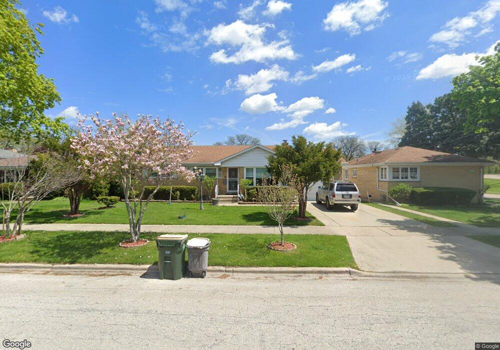
8433 Mango Ave Morton Grove, IL 60053
Estimated Value: $423,000 - $525,000
3
Beds
2
Baths
1,515
Sq Ft
$311/Sq Ft
Est. Value
About This Home
This home is located at 8433 Mango Ave, Morton Grove, IL 60053 and is currently estimated at $470,924, approximately $310 per square foot. 8433 Mango Ave is a home located in Cook County with nearby schools including Park View Elementary School, Niles West High School, and Arie Crown Hebrew Day School.
Ownership History
Date
Name
Owned For
Owner Type
Purchase Details
Closed on
Nov 21, 1994
Sold by
Lee Kang Myung and Lee Kyung Hee
Bought by
Akintunde Michael O and Akintunde Joy O
Current Estimated Value
Home Financials for this Owner
Home Financials are based on the most recent Mortgage that was taken out on this home.
Original Mortgage
$160,000
Interest Rate
9%
Create a Home Valuation Report for This Property
The Home Valuation Report is an in-depth analysis detailing your home's value as well as a comparison with similar homes in the area
Home Values in the Area
Average Home Value in this Area
Purchase History
| Date | Buyer | Sale Price | Title Company |
|---|---|---|---|
| Akintunde Michael O | $178,000 | Attorneys Natl Title Network |
Source: Public Records
Mortgage History
| Date | Status | Borrower | Loan Amount |
|---|---|---|---|
| Closed | Akintunde Michael O | $160,000 |
Source: Public Records
Tax History Compared to Growth
Tax History
| Year | Tax Paid | Tax Assessment Tax Assessment Total Assessment is a certain percentage of the fair market value that is determined by local assessors to be the total taxable value of land and additions on the property. | Land | Improvement |
|---|---|---|---|---|
| 2024 | $8,294 | $34,683 | $10,639 | $24,044 |
| 2023 | $7,850 | $34,683 | $10,639 | $24,044 |
| 2022 | $7,850 | $34,683 | $10,639 | $24,044 |
| 2021 | $6,709 | $26,912 | $6,547 | $20,365 |
| 2020 | $6,659 | $26,912 | $6,547 | $20,365 |
| 2019 | $6,738 | $30,239 | $6,547 | $23,692 |
| 2018 | $6,857 | $27,915 | $5,933 | $21,982 |
| 2017 | $6,943 | $27,915 | $5,933 | $21,982 |
| 2016 | $7,668 | $29,870 | $5,933 | $23,937 |
| 2015 | $6,653 | $25,143 | $5,115 | $20,028 |
| 2014 | $8,094 | $25,143 | $5,115 | $20,028 |
| 2013 | $6,491 | $25,143 | $5,115 | $20,028 |
Source: Public Records
Map
Nearby Homes
- 5510 Lincoln Ave Unit B301
- 5510 Lincoln Ave Unit B101
- 5506 Lincoln Ave Unit A117
- 5506 Lincoln Ave Unit A216
- 8306 Central Ave
- 5501 Lincoln Ave Unit 203
- 5500 Lincoln Ave Unit 407W
- 5500 Lincoln Ave Unit 116E
- 5500 Lincoln Ave Unit 109W
- 8541 Lotus Ave Unit 914
- 8708 Central Ave
- 6035 Lincoln Ave
- 8655 Harms Rd
- 8464 Gross Point Rd
- 8461 Gross Point Rd
- 8841 Menard Ave
- 8836 Mansfield Ave
- 6140 Elm St
- 6166 Mayfair St Unit 33714
- 5309 Crain St
- 8429 Mango Ave
- 8437 Mango Ave
- 8443 Mango Ave
- 8443 Mango Ave
- 8430 Major Ave
- 8434 Major Ave
- 8449 Mango Ave
- 8449 Mango Ave
- 8440 Major Ave
- 5728 Lincoln Ave
- 8446 Major Ave
- 8436 Mango Ave
- 5736 Lincoln Ave
- 8440 Mango Ave
- 8450 Major Ave
- 5740 Lincoln Ave
- 8446 Mango Ave
- 5744 Lincoln Ave
- 5748 Lincoln Ave
- 8410 Mango Ave