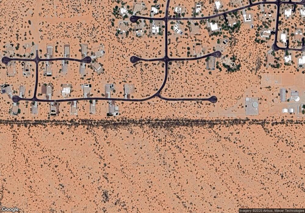
8435 W Finger Aloe St Unit 51 Picture Rocks, AZ 85743
Picture Rocks Neighborhood
--
Bed
--
Bath
46,174
Sq Ft
1.06
Acres
About This Home
This home is located at 8435 W Finger Aloe St Unit 51, Picture Rocks, AZ 85743. 8435 W Finger Aloe St Unit 51 is a home located in Pima County with nearby schools including Desert Winds Elementary School, Marana Middle School, and Marana High School.
Create a Home Valuation Report for This Property
The Home Valuation Report is an in-depth analysis detailing your home's value as well as a comparison with similar homes in the area
Home Values in the Area
Average Home Value in this Area
Tax History Compared to Growth
Map
Nearby Homes
- 13204 W Tiger Aloe Place
- 13133 W Blue Yucca Place
- 14160 W Magee Rd Unit 4/
- 9200 N Clayton Place
- 12285 W Windchime Dr
- 7697 N Steele Dr
- 7620 N Steele Dr
- +/135acres W Twin Peaks Rd
- 13400 W Twin Peaks Rd
- +/-135acre W Twin Peaks & Clayton Roads
- 14313 W Magee Rd Unit 1
- 12486 W Picture Rocks Rd
- 12180 W Camper Rd
- 7145 N Picture Place
- 12490 W Picture Rocks Rd
- 11628 W Cloud View Place
- 11891 W Ina Rd
- 14555 W Desert Owl Way
- 11467 W Anthony Dr
- 6979 N Boswell Ln
- 13115 W Finger Aloe St Unit 50
- 8431 N Finger Aloe Place
- 8432 N Finger Aloe Place
- 13116 W Finger Aloe St Unit 164
- 8427 N Finger Aloe Place
- 13141 W Finger Aloe St Unit Lot 49
- 13071 W Sandhill Sage Place Unit 57
- 8428 N Finger Aloe Place
- 13039 W Sandhill Sage Place
- 13039 W Sandhill Sage Place Unit 58
- 10372 W Sandhill Sage Place Unit 63
- 13173 W Finger Aloe St
- 13013 W Sandhill Sage Place
- 13098 W Sandhill Sage Place Unit 170
- 13137 W Sandhill Sage Place Unit 167
- 13180 W Finger Aloe St
- 8420 Via Cielo Vasto N
- 13032 W Sandhill Sage Place
- 13132 W Sandhill Sage Place Unit 169
- 12995 W Sandhill Sage Place