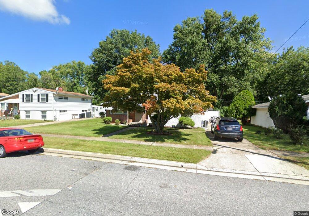
8438 Allenswood Rd Randallstown, MD 21133
Estimated Value: $281,057 - $343,000
--
Bed
2
Baths
1,720
Sq Ft
$185/Sq Ft
Est. Value
About This Home
This home is located at 8438 Allenswood Rd, Randallstown, MD 21133 and is currently estimated at $317,514, approximately $184 per square foot. 8438 Allenswood Rd is a home located in Baltimore County with nearby schools including Church Lane Elementary Technology School, Northwest Academy of Health Sciences, and Randallstown High School.
Ownership History
Date
Name
Owned For
Owner Type
Purchase Details
Closed on
Aug 28, 1992
Sold by
Cohen Joel S
Bought by
Green Eva M
Current Estimated Value
Create a Home Valuation Report for This Property
The Home Valuation Report is an in-depth analysis detailing your home's value as well as a comparison with similar homes in the area
Home Values in the Area
Average Home Value in this Area
Purchase History
| Date | Buyer | Sale Price | Title Company |
|---|---|---|---|
| Green Eva M | $94,000 | -- |
Source: Public Records
Tax History Compared to Growth
Tax History
| Year | Tax Paid | Tax Assessment Tax Assessment Total Assessment is a certain percentage of the fair market value that is determined by local assessors to be the total taxable value of land and additions on the property. | Land | Improvement |
|---|---|---|---|---|
| 2025 | $3,480 | $242,100 | -- | -- |
| 2024 | $3,480 | $228,000 | $74,100 | $153,900 |
| 2023 | $1,720 | $216,367 | $0 | $0 |
| 2022 | $3,127 | $204,733 | $0 | $0 |
| 2021 | $3,009 | $193,100 | $56,100 | $137,000 |
| 2020 | $3,009 | $188,767 | $0 | $0 |
| 2019 | $2,822 | $184,433 | $0 | $0 |
| 2018 | $2,723 | $180,100 | $56,100 | $124,000 |
| 2017 | $2,563 | $167,600 | $0 | $0 |
| 2016 | $2,159 | $155,100 | $0 | $0 |
| 2015 | $2,159 | $142,600 | $0 | $0 |
| 2014 | $2,159 | $142,600 | $0 | $0 |
Source: Public Records
Map
Nearby Homes
- 4818 Oakland Park Rd
- 4934 Old Court Rd
- 4816 Valley Forge Rd
- 4812 Valley Forge Rd
- 8513 Charlton Rd
- 8541 Lucerne Rd
- 8403 Downey Dale Dr
- 3646 Clifmar Rd
- 4105 Winterhazel Rd
- 4734 Maryknoll Rd
- 8500 Bridalwreath Way
- 4712 Old Court Rd
- 4001 Starbrook Rd
- 3924 Rolling Rd
- 8400 Liberty Rd
- 13 Al Hannah Cir
- 8206 Arrowhead Rd
- 3659 Brenbrook Dr
- 8829 Sigrid Rd
- 8205 Knights Way
- 8436 Allenswood Rd
- 8440 Allenswood Rd
- 8434 Allenswood Rd
- 8442 Allenswood Rd
- 8432 Allenswood Rd
- 8431 Allenswood Rd
- 8429 Allenswood Rd
- 8444 Allenswood Rd
- 8433 Allenswood Rd
- 8427 Allenswood Rd
- 8435 Allenswood Rd
- 8430 Allenswood Rd
- 8437 Allenswood Rd
- 8446 Allenswood Rd
- 8425 Allenswood Rd
- 8428 Allenswood Rd
- 8439 Allenswood Rd
- 8402 Billson Rd
- 8406 Billson Rd
- 8404 Billson Rd