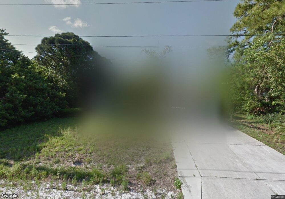
8439 Malcolm Ave North Port, FL 34287
Estimated Value: $263,407 - $347,000
3
Beds
2
Baths
1,676
Sq Ft
$186/Sq Ft
Est. Value
About This Home
This home is located at 8439 Malcolm Ave, North Port, FL 34287 and is currently estimated at $311,102, approximately $185 per square foot. 8439 Malcolm Ave is a home located in Sarasota County with nearby schools including Glenallen Elementary School, North Port High School, and Heron Creek Middle School.
Ownership History
Date
Name
Owned For
Owner Type
Purchase Details
Closed on
May 4, 2006
Sold by
Sprague Michael J
Bought by
Sprague Hornsby Karen E
Current Estimated Value
Purchase Details
Closed on
Nov 5, 2002
Sold by
Sprague Michael J
Bought by
Sprague Karen E
Purchase Details
Closed on
Jun 11, 1999
Sold by
Dutton Robert C
Bought by
Sprague Michael J and Sprague Karen E
Home Financials for this Owner
Home Financials are based on the most recent Mortgage that was taken out on this home.
Original Mortgage
$92,000
Interest Rate
7.04%
Create a Home Valuation Report for This Property
The Home Valuation Report is an in-depth analysis detailing your home's value as well as a comparison with similar homes in the area
Home Values in the Area
Average Home Value in this Area
Purchase History
| Date | Buyer | Sale Price | Title Company |
|---|---|---|---|
| Sprague Hornsby Karen E | -- | Attorney | |
| Sprague Karen E | -- | -- | |
| Sprague Michael J | $115,000 | -- | |
| Sprague Michael J | $115,000 | -- |
Source: Public Records
Mortgage History
| Date | Status | Borrower | Loan Amount |
|---|---|---|---|
| Previous Owner | Sprague Michael J | $92,000 |
Source: Public Records
Tax History Compared to Growth
Tax History
| Year | Tax Paid | Tax Assessment Tax Assessment Total Assessment is a certain percentage of the fair market value that is determined by local assessors to be the total taxable value of land and additions on the property. | Land | Improvement |
|---|---|---|---|---|
| 2024 | $2,813 | $181,588 | -- | -- |
| 2023 | $2,813 | $176,299 | $0 | $0 |
| 2022 | $2,728 | $171,164 | $0 | $0 |
| 2021 | $2,704 | $166,179 | $0 | $0 |
| 2020 | $2,677 | $163,885 | $0 | $0 |
| 2019 | $2,591 | $160,200 | $8,900 | $151,300 |
| 2018 | $2,837 | $146,300 | $8,400 | $137,900 |
| 2017 | $2,693 | $132,680 | $0 | $0 |
| 2016 | $2,539 | $133,500 | $4,900 | $128,600 |
| 2015 | $2,288 | $106,200 | $4,500 | $101,700 |
| 2014 | $2,181 | $85,690 | $0 | $0 |
Source: Public Records
Map
Nearby Homes
- 0 Dolomite Ave Unit MFRA4615784
- 0 Norbert Ave Unit MFRA4630785
- LOT 10 Octavius Ave
- 8444 Octavius Ave
- 1372 S Hartsdale St
- 0 Lancelot Ave Unit MFRC7475995
- Lot 8 Lipscomb St
- 8849 Attalla Ave
- 0972169150 Raoul Ave
- Lot 15 Attalla Ave
- LOT 12 Attalla Ave
- 8315 Raoul Ave
- LOT 28 Florala St
- 0 Waltrip St
- 1803 Amato St
- LOT 17 Karluk St
- 0 Karluk St Unit 315085
- 0 N Biscayne Dr Unit A4560392
- 1554 Karluk St
- 0 Selover Rd Unit MFRC7513382
- 8449 Malcolm Ave
- 8908 Leopold Ave
- 8420 Malcolm Ave
- 8460 Malcolm Ave
- 8878 Leopold Ave
- 8441 Norbert Ave
- 8848 Leopold Ave
- 8470 S Malcolm Ave
- 8421 Norbert Ave
- 8984 Leopold Ave
- 8489 Malcolm Ave
- 8390 Malcolm Ave
- 8411 Norbert Ave
- 8481 Norbert Ave
- 8877 Leopold Ave
- 8380 Malcolm Ave
- Lot 26 Norbert Ave
- 8847 Leopold Ave
- 0 S Calera St Unit D5919996
- 8442 Norbert Ave
