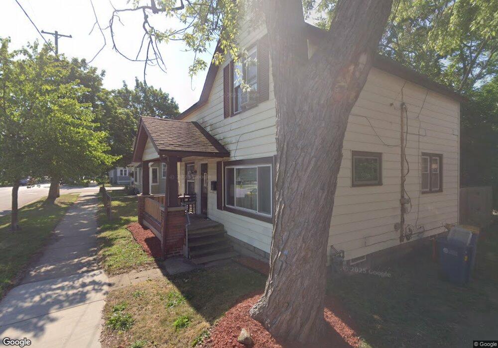
844 12th St NW Grand Rapids, MI 49504
West Grand NeighborhoodEstimated Value: $203,512 - $232,000
3
Beds
1
Bath
1,251
Sq Ft
$176/Sq Ft
Est. Value
About This Home
This home is located at 844 12th St NW, Grand Rapids, MI 49504 and is currently estimated at $220,378, approximately $176 per square foot. 844 12th St NW is a home located in Kent County with nearby schools including Westwood Middle School, Union High School, and NexTech High School.
Ownership History
Date
Name
Owned For
Owner Type
Purchase Details
Closed on
Mar 30, 2004
Sold by
Brink Daniel R and Brink Mary L
Bought by
844 12Th Street Llc
Current Estimated Value
Purchase Details
Closed on
Dec 4, 1997
Bought by
Danmar Properties Lc
Purchase Details
Closed on
Jan 30, 1992
Sold by
Saladino Saladino L L and Saladino Brink D
Bought by
844 12Th Street Llc
Purchase Details
Closed on
Nov 4, 1987
Purchase Details
Closed on
May 29, 1984
Create a Home Valuation Report for This Property
The Home Valuation Report is an in-depth analysis detailing your home's value as well as a comparison with similar homes in the area
Home Values in the Area
Average Home Value in this Area
Purchase History
| Date | Buyer | Sale Price | Title Company |
|---|---|---|---|
| 844 12Th Street Llc | -- | -- | |
| Danmar Properties Lc | -- | -- | |
| 844 12Th Street Llc | $27,000 | -- | |
| -- | $15,900 | -- | |
| -- | $27,000 | -- |
Source: Public Records
Tax History Compared to Growth
Tax History
| Year | Tax Paid | Tax Assessment Tax Assessment Total Assessment is a certain percentage of the fair market value that is determined by local assessors to be the total taxable value of land and additions on the property. | Land | Improvement |
|---|---|---|---|---|
| 2025 | $1,311 | $81,300 | $0 | $0 |
| 2024 | $1,311 | $70,700 | $0 | $0 |
| 2023 | $1,301 | $59,900 | $0 | $0 |
| 2022 | $1,236 | $52,000 | $0 | $0 |
| 2021 | $1,205 | $47,600 | $0 | $0 |
| 2020 | $1,164 | $41,700 | $0 | $0 |
| 2019 | $1,192 | $37,400 | $0 | $0 |
| 2018 | $1,156 | $31,200 | $0 | $0 |
| 2017 | $1,127 | $25,300 | $0 | $0 |
| 2016 | $1,133 | $22,000 | $0 | $0 |
| 2015 | $1,039 | $22,000 | $0 | $0 |
| 2013 | -- | $19,800 | $0 | $0 |
Source: Public Records
Map
Nearby Homes
- 1027 Jennette Ave NW
- 1032 Jennette Ave NW
- 1014 Jennette Ave NW
- 936 Mcreynolds Ave NW
- 705 11th St NW
- 855 Alpine Ave NW
- 1020 10th St NW
- 914 Courtney St NW
- 638 11th St NW
- 1044 Muskegon Ave NW Unit 1 & 2
- 734 Crosby St NW
- 964 Lincoln Ave NW
- 1115 Atlantic St NW
- 912 Arianna St NW
- 1253 Muskegon Ave NW
- 1054 Crosby St NW
- 941 Arianna St NW
- 1200 Leonard St NW
- 1105 Crosby St NW
- 1011 Hamilton Ave NW
- 1055 Jennette Ave NW
- 1051 Jennette Ave NW
- 850 12th St NW
- 1047 Jennette Ave NW
- 852 12th St NW
- 1045 Jennette Ave NW
- 1101 Jennette Ave NW
- 1101 Jennette Ave NW Unit 1
- 858 12th St NW
- 1100 Fremont Ave NW
- 1042 Fremont Ave NW
- 1043 Jennette Ave NW
- 1104 Fremont Ave NW
- 1038 Fremont Ave NW
- 1037 Jennette Ave NW
- 1054 Jennette Ave NW
- 1109 Jennette Ave NW
- 1109 Jennette Ave NW Unit 1
- 0 Fremont Ave NW
- 670674 Fremont Ave NW