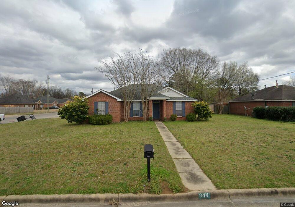
844 Brookland Curve Montgomery, AL 36117
East Montgomery NeighborhoodEstimated Value: $192,000 - $246,009
5
Beds
2
Baths
1,837
Sq Ft
$116/Sq Ft
Est. Value
About This Home
This home is located at 844 Brookland Curve, Montgomery, AL 36117 and is currently estimated at $213,252, approximately $116 per square foot. 844 Brookland Curve is a home with nearby schools including William Silas Garrett Elementary School, Goodwyn Middle School, and Dr. Percy L. Julian High School.
Ownership History
Date
Name
Owned For
Owner Type
Purchase Details
Closed on
Jul 11, 2000
Sold by
Odle Susan M and Odle Floyd Dean
Bought by
Ladner R Martin and Ladner Ann Marie C
Current Estimated Value
Home Financials for this Owner
Home Financials are based on the most recent Mortgage that was taken out on this home.
Original Mortgage
$112,100
Outstanding Balance
$40,880
Interest Rate
8.5%
Estimated Equity
$172,372
Create a Home Valuation Report for This Property
The Home Valuation Report is an in-depth analysis detailing your home's value as well as a comparison with similar homes in the area
Home Values in the Area
Average Home Value in this Area
Purchase History
| Date | Buyer | Sale Price | Title Company |
|---|---|---|---|
| Ladner R Martin | $118,000 | -- |
Source: Public Records
Mortgage History
| Date | Status | Borrower | Loan Amount |
|---|---|---|---|
| Open | Ladner R Martin | $112,100 |
Source: Public Records
Tax History Compared to Growth
Tax History
| Year | Tax Paid | Tax Assessment Tax Assessment Total Assessment is a certain percentage of the fair market value that is determined by local assessors to be the total taxable value of land and additions on the property. | Land | Improvement |
|---|---|---|---|---|
| 2025 | $1,068 | $25,540 | $2,500 | $23,040 |
| 2024 | $1,041 | $24,890 | $2,500 | $22,390 |
| 2023 | $1,041 | $22,800 | $2,500 | $20,300 |
| 2022 | $544 | $18,610 | $2,500 | $16,110 |
| 2021 | $475 | $16,340 | $0 | $0 |
| 2020 | $475 | $16,340 | $2,500 | $13,840 |
| 2019 | $528 | $15,590 | $2,500 | $13,090 |
| 2018 | $566 | $15,510 | $2,500 | $13,010 |
| 2017 | $511 | $30,220 | $5,000 | $25,220 |
| 2014 | $527 | $15,560 | $2,500 | $13,060 |
| 2013 | -- | $16,470 | $2,500 | $13,970 |
Source: Public Records
Map
Nearby Homes
- 925 Brookland Curve
- 6429 Sandy Ridge Curve
- 6500 Sweet Gum Dr
- 5728 Sweet Meadow Dr
- 1308 Dunbarton Rd
- 5805 Acacia Ct
- 5701 Bangor Ct
- 970 Countryside Ln
- 6104 Bald Cypress Ct
- 5821 Hyde Park Dr
- 1308 Pondcypress Dr
- 709 Balfour Rd
- 767 N Burbank Dr
- 749 Amity Ln
- 6201 Dalford Dr
- 6241 Wares Ferry Rd
- 740 Havelock Ln
- 6520 Pinebrook Dr
- 5737 Darien Dr
- 5743 Belleau Dr
- 838 Brookland Curve
- 6204 Sandy Ridge Curve
- 832 Brookland Curve
- 850 Brookland Curve
- 839 Brookland Curve
- 6208 Sandy Ridge Curve
- 845 Brookland Curve
- 833 Brookland Curve
- 826 Brookland Curve
- 851 Brookland Curve
- 6205 Sandy Ridge Curve
- 6301 Sonnie Ct
- 827 Brookland Curve
- 856 Brookland Curve
- 6212 Sandy Ridge Curve
- 6209 Sandy Ridge Curve
- 6305 Sonnie Ct
- 820 Brookland Curve
- 6213 Sandy Ridge Curve
- 6216 Sandy Ridge Curve