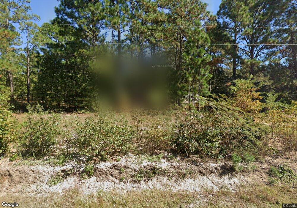
844 Leslie Branham Rd Lugoff, SC 29078
Estimated Value: $158,533 - $252,000
--
Bed
--
Bath
1,260
Sq Ft
$172/Sq Ft
Est. Value
About This Home
This home is located at 844 Leslie Branham Rd, Lugoff, SC 29078 and is currently estimated at $216,133, approximately $171 per square foot. 844 Leslie Branham Rd is a home located in Kershaw County with nearby schools including Doby's Mill Elementary School, Leslie M. Stover Middle School, and Lugoff-Elgin High School.
Ownership History
Date
Name
Owned For
Owner Type
Purchase Details
Closed on
Oct 9, 2018
Sold by
Gene Reynolds Terry
Bought by
Reynolds Paula Jean and Reynolds Terrance
Current Estimated Value
Purchase Details
Closed on
Oct 4, 2018
Sold by
Gene Reynolds Terry
Bought by
Reynolds Paula Jean and Reynolds Terrance
Purchase Details
Closed on
Nov 21, 2013
Sold by
Reynolds Janie Ruth B
Bought by
Reynolds Terry Gene
Create a Home Valuation Report for This Property
The Home Valuation Report is an in-depth analysis detailing your home's value as well as a comparison with similar homes in the area
Home Values in the Area
Average Home Value in this Area
Purchase History
| Date | Buyer | Sale Price | Title Company |
|---|---|---|---|
| Reynolds Paula Jean | -- | Connell Law Firm Llc | |
| Reynolds Paula Jean | -- | Connell Law Firm Llc | |
| Reynolds Terry Gene | -- | -- |
Source: Public Records
Tax History Compared to Growth
Tax History
| Year | Tax Paid | Tax Assessment Tax Assessment Total Assessment is a certain percentage of the fair market value that is determined by local assessors to be the total taxable value of land and additions on the property. | Land | Improvement |
|---|---|---|---|---|
| 2024 | $1,056 | $53,200 | $20,800 | $32,400 |
| 2023 | $213 | $53,200 | $20,800 | $32,400 |
| 2022 | $1,043 | $53,200 | $20,800 | $32,400 |
| 2021 | $982 | $53,200 | $20,800 | $32,400 |
| 2020 | $845 | $40,300 | $12,800 | $27,500 |
| 2019 | $1,081 | $57,500 | $30,000 | $27,500 |
| 2018 | $1,134 | $57,500 | $30,000 | $27,500 |
| 2017 | $1,121 | $57,500 | $30,000 | $27,500 |
| 2016 | $1,030 | $53,000 | $24,000 | $29,000 |
| 2015 | $173 | $53,000 | $24,000 | $29,000 |
| 2014 | $173 | $0 | $0 | $0 |
Source: Public Records
Map
Nearby Homes
- 76 Smokewood Dr
- 67 Smokewood Dr
- 21 Smokewood Dr
- 603 Railgate Loop
- 27 Driftwood Ave
- 71 Kimpton Dr
- 970 Leslie Branham Rd
- 28 Briar Forest Dr
- 125 Rippling Way
- 166 Rippling Way
- 149 Rippling Way
- 1035 Donna Dr
- 2140 Highway 1 S
- 2174 Highway 1 S
- 1003 Watson Dr
- 1015 B Elgin Estates Dr
- 2206 Route 1
- 44 Harvest Lake Dr
- 2206 Highway 1 S
- 480 Eskie Dixon Rd
- 845 Leslie Branham Rd
- 131 Leslie Branham Rd
- 837B Leslie Branham Rd
- 857 Leslie Branham Rd
- 12 Freehold Ct
- 10 Freehold Ct
- 702 Leslie Branham Rd
- 13 Freehold Ct
- 6 Freehold Ct
- 865 Leslie Branham Rd
- 11 Freehold Ct
- 821 Leslie Branham Rd
- 834 Leslie Branham Rd
- 802 Leslie Branham Rd
- 822 Leslie Branham Rd
- 818 Leslie Branham Rd
- 810 Leslie Branham Rd
- 7 Freehold Ct
- 10 Kimpton Dr
- 2 Freehold Ct