Estimated Value: $1,038,000 - $1,166,000
4
Beds
4
Baths
2,906
Sq Ft
$378/Sq Ft
Est. Value
About This Home
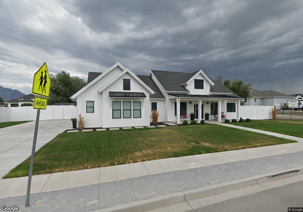
This home is located at 844 N 1700 W Unit 21, Lehi, UT 84043 and is currently estimated at $1,097,453, approximately $377 per square foot. 844 N 1700 W Unit 21 is a home located in Utah County with nearby schools including River Rock Elementary, Willowcreek Middle School, and Lehi High School.
Ownership History
Date
Name
Owned For
Owner Type
Purchase Details
Closed on
Jul 20, 2023
Sold by
Peterson Kimberli
Bought by
Kimberli Peterson Living Trust and Peterson
Current Estimated Value
Purchase Details
Closed on
Jun 24, 2019
Sold by
Peterson Kathleen and Peterson Kimberli
Bought by
Peterson Kimberli and Peterson Kathleen
Home Financials for this Owner
Home Financials are based on the most recent Mortgage that was taken out on this home.
Original Mortgage
$453,000
Interest Rate
4.1%
Mortgage Type
Construction
Purchase Details
Closed on
May 2, 2019
Sold by
Bates Matthew and Bates Emily
Bought by
Peterson Kathleen and Peterson Kimberly
Home Financials for this Owner
Home Financials are based on the most recent Mortgage that was taken out on this home.
Original Mortgage
$453,000
Interest Rate
4.1%
Mortgage Type
Construction
Purchase Details
Closed on
Jul 9, 2018
Sold by
Bates Matthew
Bought by
Bates Matthew and Bates Emily
Home Financials for this Owner
Home Financials are based on the most recent Mortgage that was taken out on this home.
Original Mortgage
$156,000
Interest Rate
4.6%
Mortgage Type
New Conventional
Create a Home Valuation Report for This Property
The Home Valuation Report is an in-depth analysis detailing your home's value as well as a comparison with similar homes in the area
Home Values in the Area
Average Home Value in this Area
Purchase History
| Date | Buyer | Sale Price | Title Company |
|---|---|---|---|
| Kimberli Peterson Living Trust | -- | None Listed On Document | |
| Peterson Kimberli | -- | None Available | |
| Peterson Kathleen | -- | Charger Title | |
| Bates Matthew | -- | Accommodation | |
| Bates Matthew | -- | None Available |
Source: Public Records
Mortgage History
| Date | Status | Borrower | Loan Amount |
|---|---|---|---|
| Previous Owner | Peterson Kimberli | $453,000 | |
| Previous Owner | Bates Matthew | $156,000 |
Source: Public Records
Tax History Compared to Growth
Tax History
| Year | Tax Paid | Tax Assessment Tax Assessment Total Assessment is a certain percentage of the fair market value that is determined by local assessors to be the total taxable value of land and additions on the property. | Land | Improvement |
|---|---|---|---|---|
| 2025 | $3,810 | $507,815 | $387,800 | $535,500 |
| 2024 | $3,810 | $445,830 | $0 | $0 |
| 2023 | $3,510 | $446,050 | $0 | $0 |
| 2022 | $3,780 | $465,685 | $0 | $0 |
| 2021 | $3,339 | $621,900 | $224,400 | $397,500 |
| 2020 | $3,106 | $571,800 | $207,800 | $364,000 |
| 2019 | $1,974 | $207,800 | $207,800 | $0 |
| 2018 | $2,043 | $203,300 | $203,300 | $0 |
| 2017 | $1,879 | $180,700 | $0 | $0 |
Source: Public Records
Map
Nearby Homes
- 1127 N 1500 W
- 1032 Titan Dr
- 1132 Titan Dr
- 1627 W Boxwood Dr Unit 110
- 1659 W Boxwood Dr Unit 109
- 1332 W 1500 N
- 1542 N 1900 W
- 1094 W 1425 N
- 1301 N 900 W Unit 12
- 2512 W 610 N Unit 99
- 1302 N 2450 W
- 578 N Woods Dr
- 2162 W Main St Unit E303
- 2178 W Main St Unit D301
- 373 N Willow Haven Ave
- 41 N 2150 W
- 131 S 1900 W Unit 2
- 1610 N 1125 W
- 161 S 1475 W
- 1249 W 1800 N
- 844 N 1700 W
- 1674 W 800 N
- 1646 W 800 N Unit 23
- 866 N 1700 W Unit 22
- 9000 N 9150 W
- 9087 N 9150 W
- 1622 W 800 N Unit 24
- 1625 W 900 N
- 1671 W 800 N Unit 19
- 1643 W 800 N Unit 18
- 1598 W 800 N Unit 25
- 1598 W 800 N
- 1601 W 900 N Unit 30
- 1617 W 800 N Unit 17
- 1617 W 800 N
- 1678 900 N
- 1656 W 900 N Unit 6
- 1678 W 900 N Unit 5
- 1678 W 900 N
- 1595 W 800 N Unit 15