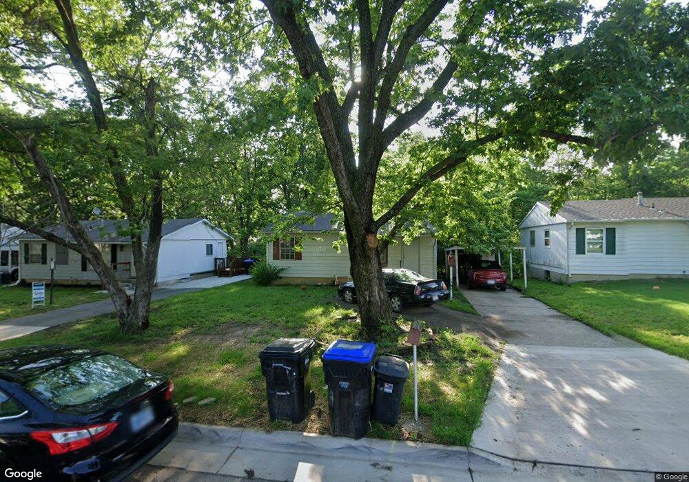
844 SE Brookside Dr Topeka, KS 66607
East End NeighborhoodEstimated Value: $92,291 - $102,000
3
Beds
1
Bath
825
Sq Ft
$117/Sq Ft
Est. Value
About This Home
This home is located at 844 SE Brookside Dr, Topeka, KS 66607 and is currently estimated at $96,823, approximately $117 per square foot. 844 SE Brookside Dr is a home located in Shawnee County with nearby schools including Tecumseh North Elementary School, Shawnee Heights Middle School, and Shawnee Heights High School.
Ownership History
Date
Name
Owned For
Owner Type
Purchase Details
Closed on
Apr 24, 2007
Sold by
Hsbc Bank Usa Na
Bought by
Bervert Tim and Bervert Julie
Current Estimated Value
Home Financials for this Owner
Home Financials are based on the most recent Mortgage that was taken out on this home.
Original Mortgage
$35,000
Outstanding Balance
$21,185
Interest Rate
6.17%
Mortgage Type
Future Advance Clause Open End Mortgage
Estimated Equity
$75,638
Purchase Details
Closed on
Dec 1, 2006
Sold by
Phillips Ricky
Bought by
Hsbc Bank Usa Na
Create a Home Valuation Report for This Property
The Home Valuation Report is an in-depth analysis detailing your home's value as well as a comparison with similar homes in the area
Home Values in the Area
Average Home Value in this Area
Purchase History
| Date | Buyer | Sale Price | Title Company |
|---|---|---|---|
| Bervert Tim | -- | Mo Kan Title Services Inc | |
| Hsbc Bank Usa Na | $53,572 | None Available |
Source: Public Records
Mortgage History
| Date | Status | Borrower | Loan Amount |
|---|---|---|---|
| Open | Bervert Tim | $35,000 |
Source: Public Records
Tax History
| Year | Tax Paid | Tax Assessment Tax Assessment Total Assessment is a certain percentage of the fair market value that is determined by local assessors to be the total taxable value of land and additions on the property. | Land | Improvement |
|---|---|---|---|---|
| 2025 | $1,161 | $8,877 | -- | -- |
| 2023 | $1,161 | $8,052 | $0 | $0 |
| 2022 | $1,037 | $7,063 | $0 | $0 |
| 2021 | $958 | $6,142 | $0 | $0 |
| 2020 | $911 | $5,963 | $0 | $0 |
| 2019 | $888 | $5,789 | $0 | $0 |
| 2018 | $858 | $5,675 | $0 | $0 |
| 2017 | $867 | $5,675 | $0 | $0 |
| 2014 | $864 | $5,675 | $0 | $0 |
Source: Public Records
Map
Nearby Homes
- 841 SE Brookside Dr
- 505 SE Fairfax St
- 247 SE Croco Rd
- 3321 SE 23rd St
- 836 SE Highland Ave
- 2405 SE Saturn Dr
- 000 SE Saturn Dr
- 2331 SE Libra Ave
- 2307 SE Capricorn Ave
- 3317 SE Virgo Ave Unit Lot 3, Block I
- 3324 SE Howard Dr Unit Lot 12, Block E
- 2716 NE Seward Ave
- 429 SE California Ave Unit 431 SE California Av
- 2133 SE Market St
- 2208 SE Market St
- 4038 SE Howard Dr
- 2104 SE California Ave
- 500 NE Wabash Ave
- 509 SE Lafayette St
- 4330 SE 25th St
- 840 SE Brookside Dr
- 848 SE Brookside Dr
- 852 SE Brookside Dr
- 836 SE Brookside Dr
- 841 SE Eastgate Dr
- 845 SE Eastgate Dr
- 856 SE Brookside Dr
- 832 SE Brookside Dr
- 837 SE Eastgate Dr
- 845 SE Brookside Dr
- 849 SE Eastgate Dr
- 849 SE Brookside Dr
- 833 SE Eastgate Dr
- 853 SE Brookside Dr
- 837 SE Brookside Dr
- 860 SE Brookside Dr
- 828 SE Brookside Dr
- 853 SE Eastgate Dr
- 857 SE Brookside Dr
- 833 SE Brookside Dr
Your Personal Tour Guide
Ask me questions while you tour the home.