844 Stringer Rd Rockmart, GA 30153
Estimated Value: $327,000 - $422,000
3
Beds
2
Baths
1,792
Sq Ft
$197/Sq Ft
Est. Value
About This Home
This home is located at 844 Stringer Rd, Rockmart, GA 30153 and is currently estimated at $353,832, approximately $197 per square foot. 844 Stringer Rd is a home located in Polk County with nearby schools including Rockmart Middle School.
Ownership History
Date
Name
Owned For
Owner Type
Purchase Details
Closed on
Jun 20, 2000
Sold by
Truett Willie S and Tillman Dawn M
Bought by
Truett Willie S and Truett Dawn M
Current Estimated Value
Purchase Details
Closed on
Mar 30, 1994
Sold by
Robinson Michael J and Robinson Leslie A
Bought by
Truett Willie S and Tillman Dawn M
Purchase Details
Closed on
May 8, 1990
Sold by
Trust Co Bk Nw Ga
Bought by
Robinson Michael J
Purchase Details
Closed on
Jul 2, 1980
Sold by
Stringer Fred
Bought by
Stringer Freddie J
Purchase Details
Closed on
Apr 6, 1979
Sold by
Ingram Bobby
Bought by
Stringer Fred
Purchase Details
Closed on
Apr 18, 1972
Bought by
Ingram Bobby
Create a Home Valuation Report for This Property
The Home Valuation Report is an in-depth analysis detailing your home's value as well as a comparison with similar homes in the area
Purchase History
| Date | Buyer | Sale Price | Title Company |
|---|---|---|---|
| Truett Willie S | -- | -- | |
| Truett Willie S | $58,000 | -- | |
| Robinson Michael J | $50,000 | -- | |
| Stringer Freddie J | -- | -- | |
| Stringer Fred | -- | -- | |
| Ingram Bobby | -- | -- |
Source: Public Records
Tax History
| Year | Tax Paid | Tax Assessment Tax Assessment Total Assessment is a certain percentage of the fair market value that is determined by local assessors to be the total taxable value of land and additions on the property. | Land | Improvement |
|---|---|---|---|---|
| 2025 | $2,568 | $120,788 | $31,322 | $89,466 |
| 2024 | $2,319 | $112,958 | $23,492 | $89,466 |
| 2023 | $1,900 | $82,055 | $23,492 | $58,563 |
| 2022 | $1,531 | $66,528 | $15,661 | $50,867 |
| 2021 | $1,551 | $66,528 | $15,661 | $50,867 |
| 2020 | $1,554 | $66,528 | $15,661 | $50,867 |
| 2019 | $1,588 | $61,142 | $15,661 | $45,481 |
| 2018 | $1,600 | $60,063 | $15,661 | $44,402 |
| 2017 | $1,580 | $60,063 | $15,661 | $44,402 |
| 2016 | $1,504 | $57,270 | $12,869 | $44,402 |
| 2015 | $1,520 | $57,696 | $12,869 | $44,828 |
| 2014 | $1,531 | $57,696 | $12,869 | $44,828 |
Source: Public Records
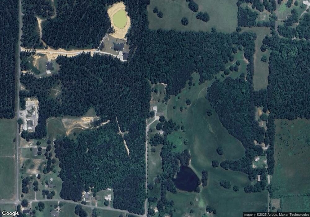
Map
Nearby Homes
- 907 Stringer Rd
- 93 Clay Rd
- 461 Lakeview Rd
- 397 Stringer Rd
- 65 Wheeler Rd
- 957 Bethlehem Rd
- 184 Morgan Ln
- 0 Bethlehem Rd Unit 7730467
- 0 Bethlehem Rd Unit 10705308
- 18 Hillside Dr
- 865 Morgan Valley Rd
- 1714 Cedartown Hwy
- 2056 Bellview Rd
- 60 Lee St
- 2512 Tolbert Town Rd
- 0 Tolbert Town Rd Unit 10640593
- 0 Tolbert Town Rd Unit 7678739
- 11 Lee St
- 3566 Rockmart Hwy
- 92 Autumn Path
- 836 Stringer Rd
- 884 Stringer Rd
- 822 Stringer Rd
- 894 Stringer Rd
- 125 Clay Rd
- 798 Stringer Rd
- 774 Stringer Rd
- 59 Clay Rd
- 903 Stringer Rd
- 419 Zuker Rd
- 944 Stringer Rd
- 415 Zuker Rd
- 941 Stringer Rd
- 795 Stringer Rd
- 722 Stringer Rd
- 966 Stringer Rd
- 706 Stringer Rd
- 805 Stringer Rd
- 256 Pine Rd
- 969 Stringer Rd
Your Personal Tour Guide
Ask me questions while you tour the home.