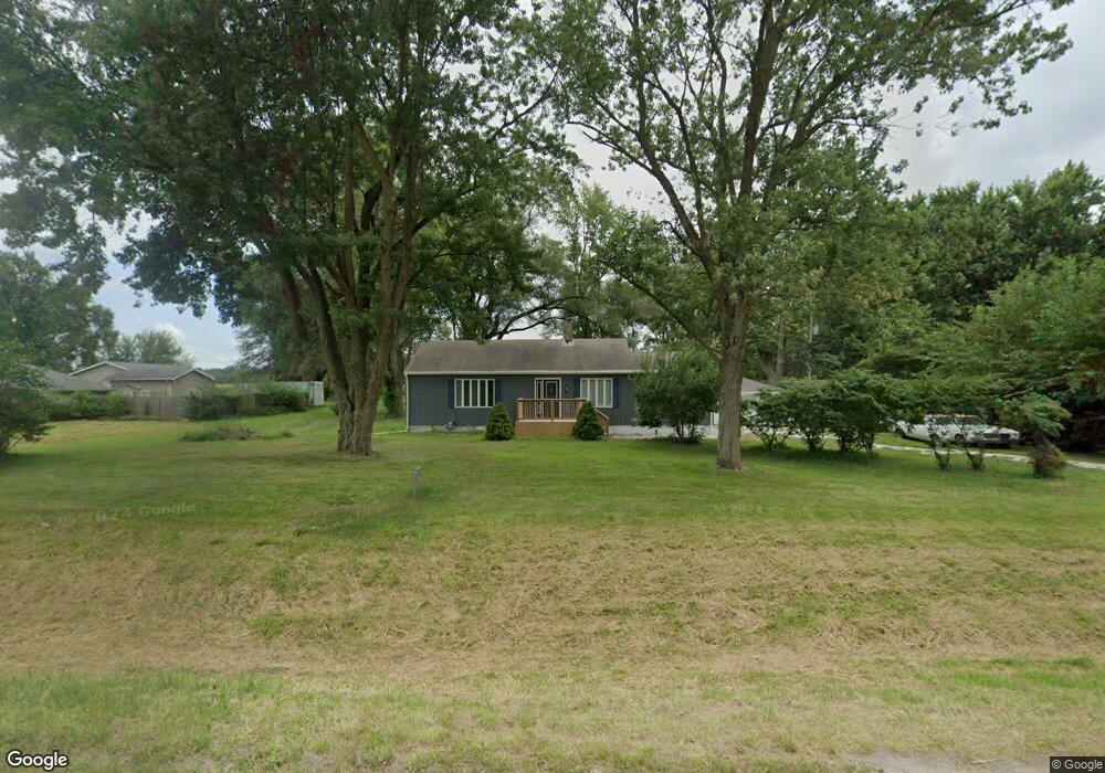
8444A W State Route 17 Kankakee, IL 60901
Estimated Value: $185,000 - $248,000
--
Bed
--
Bath
--
Sq Ft
1
Acres
About This Home
This home is located at 8444A W State Route 17, Kankakee, IL 60901 and is currently estimated at $216,335. 8444A W State Route 17 is a home with nearby schools including Herscher High School.
Ownership History
Date
Name
Owned For
Owner Type
Purchase Details
Closed on
Mar 19, 2024
Sold by
Troester Richard J
Bought by
Williams Johnny R
Current Estimated Value
Home Financials for this Owner
Home Financials are based on the most recent Mortgage that was taken out on this home.
Original Mortgage
$210,000
Outstanding Balance
$207,374
Interest Rate
6.75%
Mortgage Type
VA
Estimated Equity
$8,961
Purchase Details
Closed on
Aug 16, 2023
Sold by
Wood Roger T and Wood Gina M
Bought by
Kirkpatrick Alvin
Create a Home Valuation Report for This Property
The Home Valuation Report is an in-depth analysis detailing your home's value as well as a comparison with similar homes in the area
Home Values in the Area
Average Home Value in this Area
Purchase History
| Date | Buyer | Sale Price | Title Company |
|---|---|---|---|
| Williams Johnny R | $210,000 | None Listed On Document | |
| Kirkpatrick Alvin | $45,000 | Burnet Title |
Source: Public Records
Mortgage History
| Date | Status | Borrower | Loan Amount |
|---|---|---|---|
| Open | Williams Johnny R | $210,000 |
Source: Public Records
Tax History Compared to Growth
Tax History
| Year | Tax Paid | Tax Assessment Tax Assessment Total Assessment is a certain percentage of the fair market value that is determined by local assessors to be the total taxable value of land and additions on the property. | Land | Improvement |
|---|---|---|---|---|
| 2024 | $107 | $29,237 | $8,083 | $21,154 |
| 2023 | $1,944 | $26,944 | $7,449 | $19,495 |
| 2022 | $1,975 | $26,677 | $7,375 | $19,302 |
| 2021 | $1,478 | $25,349 | $7,008 | $18,341 |
| 2020 | $1,843 | $29,823 | $7,008 | $22,815 |
| 2019 | $2,077 | $32,704 | $6,771 | $25,933 |
| 2018 | $1,790 | $28,953 | $6,687 | $22,266 |
| 2017 | $1,736 | $28,178 | $6,508 | $21,670 |
| 2016 | $1,651 | $27,095 | $6,258 | $20,837 |
| 2015 | $1,552 | $26,523 | $5,943 | $20,580 |
| 2014 | $1,492 | $25,751 | $5,770 | $19,981 |
| 2013 | -- | $26,210 | $5,873 | $20,337 |
Source: Public Records
Map
Nearby Homes
- 1359 N 7000 Rd W
- 0 W 3000 Rd N Unit 23921814
- 5690 W State Route 17
- 2414 N 7000w Rd
- 5285 W State Route 17 Unit A
- 10561 W State Route 17
- 5101 W 1000n Rd
- 4052 Foxborough Dr
- 4020 Foxborough Dr
- 4079 Foxwood Dr
- 4015 Foxwood Dr
- 3842 Stone Oaks Dr
- 12710 W 1000n Rd
- 2089 Sunset View Ln
- 4751 N 5500w Rd
- 3267 Edgewater Dr
- 1407 N 2750w Rd
- 2799 Stone Fence Dr
- 4914 W State Route 113
- 2962 Stonefence Dr
- 8444B W State Route 17
- 8444A Illinois 17
- 8396 W State Route 17
- 8372 W State Route 17
- 8492 W State Route 17
- 8344 W State Route 17
- 8342 Rte 17
- 8594 W State Route 17
- 8654 W State Route 17
- 7623 W State Route 17
- 8664 W State Route 17
- 7705 W State Route 17
- 217 N 8000w Rd
- 8718 W State Route 17
- 7545 W State Route 17
- 7573 W State Route 17
- 375 N 8000w Rd
- 8367 W State Route 17
- 163 S 8000w Rd
- 57 S 8000w Rd