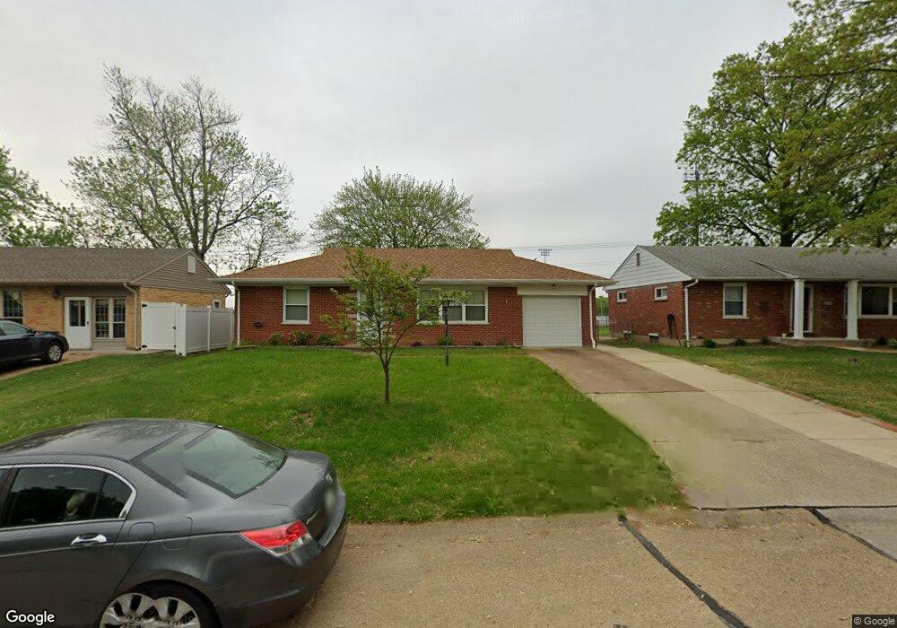
8446 Hampstead Dr Saint Louis, MO 63123
Estimated Value: $222,386 - $251,000
2
Beds
2
Baths
938
Sq Ft
$257/Sq Ft
Est. Value
About This Home
This home is located at 8446 Hampstead Dr, Saint Louis, MO 63123 and is currently estimated at $240,847, approximately $256 per square foot. 8446 Hampstead Dr is a home located in St. Louis County with nearby schools including Mesnier Primary School, Gotsch Intermediate School, and Rogers Middle School.
Ownership History
Date
Name
Owned For
Owner Type
Purchase Details
Closed on
Jun 27, 2003
Sold by
Jones Thomas L and Jones Shara Starr
Bought by
Garvin James E
Current Estimated Value
Purchase Details
Closed on
Nov 4, 1997
Sold by
Mertz Andrea M and Mertz Andrea
Bought by
Jones Thomas L and Jones Shara Starr
Home Financials for this Owner
Home Financials are based on the most recent Mortgage that was taken out on this home.
Original Mortgage
$76,000
Interest Rate
7.2%
Create a Home Valuation Report for This Property
The Home Valuation Report is an in-depth analysis detailing your home's value as well as a comparison with similar homes in the area
Home Values in the Area
Average Home Value in this Area
Purchase History
| Date | Buyer | Sale Price | Title Company |
|---|---|---|---|
| Garvin James E | $128,500 | -- | |
| Jones Thomas L | -- | -- |
Source: Public Records
Mortgage History
| Date | Status | Borrower | Loan Amount |
|---|---|---|---|
| Previous Owner | Jones Thomas L | $76,000 |
Source: Public Records
Tax History
| Year | Tax Paid | Tax Assessment Tax Assessment Total Assessment is a certain percentage of the fair market value that is determined by local assessors to be the total taxable value of land and additions on the property. | Land | Improvement |
|---|---|---|---|---|
| 2025 | $2,811 | $42,690 | $14,930 | $27,760 |
| 2024 | $2,811 | $34,580 | $9,960 | $24,620 |
| 2023 | $2,718 | $34,580 | $9,960 | $24,620 |
| 2022 | $3,070 | $33,520 | $9,960 | $23,560 |
| 2021 | $2,802 | $33,520 | $9,960 | $23,560 |
| 2020 | $2,344 | $26,110 | $9,730 | $16,380 |
| 2019 | $2,339 | $26,110 | $9,730 | $16,380 |
| 2018 | $2,147 | $21,160 | $6,780 | $14,380 |
| 2017 | $2,133 | $21,160 | $6,780 | $14,380 |
| 2016 | $1,770 | $18,620 | $5,830 | $12,790 |
Source: Public Records
Map
Nearby Homes
- 6714 Colony Acres Dr
- 8520 Ava Dr
- 8200 New Hampshire Ave
- 6527 Gramond Dr
- 8615 Charlton Ln
- 8628 Charlton Ln
- 8210 Marvale Ln
- 8942 Eden Ave
- 9702 Sterling Place
- 8016 Wynwood Dr
- 8348 Vasel Dr
- 9320 Sterling Place
- 9304 Aster Ave
- 7243 General Sherman Ln
- 7837 La Belle St
- 8506 Mathilda Ave
- 9406 Mackenzie Rd
- 9209 Lucia Dr
- 6625 Hurstgreen Ln
- 9319 Lenard Ct
- 8450 Hampstead Dr
- 8442 Hampstead Dr
- 8438 Hampstead Dr
- 8458 Hampstead Dr
- 8434 Hampstead Dr
- 8447 Hampstead Dr
- 8443 Hampstead Dr
- 8451 Hampstead Dr
- 8439 Hampstead Dr
- 8455 Hampstead Dr
- 8430 Hampstead Dr
- 8462 Hampstead Dr
- 8435 Hampstead Dr
- 8459 Hampstead Dr
- 8431 Hampstead Dr
- 8477 Hampstead Dr
- 8432 New Hampshire Ave
- 8428 New Hampshire Ave
- 8436 New Hampshire Ave
Your Personal Tour Guide
Ask me questions while you tour the home.