8447 Mooresville Rd Concord, NC 28027
Estimated Value: $413,000 - $534,784
3
Beds
1
Bath
2,045
Sq Ft
$239/Sq Ft
Est. Value
About This Home
This home is located at 8447 Mooresville Rd, Concord, NC 28027 and is currently estimated at $488,696, approximately $238 per square foot. 8447 Mooresville Rd is a home located in Cabarrus County with nearby schools including Charles E. Boger Elementary School, Northwest Cabarrus Middle School, and Northwest Cabarrus High.
Ownership History
Date
Name
Owned For
Owner Type
Purchase Details
Closed on
Jan 9, 2020
Sold by
Mesimer Kenneth R and Mesimer Deborah L
Bought by
Mesimer David Wayne and Mesimer Elizabeth Bridgeman
Current Estimated Value
Home Financials for this Owner
Home Financials are based on the most recent Mortgage that was taken out on this home.
Original Mortgage
$201,596
Outstanding Balance
$117,150
Interest Rate
3.6%
Mortgage Type
New Conventional
Estimated Equity
$371,547
Purchase Details
Closed on
Dec 30, 2010
Sold by
County Of Cabarrus
Bought by
Mesimer Kenneth Ray and Mesimer Deborah L
Create a Home Valuation Report for This Property
The Home Valuation Report is an in-depth analysis detailing your home's value as well as a comparison with similar homes in the area
Home Values in the Area
Average Home Value in this Area
Purchase History
| Date | Buyer | Sale Price | Title Company |
|---|---|---|---|
| Mesimer David Wayne | $255,000 | None Available | |
| Mesimer Kenneth Ray | $4,000 | None Available |
Source: Public Records
Mortgage History
| Date | Status | Borrower | Loan Amount |
|---|---|---|---|
| Open | Mesimer David Wayne | $201,596 |
Source: Public Records
Tax History Compared to Growth
Tax History
| Year | Tax Paid | Tax Assessment Tax Assessment Total Assessment is a certain percentage of the fair market value that is determined by local assessors to be the total taxable value of land and additions on the property. | Land | Improvement |
|---|---|---|---|---|
| 2025 | $2,576 | $405,730 | $228,900 | $176,830 |
| 2024 | $2,576 | $405,730 | $228,900 | $176,830 |
| 2023 | $2,275 | $275,740 | $143,490 | $132,250 |
| 2022 | $2,038 | $252,220 | $143,490 | $108,730 |
| 2021 | $2,038 | $252,220 | $143,490 | $108,730 |
| 2020 | $2,038 | $252,220 | $143,490 | $108,730 |
| 2019 | $1,747 | $216,170 | $116,160 | $100,010 |
| 2018 | $1,703 | $216,170 | $116,160 | $100,010 |
Source: Public Records
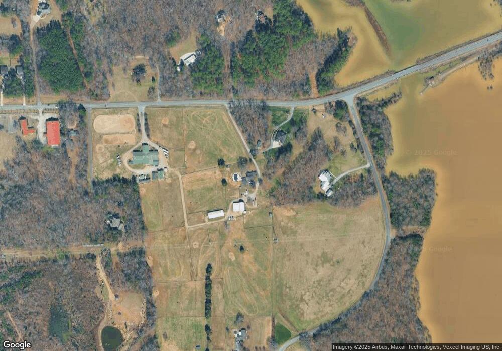
Map
Nearby Homes
- 5850 Alexander Rd
- 9650 Barnett Rd
- 6327 Fox Tail Ln
- 6872 Buttercup Ln
- 6761 Fox Ridge Cir
- 0000 Farmstead Ln
- 0 Honey Tree Ln
- 4012 Honey Tree Ln
- 3277 Trinity Church Dr
- 3351 Trinity Church Dr
- 260 Westen Acres Dr
- 3322 Helmsley Ct
- 6321 Trinity Crossing Cir
- 10150 Enclave Cir
- 10170 Enclave Cir
- 5950 Willowood Rd
- 10118 Castlebrooke Dr
- 2740 Berkhamstead Cir
- 10131 Castlebrooke Dr
- 860 Arrow Point Ln
- 8301 Mooresville Rd
- 4489 Shimpock Rd
- 8471 Mooresville Rd
- 8400 Mooresville Rd
- 8440 Mooresville Rd
- 8420 Mooresville Rd
- 4451 Shimpock Rd
- 8580 Mooresville Rd
- 8580 Mooresville Rd
- 4431 Shimpock Rd
- 8614 Mooresville Rd
- 8618 Mooresville Rd
- 8714 Mooresville Rd
- 5101 Petersburg Dr
- 8600 Mooresville Rd
- 4379 Shimpock Rd
- 5175 Lynchburg Dr
- 5145 Petersburg Dr
- 4349 Shimpock Rd
- 0 Mooresville Rd