8448 Grindstone Hill Rd Chambersburg, PA 17202
Estimated Value: $378,000 - $1,751,000
5
Beds
2
Baths
--
Sq Ft
127.28
Acres
About This Home
This home is located at 8448 Grindstone Hill Rd, Chambersburg, PA 17202 and is currently estimated at $1,122,657. 8448 Grindstone Hill Rd is a home located in Franklin County with nearby schools including Greencastle-Antrim Primary School, Greencastle-Antrim Elementary School, and Greencastle-Antrim Middle School.
Ownership History
Date
Name
Owned For
Owner Type
Purchase Details
Closed on
Jan 9, 2012
Sold by
Hawbaker Carl E and Hawkbaker Ardith L
Bought by
Hawbaker Leslie H and Hawbaker Ida M
Current Estimated Value
Purchase Details
Closed on
Jan 19, 2010
Sold by
Diller Frances Helen and Pilgrim Mennonite Conference
Bought by
Hawbaker Carl E and Hawbaker Ardith L
Home Financials for this Owner
Home Financials are based on the most recent Mortgage that was taken out on this home.
Original Mortgage
$350,000
Interest Rate
4.79%
Mortgage Type
Future Advance Clause Open End Mortgage
Create a Home Valuation Report for This Property
The Home Valuation Report is an in-depth analysis detailing your home's value as well as a comparison with similar homes in the area
Home Values in the Area
Average Home Value in this Area
Purchase History
| Date | Buyer | Sale Price | Title Company |
|---|---|---|---|
| Hawbaker Leslie H | $350,000 | None Available | |
| Hawbaker Carl E | $1,050,000 | None Available |
Source: Public Records
Mortgage History
| Date | Status | Borrower | Loan Amount |
|---|---|---|---|
| Open | Hawbaker Leslie H | $360,000 | |
| Closed | Hawbaker Leslie H | $400,000 | |
| Closed | Hawbaker Leslie H | $125,000 | |
| Closed | Hawbaker Carl E | $350,000 |
Source: Public Records
Tax History Compared to Growth
Tax History
| Year | Tax Paid | Tax Assessment Tax Assessment Total Assessment is a certain percentage of the fair market value that is determined by local assessors to be the total taxable value of land and additions on the property. | Land | Improvement |
|---|---|---|---|---|
| 2025 | $9,189 | $54,930 | $12,880 | $42,050 |
| 2024 | $8,337 | $54,930 | $12,880 | $42,050 |
| 2023 | $8,238 | $54,930 | $12,880 | $42,050 |
| 2022 | $8,238 | $54,930 | $12,880 | $42,050 |
| 2021 | $8,079 | $54,930 | $12,880 | $42,050 |
| 2020 | $7,868 | $54,930 | $12,880 | $42,050 |
| 2019 | $7,690 | $54,930 | $12,880 | $42,050 |
| 2018 | $7,607 | $54,930 | $12,880 | $42,050 |
| 2017 | $7,415 | $54,930 | $12,880 | $42,050 |
| 2016 | $1,574 | $54,930 | $12,880 | $42,050 |
| 2015 | $1,122 | $42,010 | $12,880 | $29,130 |
| 2014 | $1,122 | $42,010 | $12,880 | $29,130 |
Source: Public Records
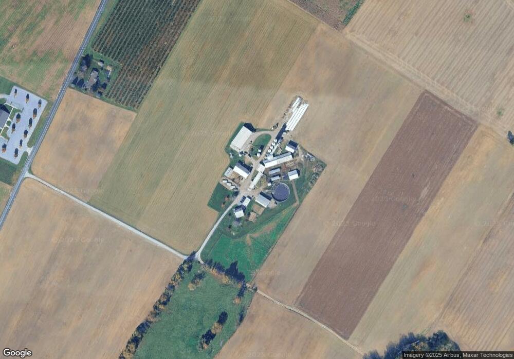
Map
Nearby Homes
- 9227 Grindstone Hill Rd
- 790 Antrim Ln
- 7290 Angle Rd
- 1631 Buchanan Trail E
- 8655 Wayne Hwy
- 1921 Hartzok Rd
- 5490 Honey Rock Ct
- 6456 Wayne Hwy
- 823 Buchanan Trail E
- 602 Brookview Dr
- 560 Meadowview Cir
- 5118 Burkholder Rd
- 231 N Allison St Unit 1
- 5434 Manheim Rd
- 148 E Madison St
- 271 E Baltimore St
- 373 Craig Rd
- 64 W Walter Ave
- 6159 Orphanage Rd
- 90 W Walter Ave
- 8979 Grindstone Hill Rd
- 8330 Grindstone Hill Rd
- 8535 Grindstone Hill Rd
- 77 Clay Hill Rd
- 1.37+/- ACRES Clay Hill Rd
- 1.37+- ACRES Clay Hill Rd
- 9053 Grindstone Hill Rd
- 9164 Grindstone Hill Rd
- 9180 Grindstone Hill Rd
- 1478 Clay Hill Rd
- 1464 Clay Hill Rd
- 1442 Clay Hill Rd
- 9400 Long Ln
- 1428 Clay Hill Rd
- 1416 Clay Hill Rd
- 8531 Grindstone Hill Rd
- 1140 Grindstone Hill Rd
- 1677 Clay Hill Rd
- 9475 Long Ln
- 9164 Grindstone Hill Rd