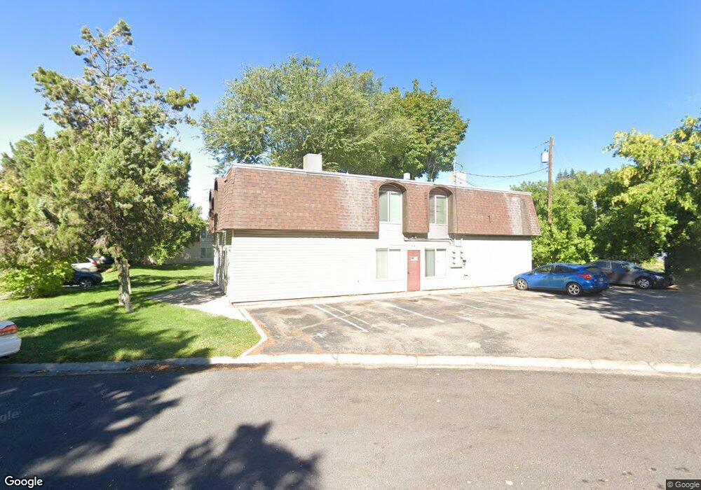
845 E 275 N Logan, UT 84321
Wilson NeighborhoodEstimated Value: $601,000 - $901,000
8
Beds
8
Baths
3,456
Sq Ft
$215/Sq Ft
Est. Value
About This Home
This home is located at 845 E 275 N, Logan, UT 84321 and is currently estimated at $744,333, approximately $215 per square foot. 845 E 275 N is a home located in Cache County with nearby schools including Wilson School, Mount Logan Middle School, and Logan High School.
Ownership History
Date
Name
Owned For
Owner Type
Purchase Details
Closed on
Oct 17, 2014
Sold by
Roberts Steven and Roberts Peggy A
Bought by
L & P Rentals Llc
Current Estimated Value
Purchase Details
Closed on
Feb 1, 2010
Sold by
Eborn Lynzie
Bought by
Roberts Steven A and Roberts Peggy A
Purchase Details
Closed on
Apr 1, 2009
Sold by
Hsbc Bank Usa National Association
Bought by
Eborn Lynzie
Purchase Details
Closed on
Dec 11, 2008
Sold by
Us Bank National Association
Bought by
Hsbc Bank Usa National Association
Purchase Details
Closed on
May 28, 2008
Sold by
Langford Scott R and Langford Teisha Lee
Bought by
Us Bank National Association
Create a Home Valuation Report for This Property
The Home Valuation Report is an in-depth analysis detailing your home's value as well as a comparison with similar homes in the area
Home Values in the Area
Average Home Value in this Area
Purchase History
| Date | Buyer | Sale Price | Title Company |
|---|---|---|---|
| L & P Rentals Llc | -- | None Available | |
| Roberts Steven A | -- | Cache Title Company | |
| Eborn Lynzie | -- | Backman Title Services | |
| Hsbc Bank Usa National Association | -- | Backman Title Services | |
| Us Bank National Association | $194,586 | Backman Title Services |
Source: Public Records
Tax History
| Year | Tax Paid | Tax Assessment Tax Assessment Total Assessment is a certain percentage of the fair market value that is determined by local assessors to be the total taxable value of land and additions on the property. | Land | Improvement |
|---|---|---|---|---|
| 2025 | $3,121 | $733,990 | $219,300 | $514,690 |
| 2023 | $3,361 | $729,690 | $215,000 | $514,690 |
| 2022 | $3,192 | $647,090 | $132,400 | $514,690 |
| 2021 | $3,485 | $600,300 | $132,400 | $467,900 |
| 2020 | $2,689 | $416,800 | $90,000 | $326,800 |
| 2019 | $2,810 | $416,800 | $90,000 | $326,800 |
| 2018 | $2,502 | $338,800 | $70,000 | $268,800 |
| 2017 | $2,343 | $167,750 | $0 | $0 |
| 2016 | $2,429 | $119,570 | $0 | $0 |
| 2015 | $1,733 | $119,570 | $0 | $0 |
| 2014 | $1,567 | $119,570 | $0 | $0 |
| 2013 | -- | $115,275 | $0 | $0 |
Source: Public Records
Map
Nearby Homes
- 2758 N Canyon Cove Dr
- 2738 N Canyon Cove Dr
- 684 Apple Dr
- 622 Canyon Rd
- 1045 Fox Farm Rd
- 70 River Pointe Dr
- 28 River Pointe Dr
- 545 E Boulevard St
- 1034 Thrushwood Dr
- 45 River Circle Dr
- 74 Canterbury Cir
- 1164 E Mountain Rd
- 640 E 600 N
- 620 E 600 N
- 631 E 600 N
- 440 N 400 E
- 227 N 400 E
- 1147 Eastridge Dr
- 331 N 400 E
- 454 N 400 E
Your Personal Tour Guide
Ask me questions while you tour the home.