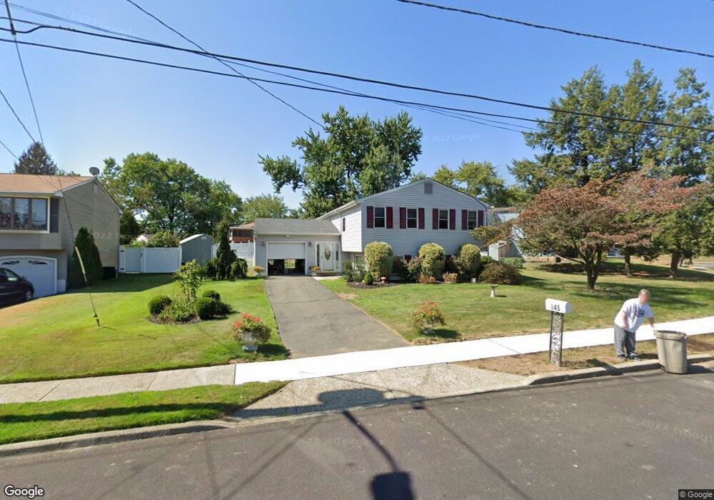
845 Lancing Rd West Deptford, NJ 08096
West Deptford Township NeighborhoodEstimated Value: $366,057 - $418,000
--
Bed
--
Bath
2,046
Sq Ft
$194/Sq Ft
Est. Value
About This Home
This home is located at 845 Lancing Rd, West Deptford, NJ 08096 and is currently estimated at $397,764, approximately $194 per square foot. 845 Lancing Rd is a home located in Gloucester County with nearby schools including Oakview Elementary School, Red Bank Elementary School, and Green-Fields Elementary School.
Ownership History
Date
Name
Owned For
Owner Type
Purchase Details
Closed on
Feb 27, 2004
Sold by
Perry Ressie W
Bought by
Donohue Michael and Donahue Mary Theresa
Current Estimated Value
Home Financials for this Owner
Home Financials are based on the most recent Mortgage that was taken out on this home.
Original Mortgage
$139,000
Outstanding Balance
$64,962
Interest Rate
5.67%
Mortgage Type
Purchase Money Mortgage
Estimated Equity
$332,802
Create a Home Valuation Report for This Property
The Home Valuation Report is an in-depth analysis detailing your home's value as well as a comparison with similar homes in the area
Home Values in the Area
Average Home Value in this Area
Purchase History
| Date | Buyer | Sale Price | Title Company |
|---|---|---|---|
| Donohue Michael | $183,000 | -- | |
| Donahue Michael | $183,000 | Group 21 |
Source: Public Records
Mortgage History
| Date | Status | Borrower | Loan Amount |
|---|---|---|---|
| Open | Donahue Michael | $139,000 | |
| Closed | Donohue Michael | $13,900 |
Source: Public Records
Tax History Compared to Growth
Tax History
| Year | Tax Paid | Tax Assessment Tax Assessment Total Assessment is a certain percentage of the fair market value that is determined by local assessors to be the total taxable value of land and additions on the property. | Land | Improvement |
|---|---|---|---|---|
| 2025 | $6,485 | $185,700 | $53,600 | $132,100 |
| 2024 | $6,401 | $185,700 | $53,600 | $132,100 |
| 2023 | $6,401 | $185,700 | $53,600 | $132,100 |
| 2022 | $6,371 | $185,700 | $53,600 | $132,100 |
| 2021 | $5,944 | $185,700 | $53,600 | $132,100 |
| 2020 | $6,334 | $185,700 | $53,600 | $132,100 |
| 2019 | $6,158 | $185,700 | $53,600 | $132,100 |
| 2018 | $5,991 | $185,700 | $53,600 | $132,100 |
| 2017 | $5,851 | $185,700 | $53,600 | $132,100 |
| 2016 | $5,688 | $185,700 | $53,600 | $132,100 |
| 2015 | $5,503 | $188,600 | $56,500 | $132,100 |
| 2014 | $5,230 | $188,600 | $56,500 | $132,100 |
Source: Public Records
Map
Nearby Homes
- 2 Victorian Way
- 3 Victorian Way
- 7 Victorian Way
- 815 Harker Ave
- 1448 Victory Ave
- 83 Lynn Dr
- 1156 Hessian Ave
- 46 Lynn Dr
- 1009 Hessian Ave
- 112 N Drexel St
- 210 Lawnton Ave
- 1678 Miller Ave
- 1676 Miller Ave
- 1134 Brewer Ave
- 302 W Red Bank Ave
- 193 Dubois Ave
- 1174 Harker Ave
- 1372 Riley Ave
- 654 Frances Ave
- 1346 Verga Ave
- 855 Lancing Rd
- 835 Lancing Rd
- 422 Meadowcroft Rd
- 825 Lancing Rd
- 836 Lancing Rd
- 412 Meadowcroft Rd
- 856 Lancing Rd
- 826 Lancing Rd
- 846 Lancing Rd
- 816 Lancing Rd
- 815 Lancing Rd
- 790 Sterling Rd
- 462 Meadowcroft Rd
- 798 Sterling Rd
- 431 Meadowcroft Rd
- 441 Meadowcroft Rd
- 421 Meadowcroft Rd
- 471 Oakland Rd
- 835 W Red Bank Ave
- 786 Sterling Rd