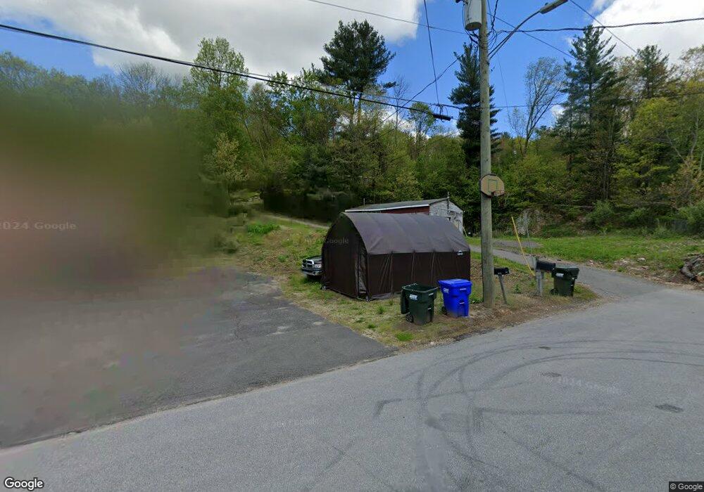
845 N Main St Thomaston, CT 06787
Estimated Value: $346,000 - $627,000
4
Beds
3
Baths
2,950
Sq Ft
$173/Sq Ft
Est. Value
About This Home
This home is located at 845 N Main St, Thomaston, CT 06787 and is currently estimated at $511,527, approximately $173 per square foot. 845 N Main St is a home located in Litchfield County with nearby schools including Black Rock School, Thomaston Center School, and Thomaston High School.
Ownership History
Date
Name
Owned For
Owner Type
Purchase Details
Closed on
Oct 11, 2012
Sold by
Smedley Robert
Bought by
Fayer Leonard S
Current Estimated Value
Home Financials for this Owner
Home Financials are based on the most recent Mortgage that was taken out on this home.
Original Mortgage
$183,650
Outstanding Balance
$127,650
Interest Rate
3.59%
Estimated Equity
$383,877
Purchase Details
Closed on
Aug 1, 2000
Sold by
Mitchell Gert and Mitchell Virginia
Bought by
Smedley Robert
Home Financials for this Owner
Home Financials are based on the most recent Mortgage that was taken out on this home.
Original Mortgage
$107,100
Interest Rate
8.18%
Create a Home Valuation Report for This Property
The Home Valuation Report is an in-depth analysis detailing your home's value as well as a comparison with similar homes in the area
Home Values in the Area
Average Home Value in this Area
Purchase History
| Date | Buyer | Sale Price | Title Company |
|---|---|---|---|
| Fayer Leonard S | $18,000,000 | -- | |
| Smedley Robert | $119,000 | -- |
Source: Public Records
Mortgage History
| Date | Status | Borrower | Loan Amount |
|---|---|---|---|
| Open | Smedley Robert | $183,650 | |
| Previous Owner | Smedley Robert | $104,400 | |
| Previous Owner | Smedley Robert | $107,100 |
Source: Public Records
Tax History Compared to Growth
Tax History
| Year | Tax Paid | Tax Assessment Tax Assessment Total Assessment is a certain percentage of the fair market value that is determined by local assessors to be the total taxable value of land and additions on the property. | Land | Improvement |
|---|---|---|---|---|
| 2025 | $8,119 | $226,730 | $110,600 | $116,130 |
| 2024 | $7,790 | $226,730 | $110,600 | $116,130 |
| 2023 | $7,625 | $226,730 | $110,600 | $116,130 |
| 2022 | $7,280 | $226,730 | $110,600 | $116,130 |
| 2021 | $6,869 | $190,120 | $100,100 | $90,020 |
| 2020 | $6,869 | $190,120 | $100,100 | $90,020 |
| 2019 | $6,945 | $190,120 | $100,100 | $90,020 |
| 2018 | $6,804 | $190,120 | $100,100 | $90,020 |
| 2017 | $6,664 | $190,120 | $100,100 | $90,020 |
| 2016 | $7,355 | $215,880 | $93,100 | $122,780 |
| 2015 | $7,260 | $215,880 | $93,100 | $122,780 |
| 2014 | $7,260 | $215,880 | $93,100 | $122,780 |
Source: Public Records
Map
Nearby Homes