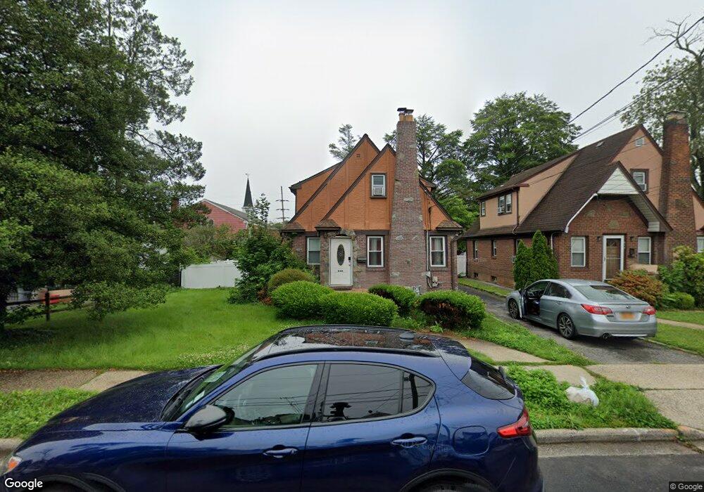
845 Taft St West Hempstead, NY 11552
Estimated Value: $677,000 - $689,973
3
Beds
2
Baths
1,323
Sq Ft
$517/Sq Ft
Est. Value
About This Home
This home is located at 845 Taft St, West Hempstead, NY 11552 and is currently estimated at $683,487, approximately $516 per square foot. 845 Taft St is a home located in Nassau County with nearby schools including Chestnut Street School, West Hempstead Middle School, and West Hempstead Secondary School.
Ownership History
Date
Name
Owned For
Owner Type
Purchase Details
Closed on
Feb 19, 2016
Sold by
Bouldin David and Bouldin Ida
Bought by
Charles Hedwige Jean
Current Estimated Value
Home Financials for this Owner
Home Financials are based on the most recent Mortgage that was taken out on this home.
Original Mortgage
$264,000
Outstanding Balance
$209,495
Interest Rate
3.81%
Mortgage Type
New Conventional
Estimated Equity
$473,992
Purchase Details
Closed on
Jan 3, 1996
Sold by
Tucker Raymond and Tucker Loretta
Bought by
Bouldin David and Bouldin Ida
Home Financials for this Owner
Home Financials are based on the most recent Mortgage that was taken out on this home.
Original Mortgage
$138,400
Interest Rate
7.31%
Create a Home Valuation Report for This Property
The Home Valuation Report is an in-depth analysis detailing your home's value as well as a comparison with similar homes in the area
Home Values in the Area
Average Home Value in this Area
Purchase History
| Date | Buyer | Sale Price | Title Company |
|---|---|---|---|
| Charles Hedwige Jean | $330,000 | Stewart Title Insurance Comp | |
| Bouldin David | $173,000 | -- |
Source: Public Records
Mortgage History
| Date | Status | Borrower | Loan Amount |
|---|---|---|---|
| Open | Charles Hedwige Jean | $264,000 | |
| Previous Owner | Bouldin David | $138,400 |
Source: Public Records
Tax History
| Year | Tax Paid | Tax Assessment Tax Assessment Total Assessment is a certain percentage of the fair market value that is determined by local assessors to be the total taxable value of land and additions on the property. | Land | Improvement |
|---|---|---|---|---|
| 2025 | $12,327 | $448 | $212 | $236 |
| 2024 | $3,799 | $448 | $212 | $236 |
| 2023 | $12,547 | $448 | $212 | $236 |
| 2022 | $12,547 | $448 | $212 | $236 |
| 2021 | $17,833 | $427 | $202 | $225 |
| 2020 | $14,069 | $807 | $528 | $279 |
| 2019 | $14,515 | $719 | $484 | $235 |
| 2018 | $12,188 | $719 | $0 | $0 |
| 2017 | $6,302 | $719 | $484 | $235 |
| 2016 | $9,765 | $719 | $484 | $235 |
| 2015 | $3,221 | $719 | $484 | $235 |
| 2014 | $3,221 | $719 | $484 | $235 |
| 2013 | $3,017 | $719 | $484 | $235 |
Source: Public Records
Map
Nearby Homes
- 846 Harrison St
- 853 Arthur St
- 815 Iris Place
- 321 Oakford St
- 837 Cleveland St
- 841 Woodfield Rd
- 450 Rhodes Ln
- 495 Rose Ave
- 647 Jennings Ave
- 618 Jennings Ave
- 55 Melvin Ave
- 947 Glenwood Rd
- 824 Lawrence Ct
- 312 Coventry Rd S
- 629 Park Ave
- 556 Park Ave
- 485 Barbara Ln
- 1010 Hempstead Ave
- 512 Elm St
- 49 Carol St
Your Personal Tour Guide
Ask me questions while you tour the home.